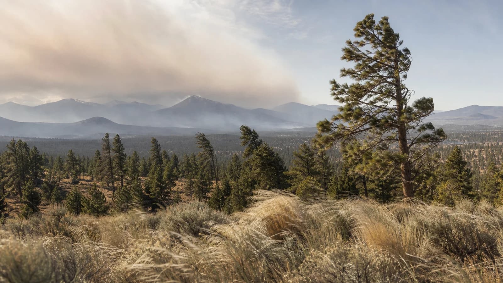
In Central Oregon, wind direction changes the forecast. West wind usually connects Bend to the Cascades and the Pacific storm track, while east wind often brings drier downslope flow, sharper fire-weather concerns, and very different smoke behavior. The difference matters for Bend, the Cascade Lakes, Smith Rock, and every summer plan that depends on smoke, heat, or wind exposure.
Wind Direction Changes the Whole Central Oregon Forecast
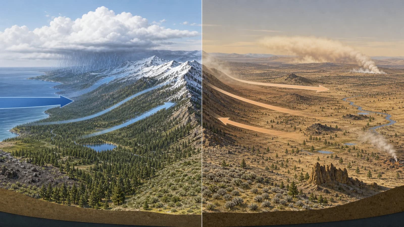
Wind is named for the direction it comes from, so a westerly wind blows from the Cascades toward the high desert, and an easterly wind blows from the drier interior toward the mountains. That distinction matters because the two directions tap completely different air masses. Air arriving from the west has crossed the Cascades and carries marine and mountain influence; air arriving from the east has been sitting over the dry interior of Oregon and the Great Basin. Both can be gusty, but they bring different temperature, humidity, smoke, and fire-weather signals with them.
This is why a plain wind-speed number is only half the forecast. Ten miles per hour from the west does not mean the same thing as ten miles per hour from the east. Direction controls where smoke is transported, which way chop builds on the lakes, whether the afternoon cools off or stays hot, and whether dry interior air is being pushed up against the Cascade foothills where fuels are ready to burn. Reading direction first, then speed, is the habit that makes a Central Oregon forecast actually useful.
What West Wind Usually Means for Bend and the Cascades
West wind is the more familiar Central Oregon pattern, and a lot of it is driven by the daily heating cycle. As the high desert warms through the afternoon, the rising air over the basin lowers surface pressure relative to the cooler air over the mountains, and air flows in to fill the gap, generally from the west. That same daytime heating also mixes faster winds from aloft down to the surface, which is why calm mornings so often give way to breezy westerly afternoons. The flow carries Cascade-side air eastward toward Bend, Redmond, and Madras, which can cool a hot afternoon and roughen the lakes.
West wind is not automatically clean air, though. If fires are burning west of Bend or along the Cascade crest, westerly flow carries that smoke straight into town, so the same wind that clears one day's haze can import the next day's. It can also make paddling difficult on lakes oriented along the wind, such as Elk Lake or Wickiup Reservoir, where the chop builds over a long fetch. A west wind is useful information, but only when paired with where the fires are and how exposed your destination is. The afternoon mixing behind it is part of the broader Central Oregon high-desert climate and the reason Bend afternoons get gusty.
What East Wind Can Mean for Heat, Dryness, and Fire Weather
East wind is the direction fire managers watch most closely, because it tends to be dry, and in some patterns it actively dries further as it moves. Air arriving from the interior already carries little moisture, and when easterly flow descends from higher terrain it compresses and warms on the way down, a downslope process that can drop relative humidity sharply. Low humidity plus wind plus cured fuels is the core recipe for dangerous fire weather, which is why strong, dry east-wind events in late summer and early fall are often when Red Flag Warnings go up.
East wind also rearranges heat and smoke in ways that surprise people. It can hold the smoke from a Cascade fire west of town while pulling in haze from a fire to the east, so a wind shift can swap which problem you have rather than removing it. It can suppress the normal afternoon cooling that westerly flow provides, leaving a hot day hotter. And it can make ridges and west-facing slopes feel warm, dry, and exposed. During fire season especially, the direction of the wind is often a bigger deal than its speed.
How Wind Direction Moves Wildfire Smoke
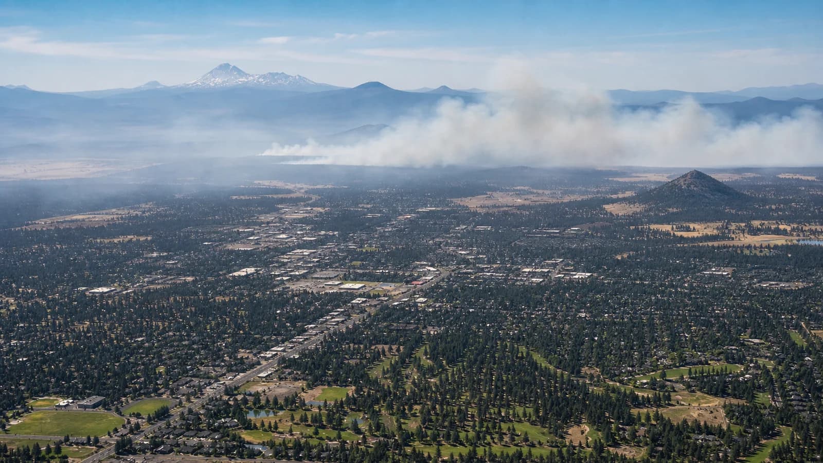
Smoke moves on two different sets of winds, which is why it behaves so unevenly. Up higher, transport winds steer the broad smoke plume across the region, so a plume can ride a west or south flow hundreds of miles from a distant fire and arrive over Central Oregon from a direction that has nothing to do with the breeze you feel on the ground. Near the surface, local terrain-driven flows take over, sloshing that smoke into and out of basins. A broad west wind can move Cascade smoke toward Bend and Redmond, while a north or northeast wind can flush it down the Deschutes corridor, clearing some towns while worsening others.
The overnight pattern matters as much as the daytime one. After dark, when the afternoon mixing dies down and cold air drains into the basins, smoke that was lofted and diluted during the day settles back toward the surface and pools in low spots. That is why a smoky region often has its worst air-quality readings in the early morning, before the day's heating lifts and mixes the smoke again. A still, clear night is not a sign the smoke has left, it is often when it concentrates the most.
This is why smoke conditions can improve in one town and worsen in another at the same time. Sisters, Bend, Redmond, and Smith Rock are close enough for day trips but far enough apart to sit under different smoke plumes.
How to Use Wind Direction When Planning Outdoor Days
Start with the question you care about. For smoke, compare wind direction with active fire locations. For lakes, check whether the wind blows along the length of the water, because that creates rougher chop. For fire weather, watch for dry east wind, low humidity, and gusts. For hiking, remember that exposed ridges and canyon rims feel windier than sheltered forest trails.
It also helps to think in terms of the daily cycle, because the wind here is rarely steady. A typical fair-weather summer day starts calm at dawn, develops a westerly afternoon breeze as the desert heats and the pressure pattern organizes, then eases again after sunset as the heating fades and cold air begins draining into the basins. Storms and frontal passages override that rhythm, and a dry east-wind event can break it entirely, but knowing the default pattern, calm mornings, breezy afternoons, calming evenings, lets you time exposed activities like climbing and paddling for the calmer ends of the day.
A good Central Oregon forecast is not just temperature and precipitation. Wind direction tells you whether the air is arriving from the mountains, the high desert, or a smoke source, and pairing it with the fire map and your destination's exposure turns a vague forecast into a real plan. Once you read that signal, the rest of the forecast becomes much more useful. During summer storms, pair that wind check with the Central Oregon lightning safety guide.