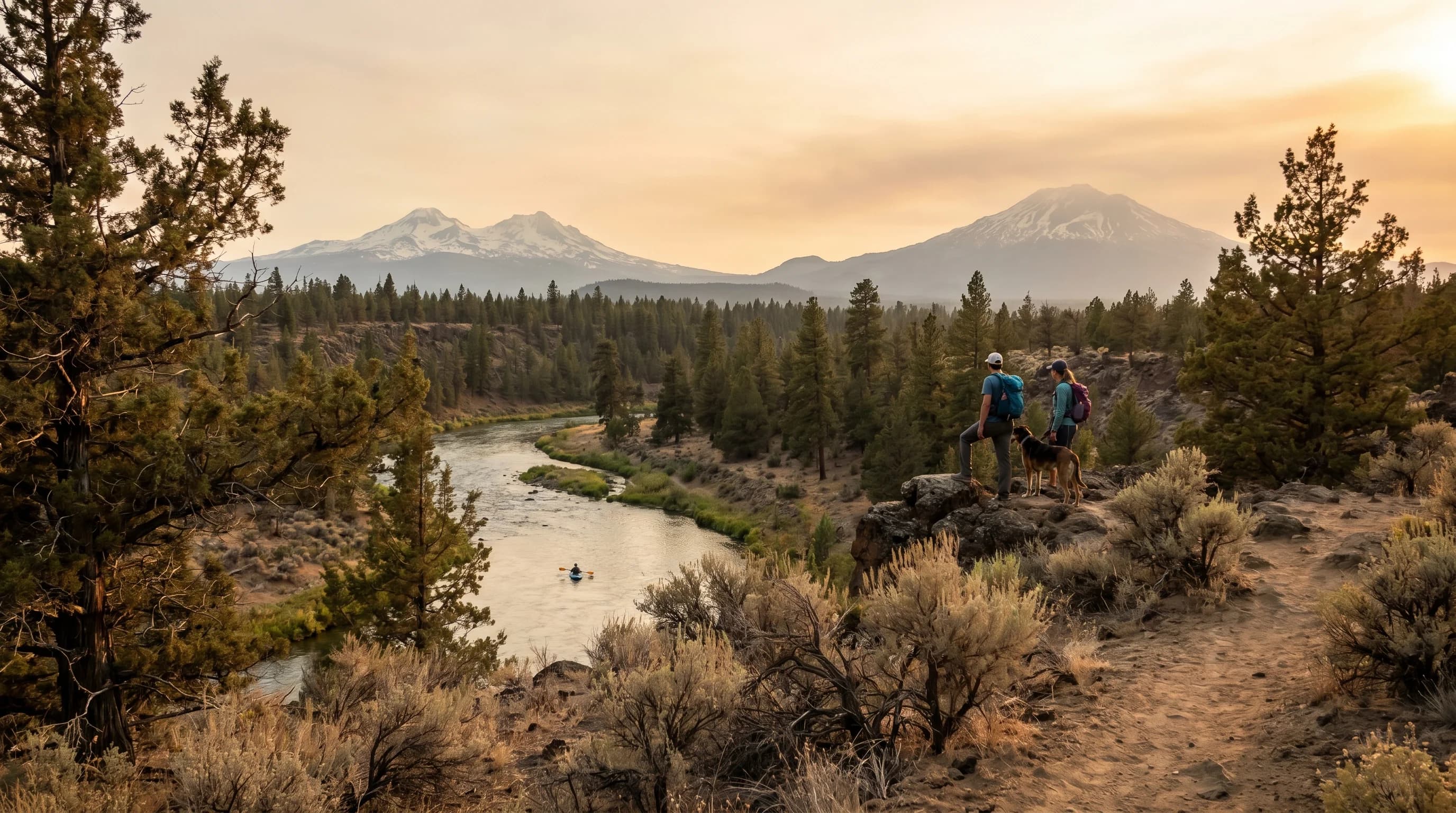
Bend, Oregon Weather: Seasons, Snow, Smoke, and Sunshine
Bend, Oregon is a sunny, dry high desert at about 3,600 feet: snowy cold winters, hot dry summers with smoke risk, and large day-to-night temperature swings all year.
7 min read →Learn The Layers
Explore practical explainers for Bend, the Cascades, wildfire smoke, winter travel, and high-desert microclimates.
Category
Core guides for understanding Central Oregon weather, from Bend seasons to snow level, smoke, wind, and big temperature swings.
Bend, Oregon is a sunny, dry high desert at about 3,600 feet: snowy cold winters, hot dry summers with smoke risk, and large day-to-night temperature swings all year.
7 min read →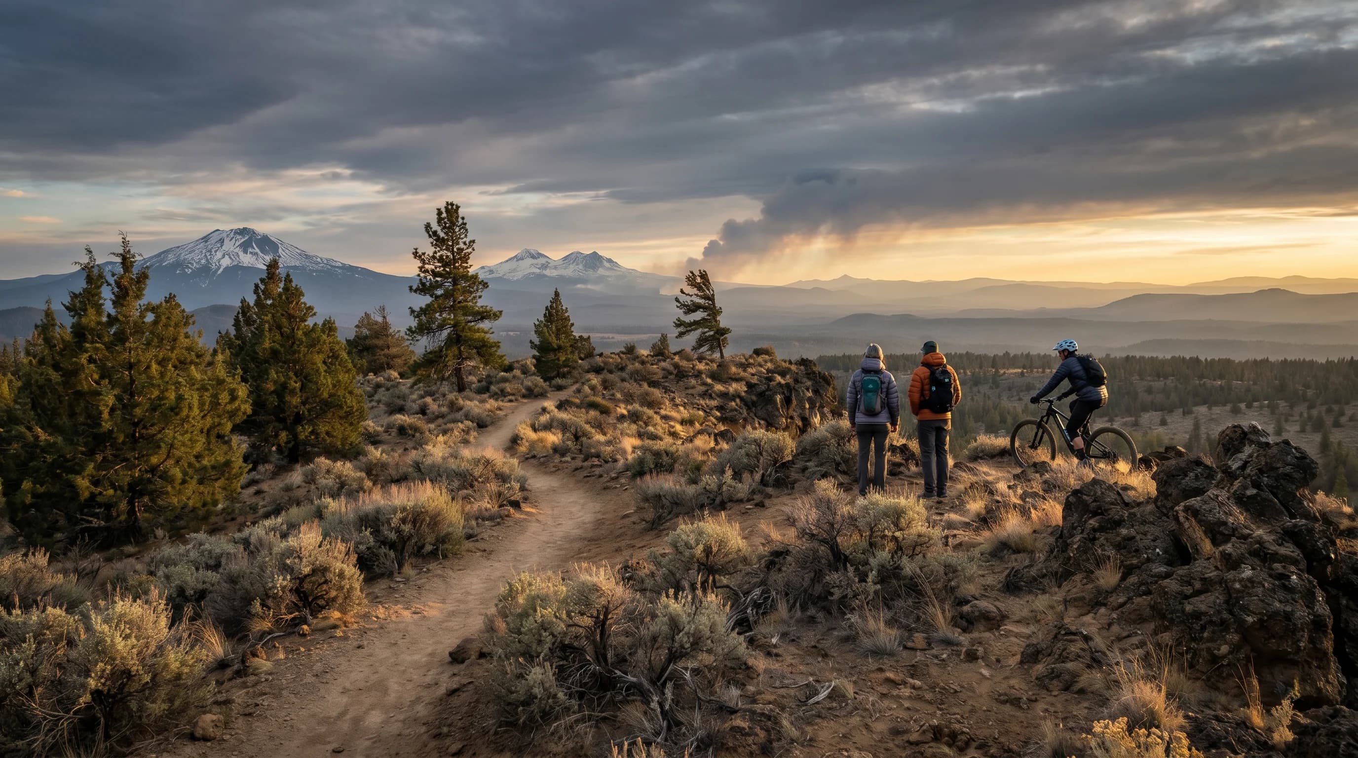
Central Oregon is a dry, sunny high desert in the Cascade rain shadow. Four features shape its weather: snow level, smoke, wind, and the day-to-night temperature swing.
7 min read →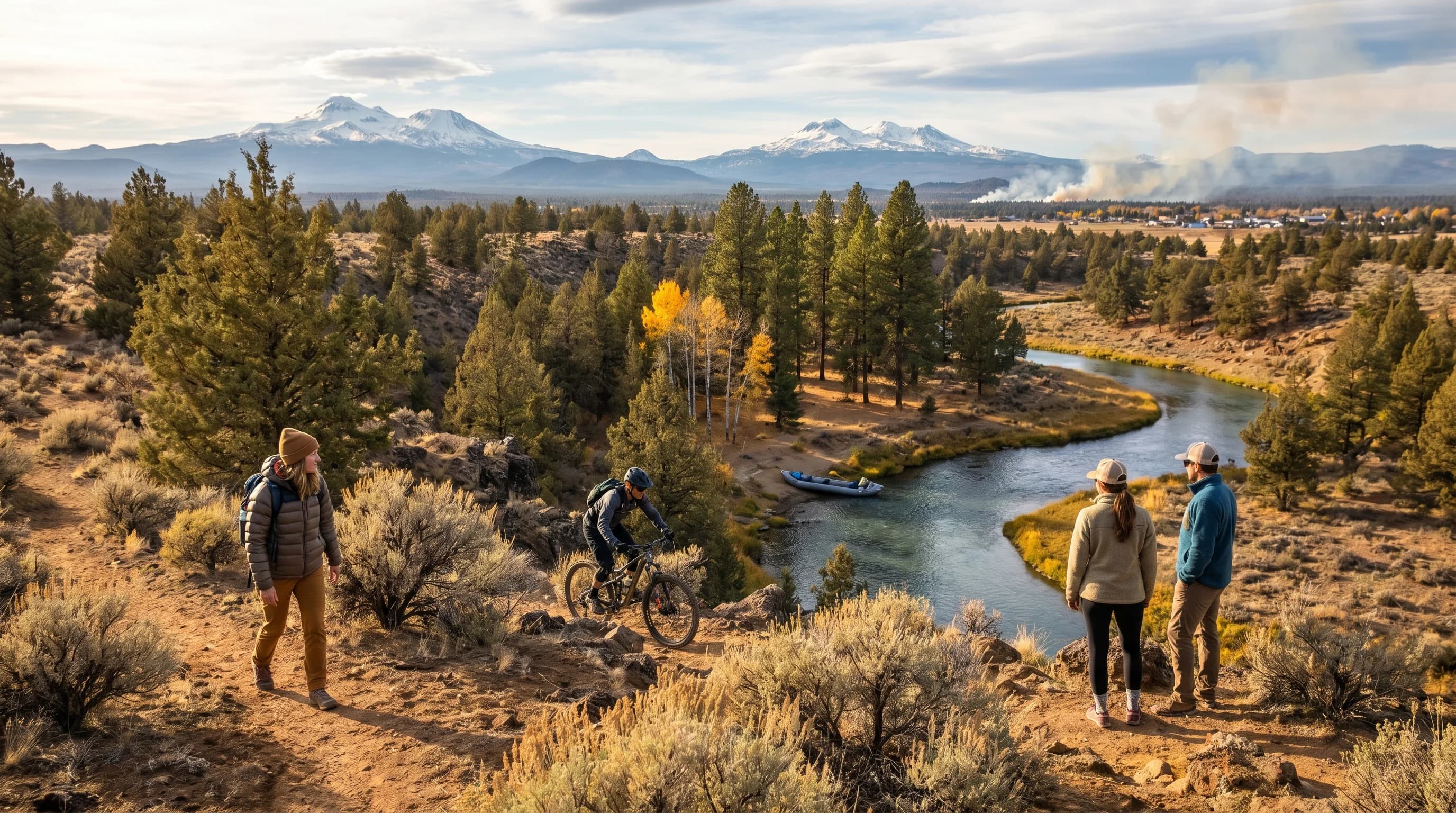
A month-by-month guide to Bend, Oregon weather, from January freezing fog to August smoke to October first snow, with links to a deeper guide for each month.
7 min read →
Central Oregon weather changes fast because dry high-desert air sits beside the snowy Oregon Cascades. Elevation, rain shadow, and cold-air pooling explain most surprises.
7 min read →
Central Oregon snowfall climbs steeply with elevation, from a few inches in Redmond to a couple feet in Bend to hundreds of inches at Mt. Bachelor. Snow level decides who gets what.
7 min read →Category
Month-by-month Bend weather guides for snow, mud season, summer heat, wildfire smoke, fall color, and ski-season travel.
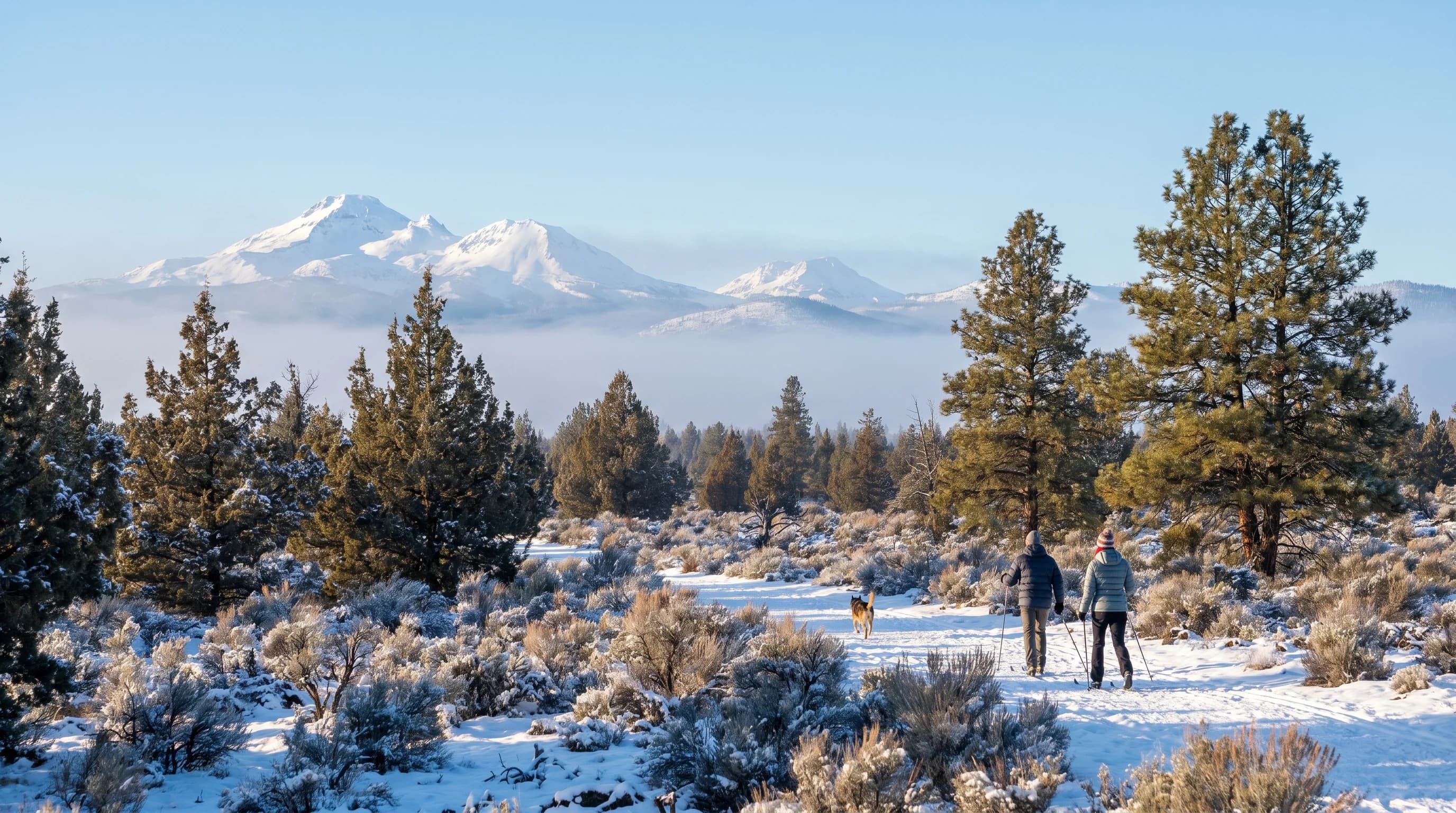
January is Bend's coldest, snowiest month, with freezing fog, hard freezes, and prime Mt. Bachelor skiing. Plan for ice, short days, and bright cold bluebird spells between storms.
5 min read →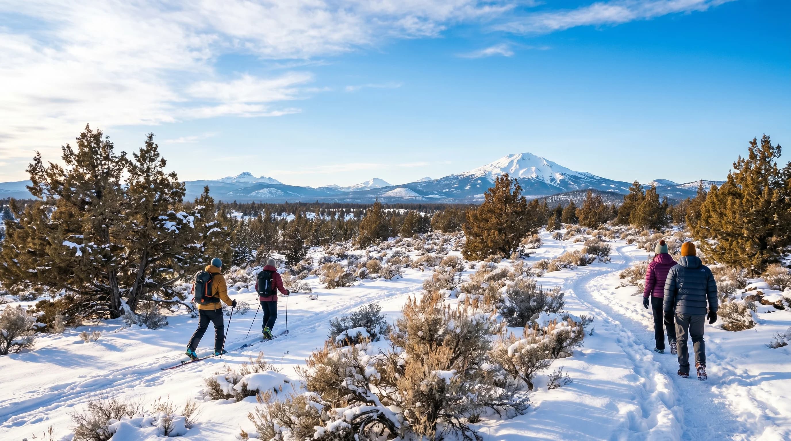
February stays cold and snowy in Bend but brings more sunshine and longer days than January. It is prime late-winter ski season, with freezing fog and ice still in play on cold mornings.
5 min read →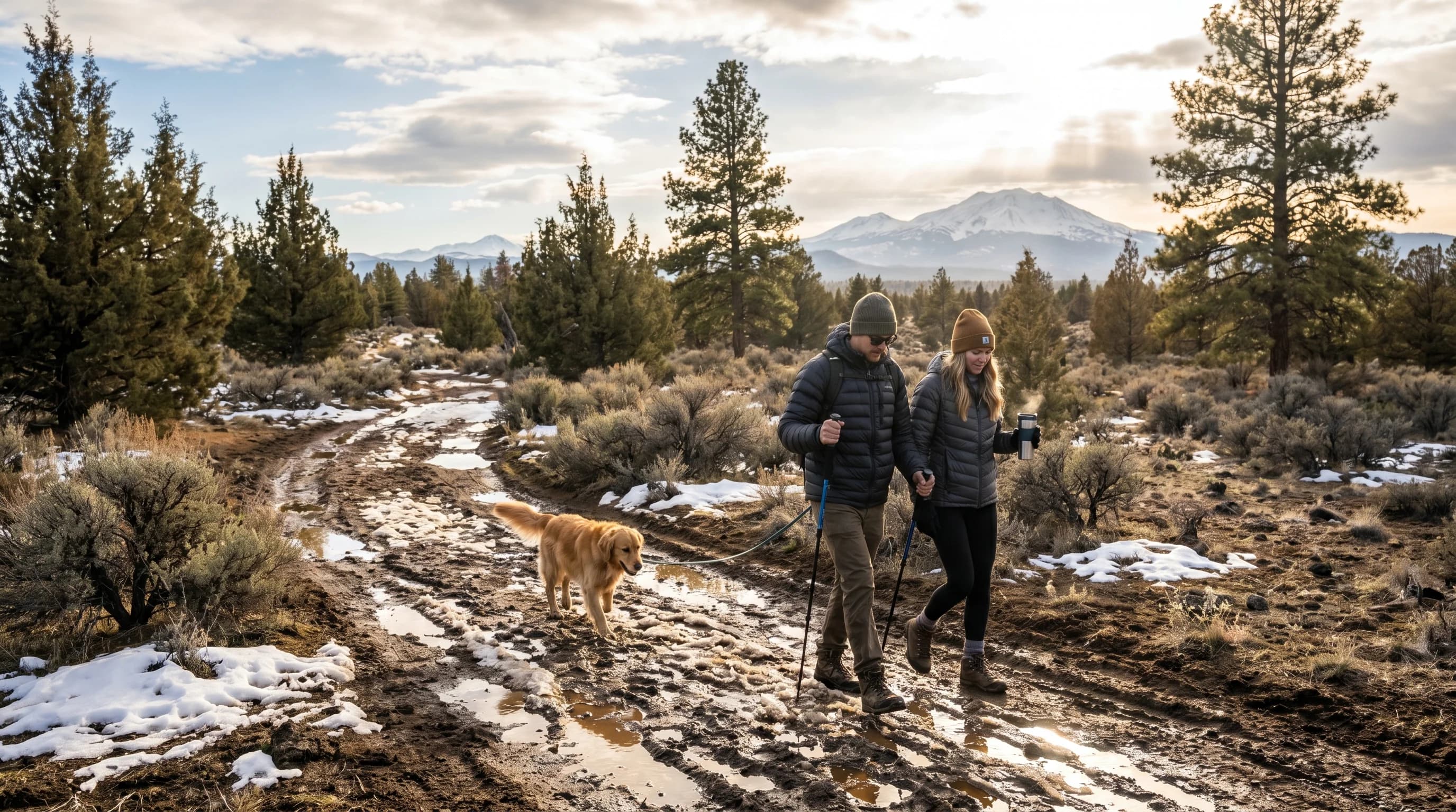
March is Bend’s transition month: low-50s highs, near-freezing nights, lingering snow, mud season on the trails, and excellent spring skiing at Mt. Bachelor. Expect winter and spring in the same week.
5 min read →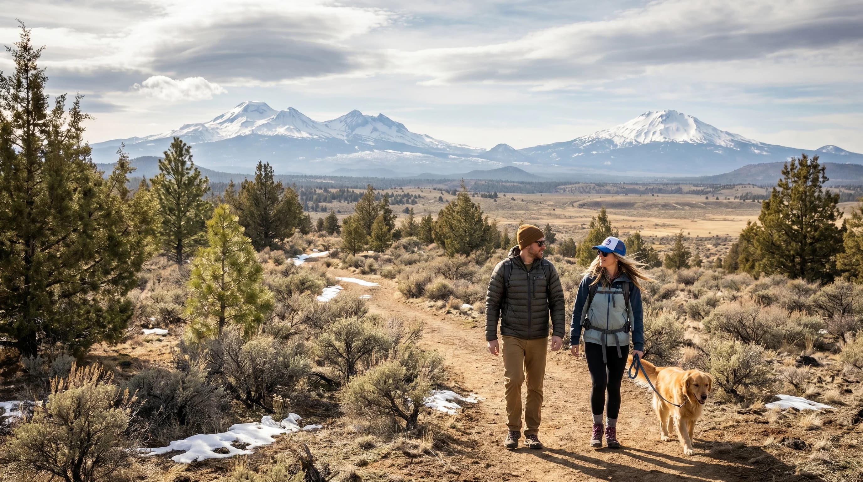
April is spring in Bend with a winter asterisk: upper-50s highs, gusty afternoons, drying trails, spring skiing up high, and a lingering chance of late-season snow. Pack for both seasons.
5 min read →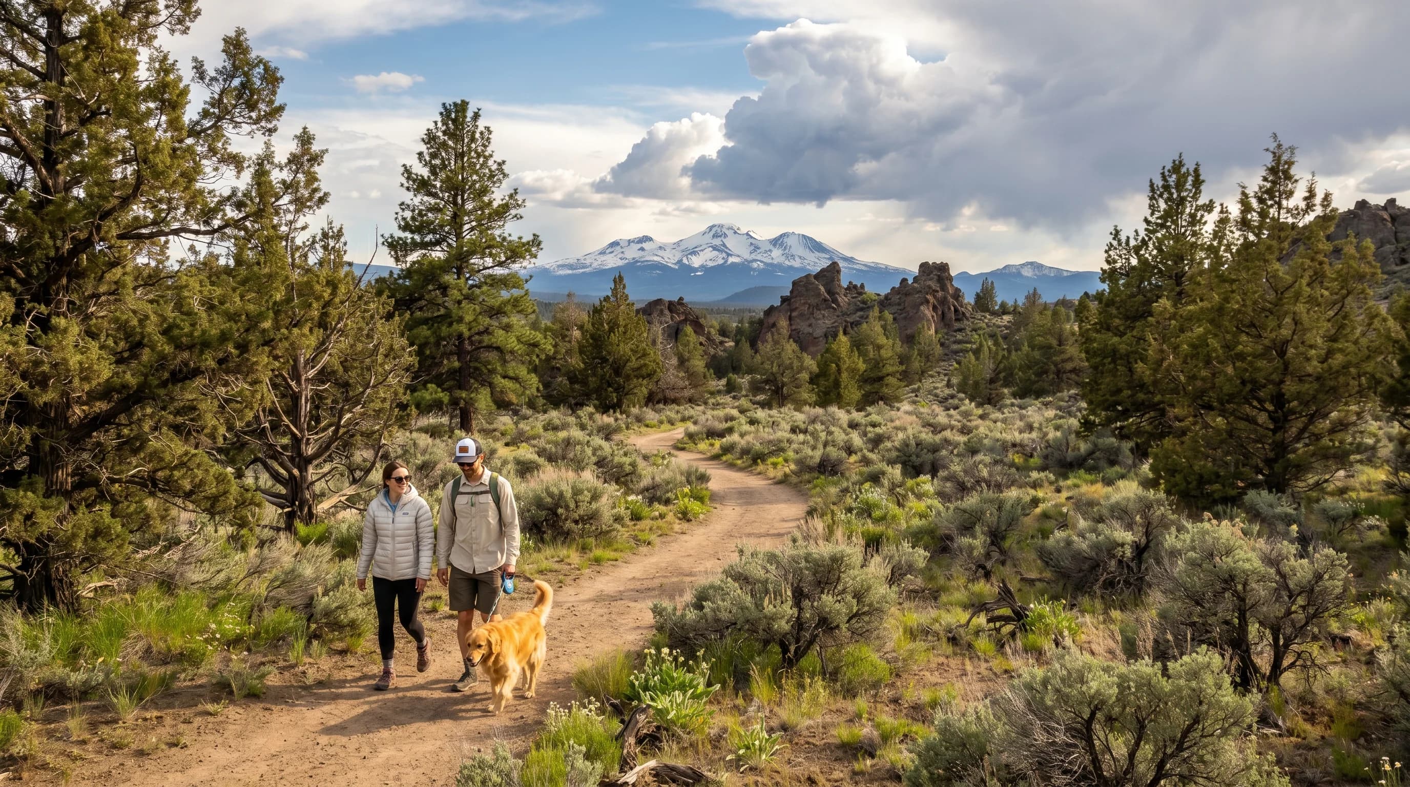
May is the heart of spring in Bend: mid-60s sunny days, cold nights near freezing, dry trails, and the first afternoon thunderstorms. One of the best months to be outside.
5 min read →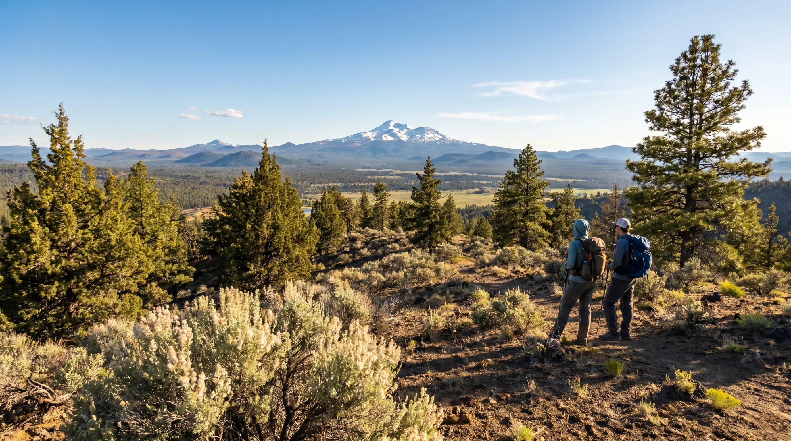
June is early summer at its best in Bend: mid-70s sunny days, cool nights, the longest days of the year, and the high country opening as the last snow melts. Prime season before the heat and smoke.
5 min read →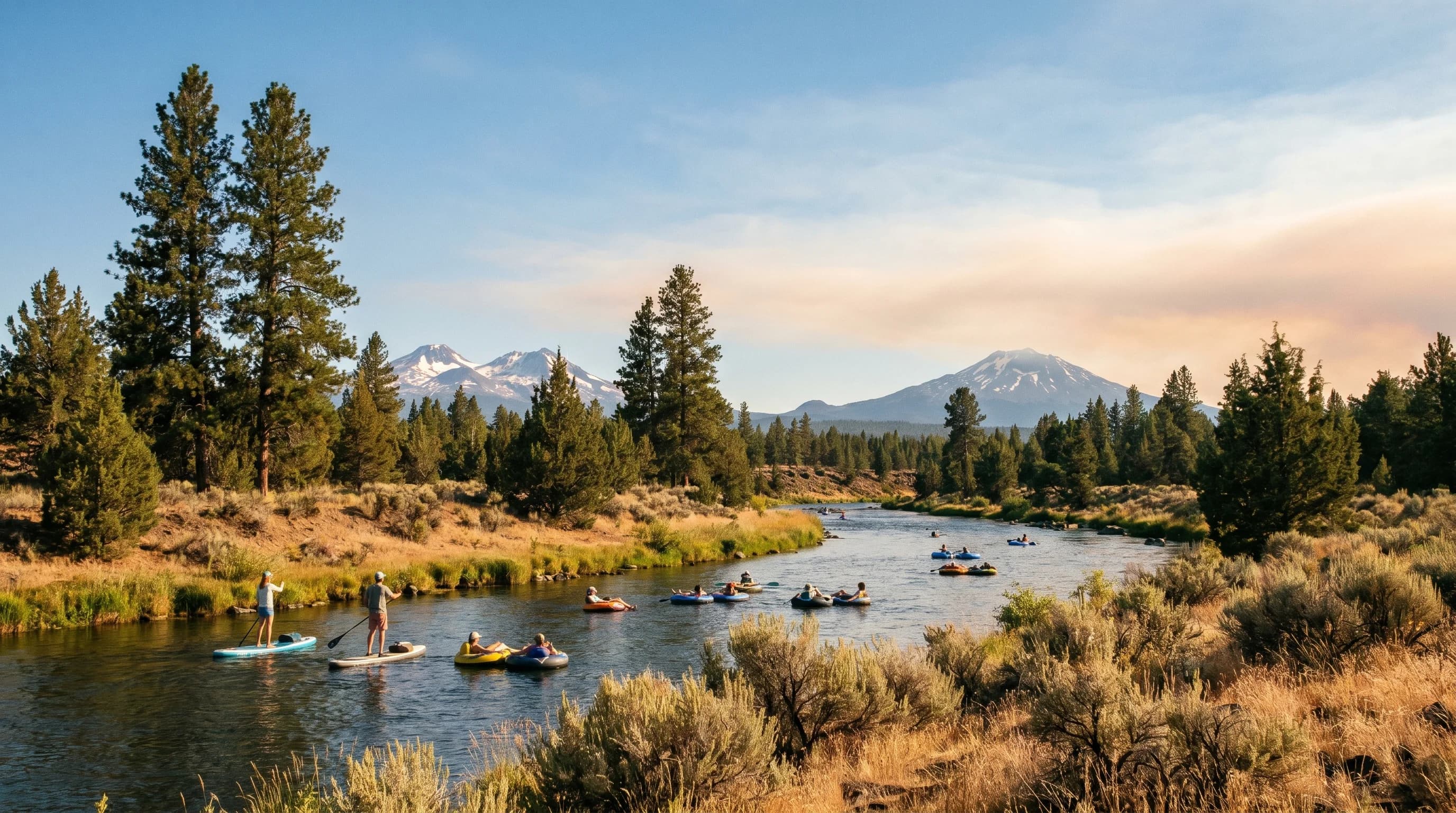
July is peak summer in Bend: mid-80s sunny days, cool 50s nights, almost no rain, and prime river and lake season. The one wildcard is wildfire smoke. Watch the AQI and stay flexible.
5 min read →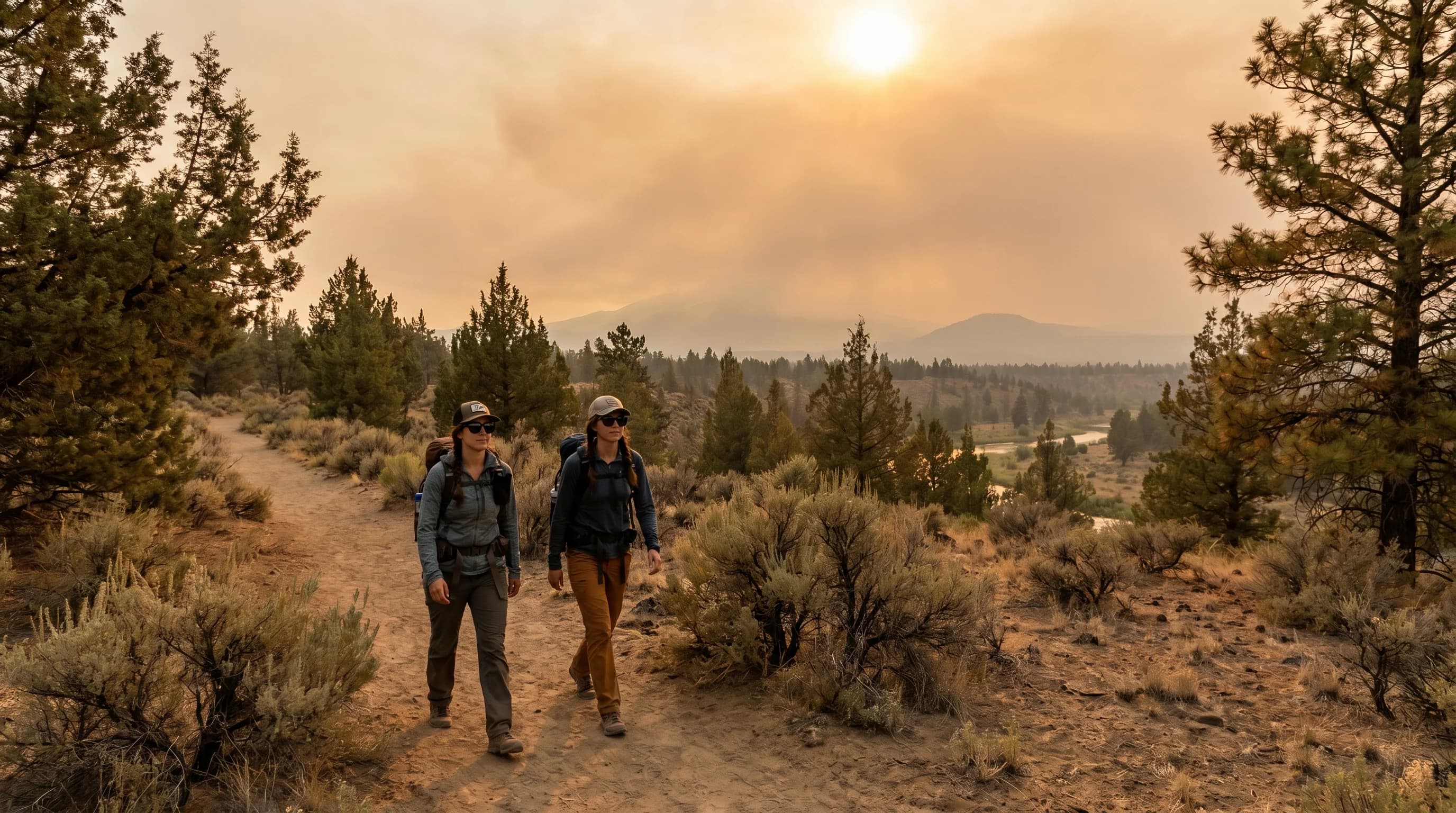
August is high summer in Bend: mid-80s to 90s heat, cool nights, dry sun, and peak river and lake season. It is also the peak of wildfire smoke season, so watch the AQI and keep plans flexible.
5 min read →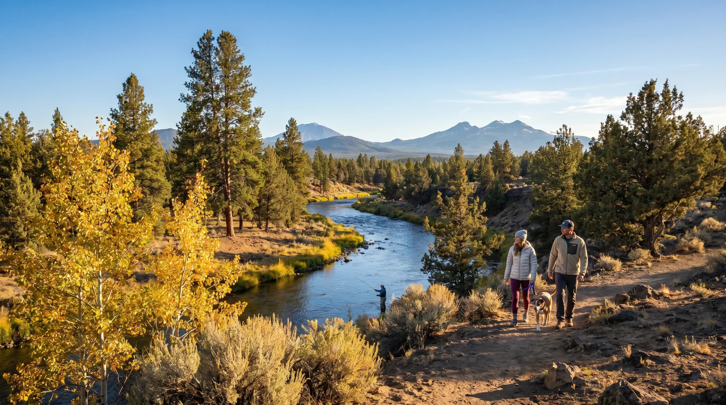
September is one of Bend’s best months: high-70s sunny days, crisp 40s nights, thinning crowds, fading smoke risk, and the first hints of fall. Many locals’ favorite month.
5 min read →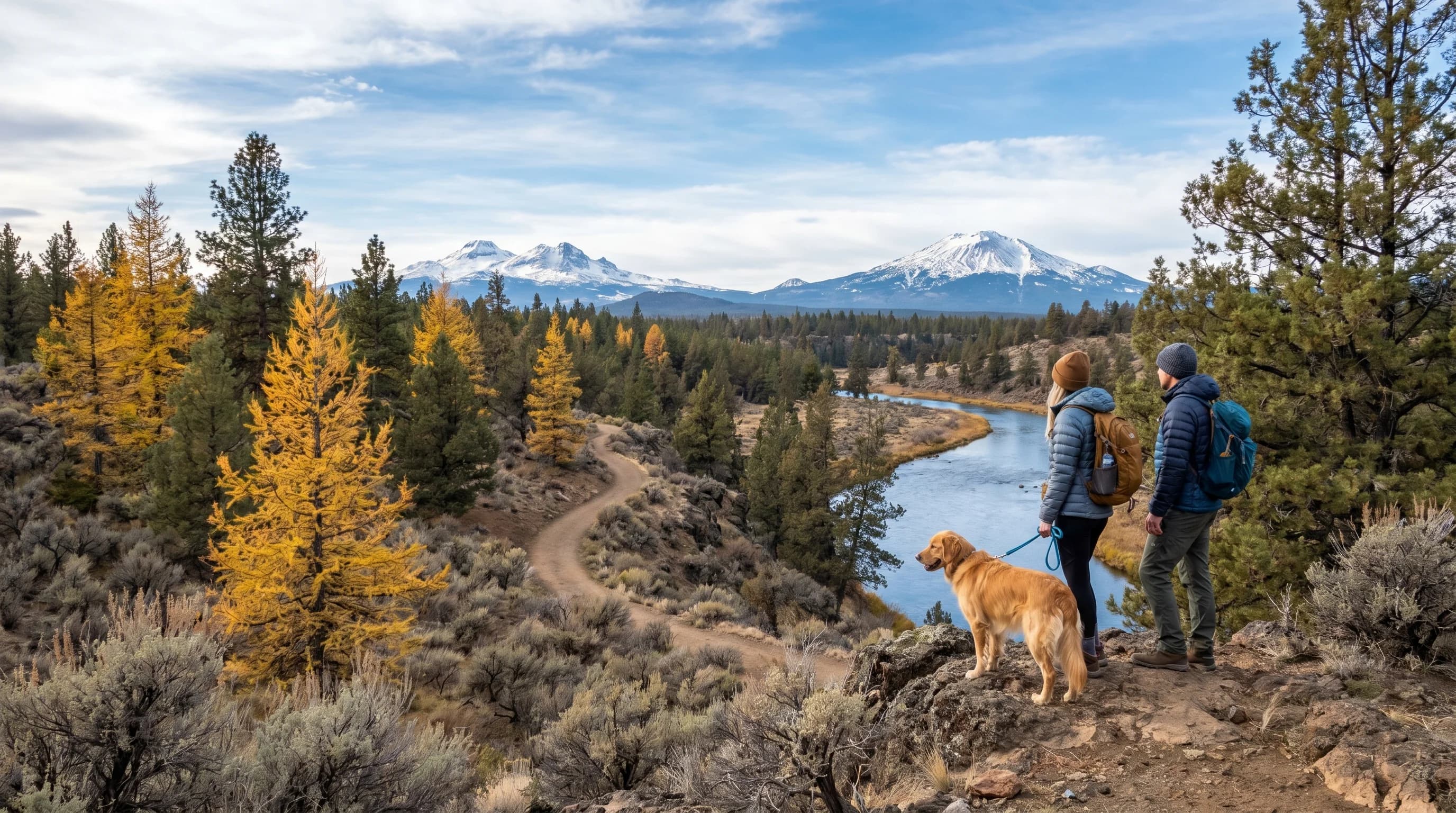
October is full fall in Bend: 60s days, freezing nights, golden larches, smoke-free air, and the first snow on the Cascades. The scenic first half gives way to the season’s first storms.
5 min read →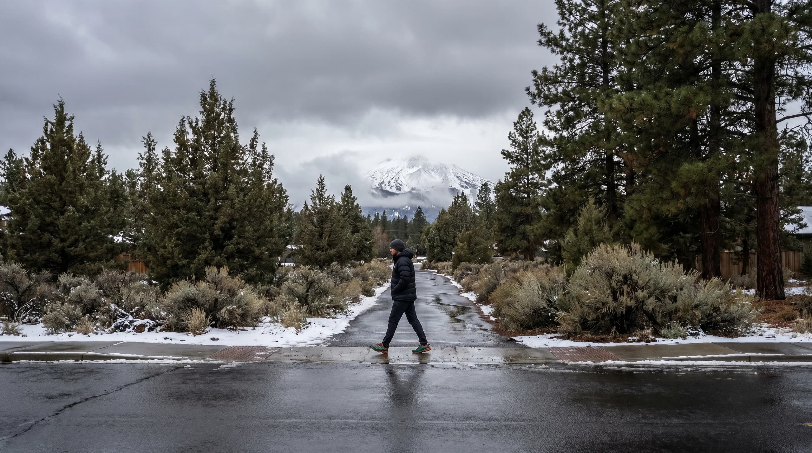
November is the slide into winter in Bend: 40s days, 20s nights, the first real town snow, gray wet storms, and the start of freezing-fog season. The quiet shoulder before ski season.
5 min read →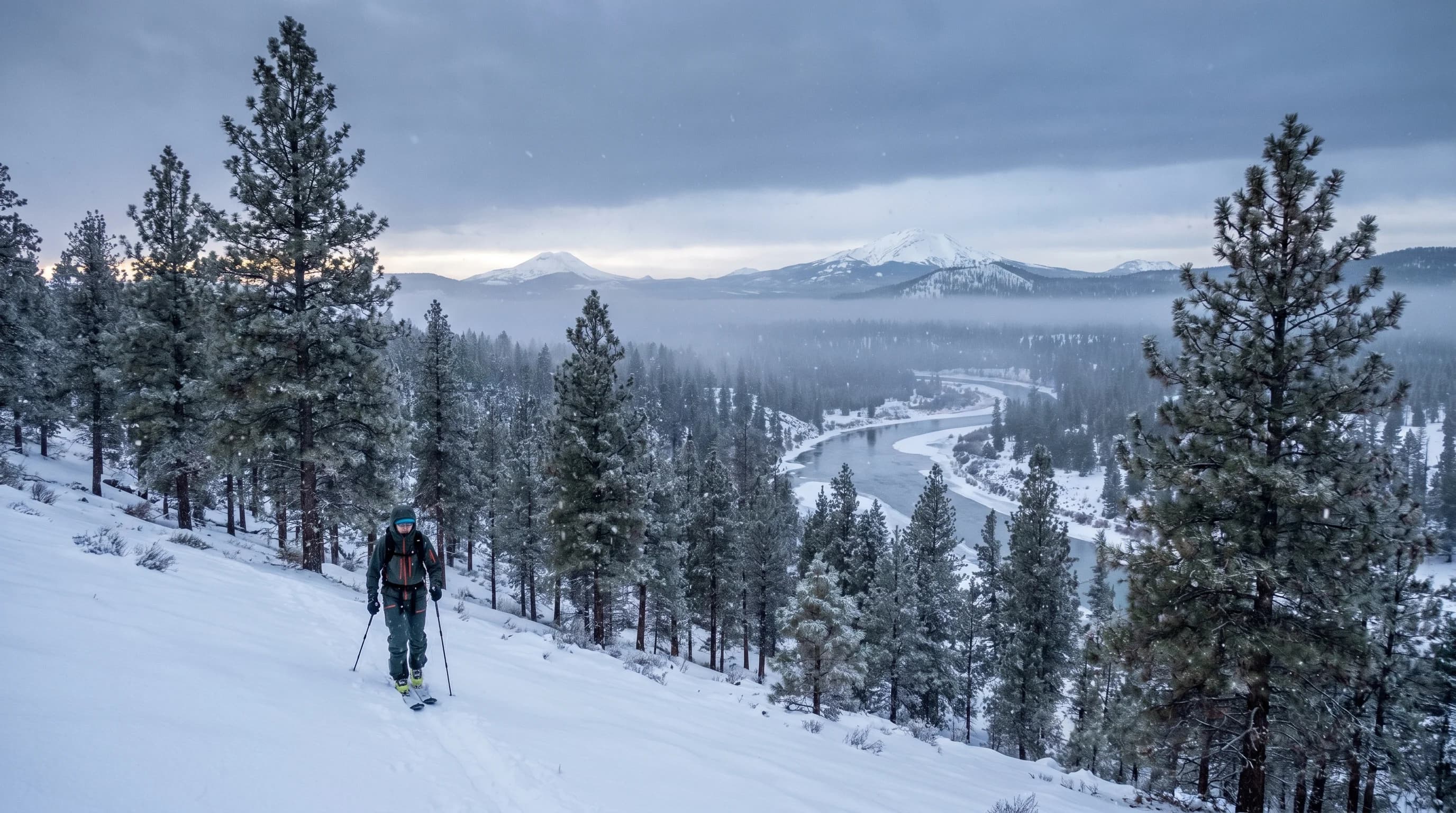
December is full winter in Bend: around-40 highs, low-20s nights, regular snow, freezing fog, short days, and ski season underway at Mt. Bachelor. Snowy in the mountains, festive in town.
5 min read →Category
Snow level, freezing fog, black ice, winter driving, ski-mountain weather, and the hazards that matter on cold Central Oregon days.
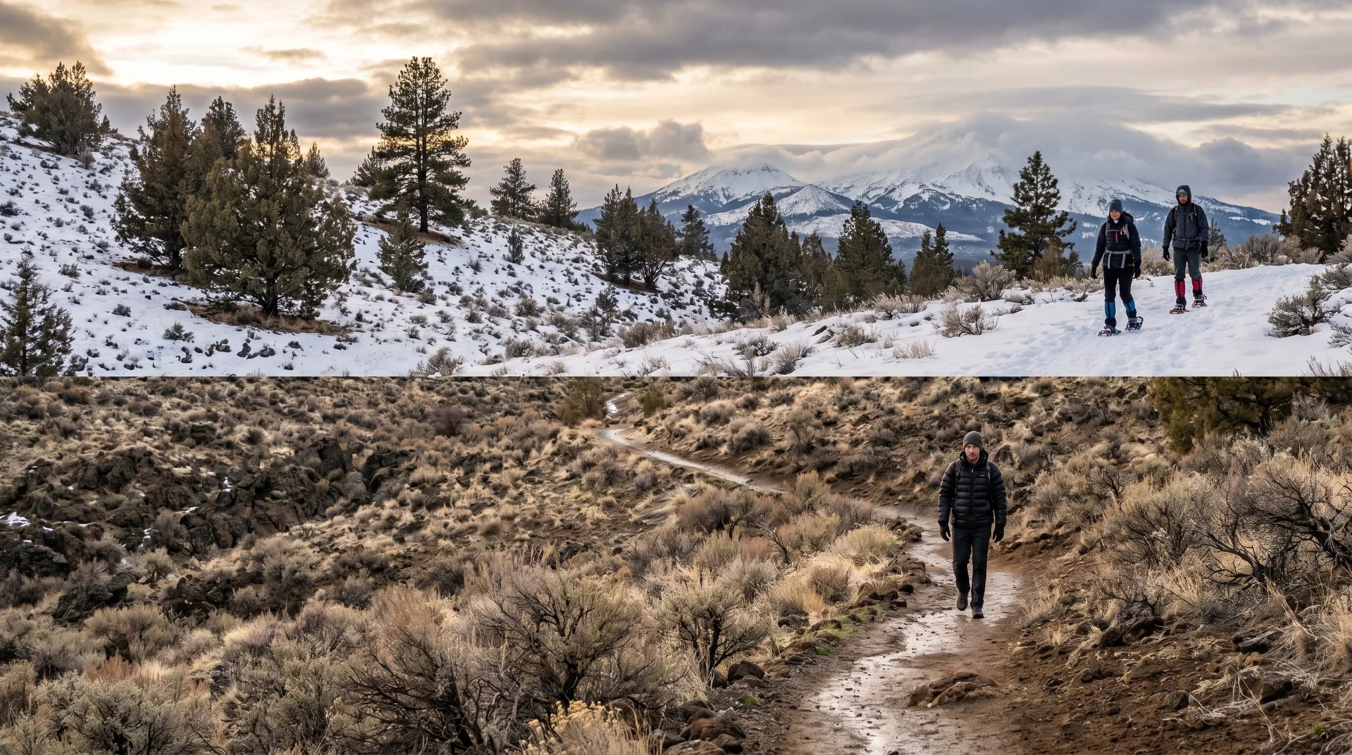
Snow level is the elevation where rain turns to snow, and it is the key number in a Central Oregon winter forecast. Read it against your elevation to know whether you get rain, slush, or snow.
6 min read →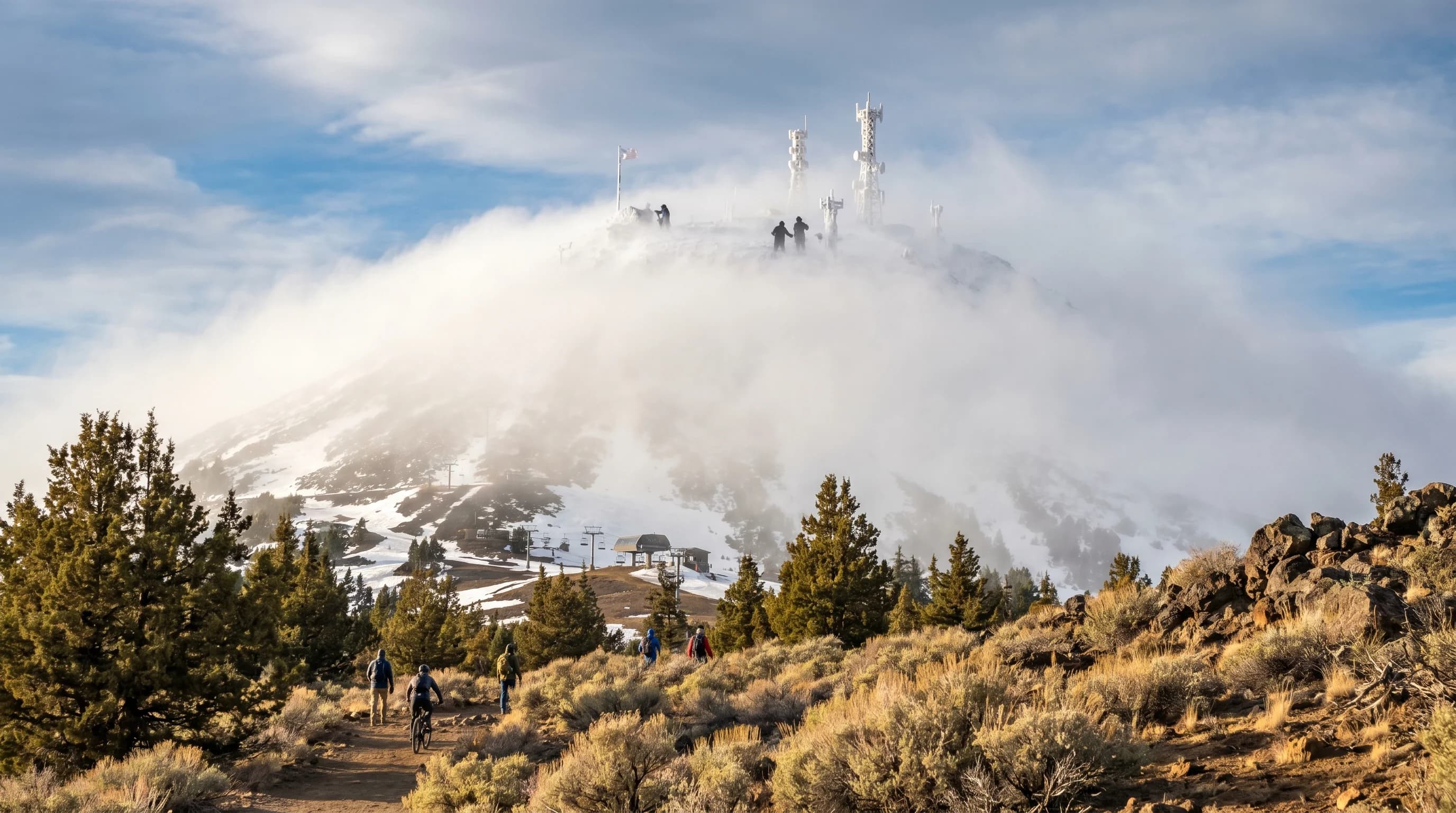
Mt. Bachelor is two mountains at once: a mild base and a cold, windy, whited-out 9,068-foot summit. It averages 300+ inches of snow, and wind holds close the summit often.
6 min read →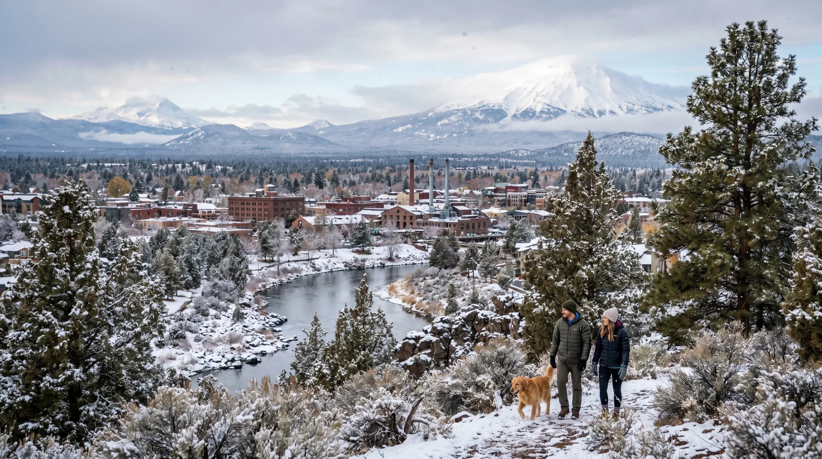
Bend averages roughly 2 feet of snow a year in town, real winter but a fraction of the 300+ inches at Mt. Bachelor. Town snow is intermittent, and ice is often the bigger hazard.
8 min read →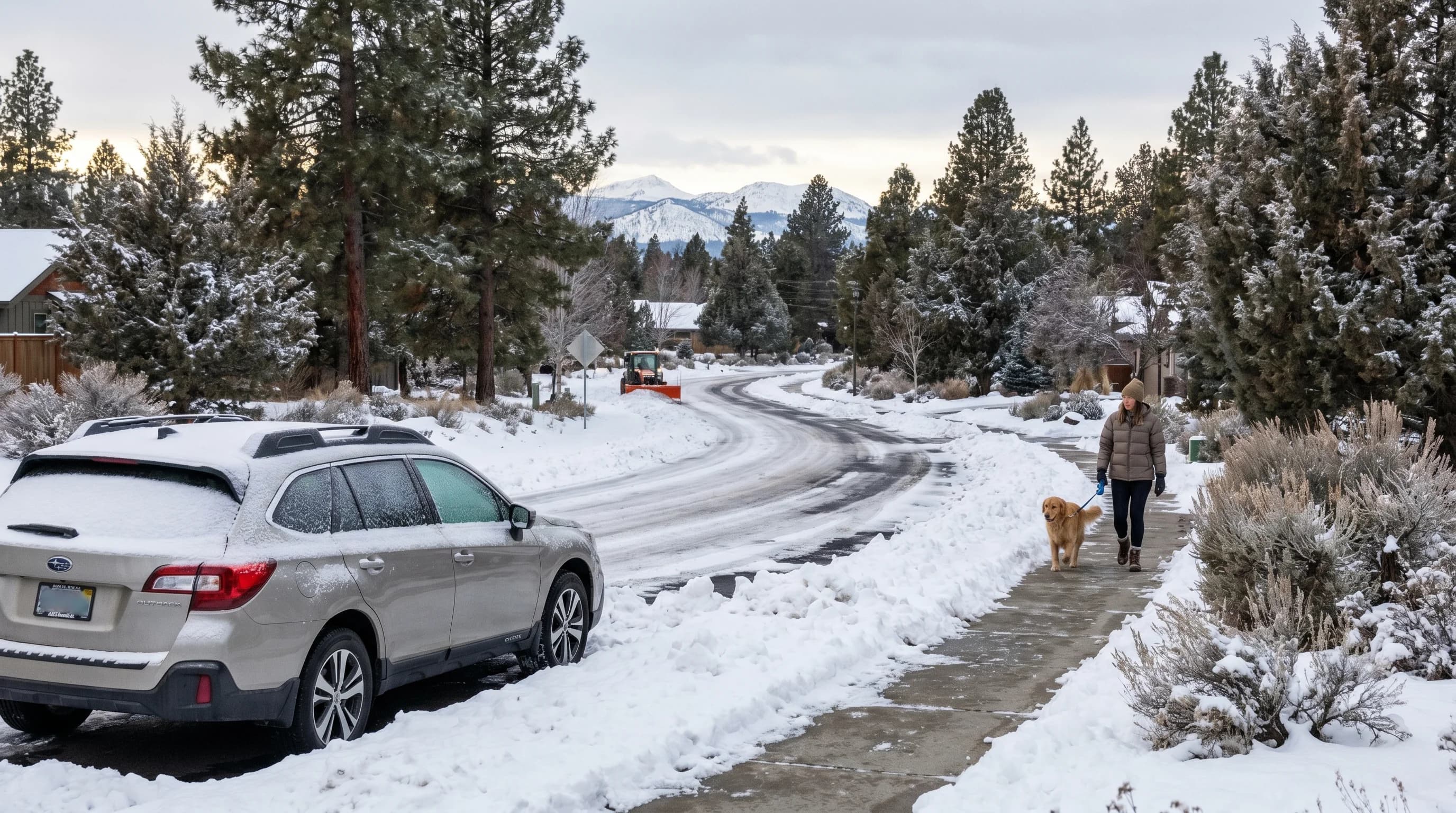
Yes, Bend gets a real high-desert winter: about 2 feet of snow a year, snow on the ground November to March, and ice as the main daily hazard. Snow level decides rain versus snow.
6 min read →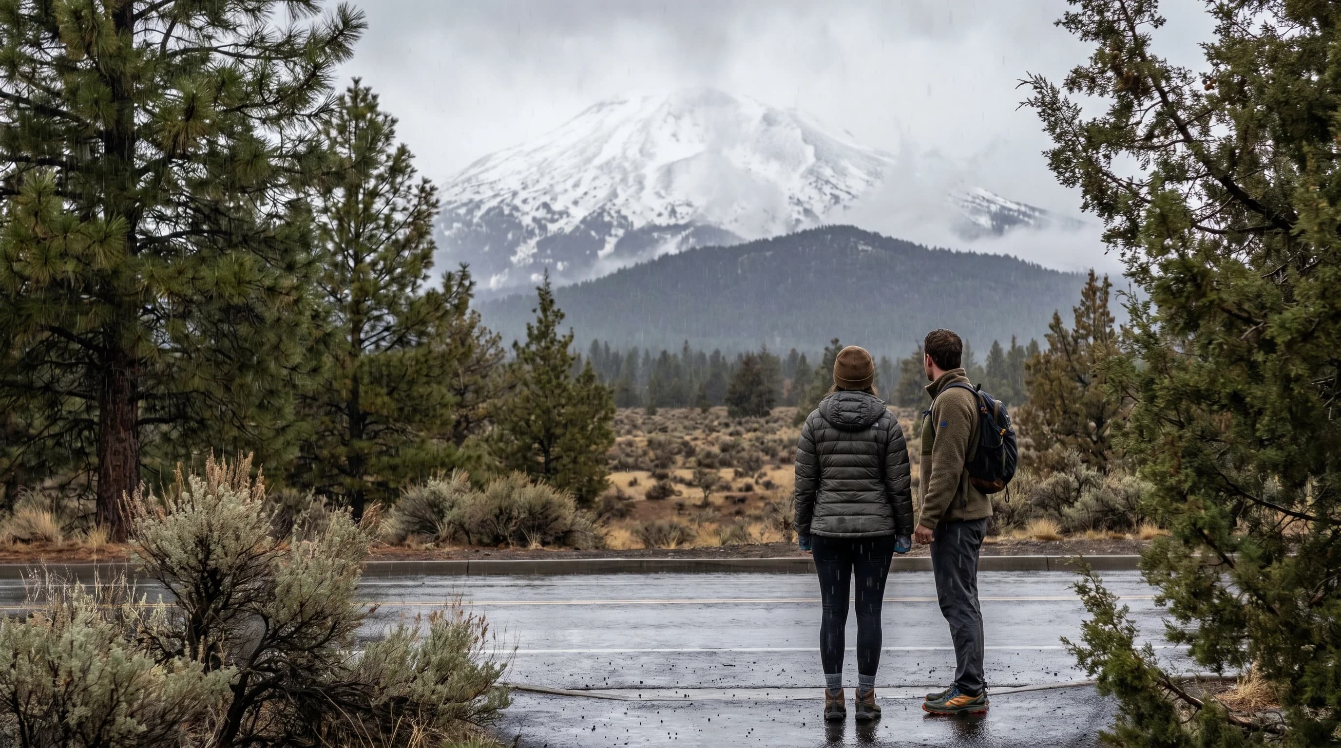
The snow level often sits between Bend (3,600 ft) and Mt. Bachelor (up to 9,068 ft), so one storm rains in town and snows on the mountain just 22 miles away.
6 min read →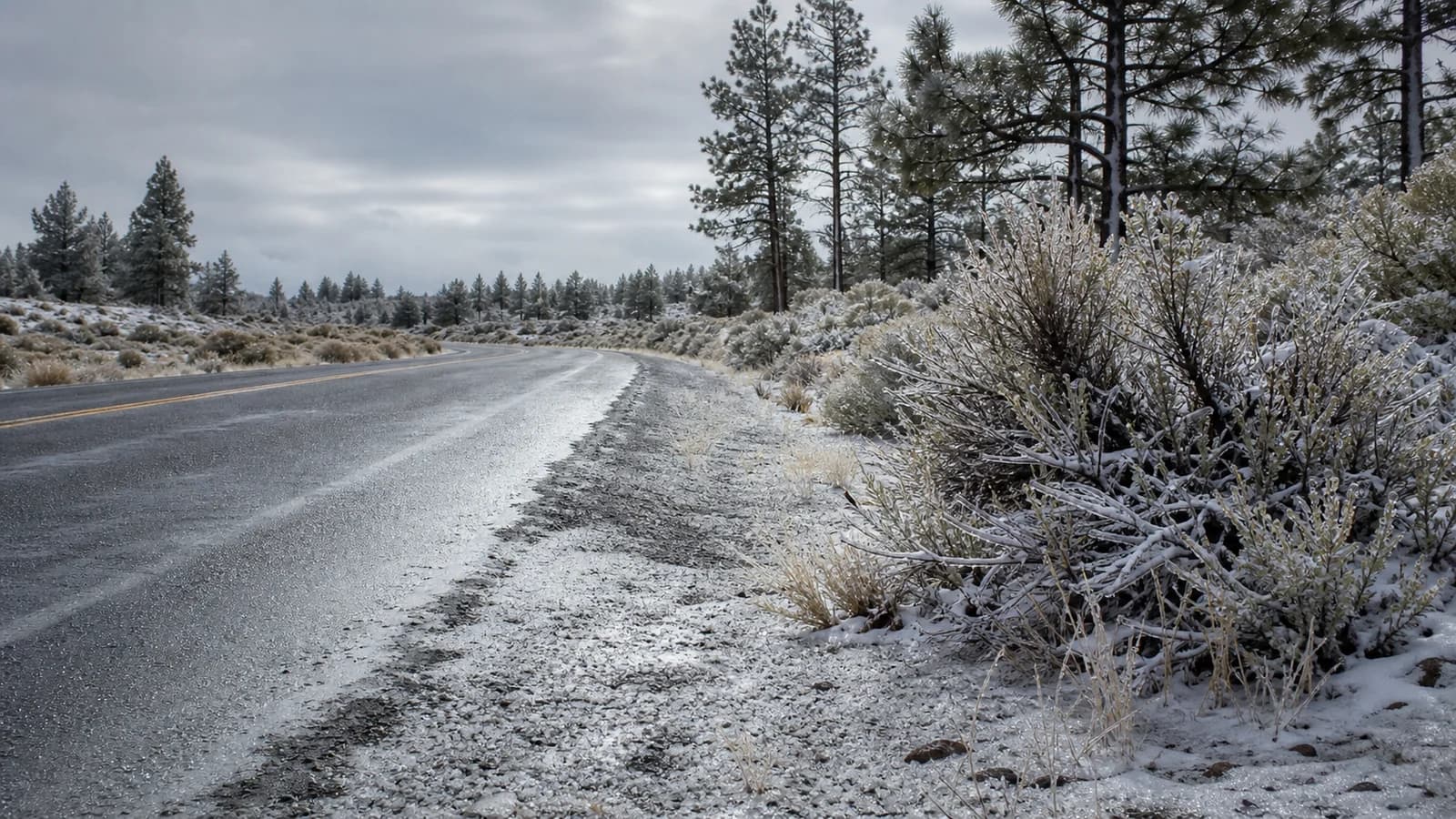
A winter forecast near freezing can mean snow, sleet, freezing rain, or a dangerous mix. The difference comes from temperature layers between cloud and road.
7 min read →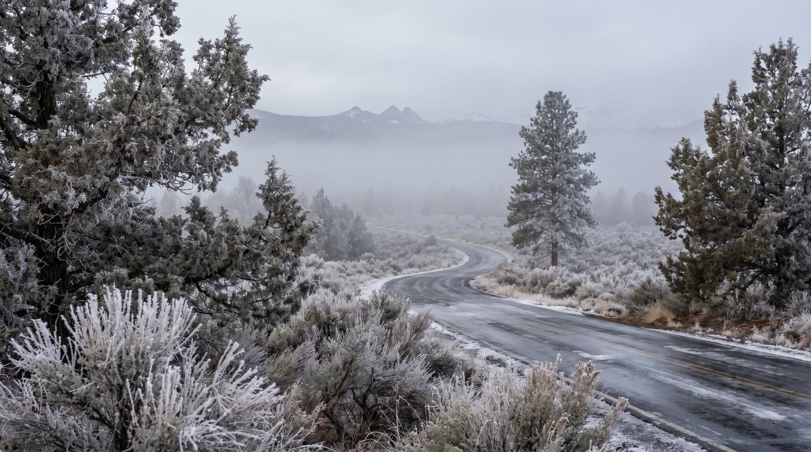
Freezing fog is Central Oregon’s most underrated winter hazard: supercooled droplets that freeze on contact, glazing roads with invisible ice on dry-looking mornings. Here is why it happens and how to stay safe.
6 min read →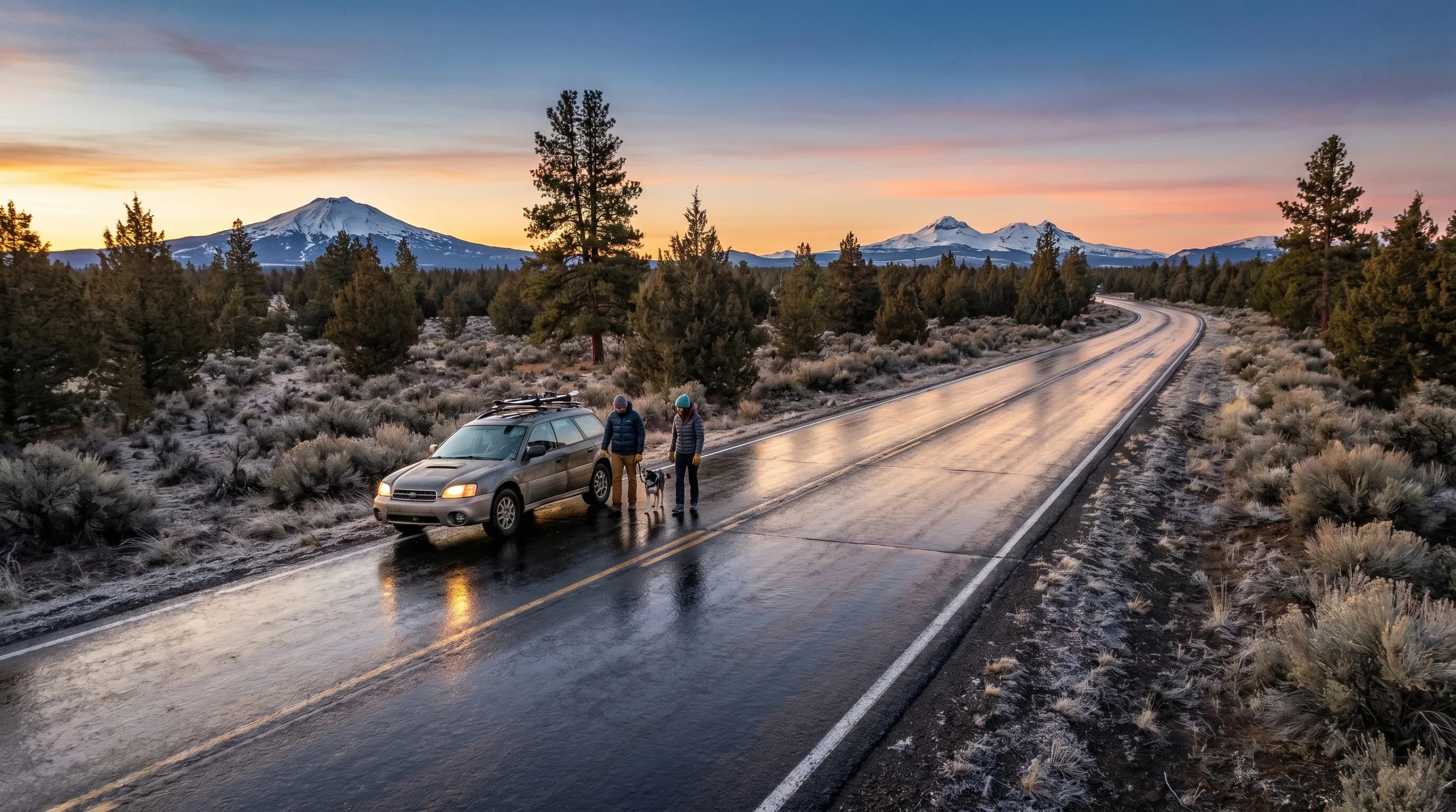
Black ice is a clear, thin glaze that looks like wet pavement, which is what makes it so dangerous. It forms overnight and on bridges, and it is a top winter hazard in Central Oregon.
6 min read →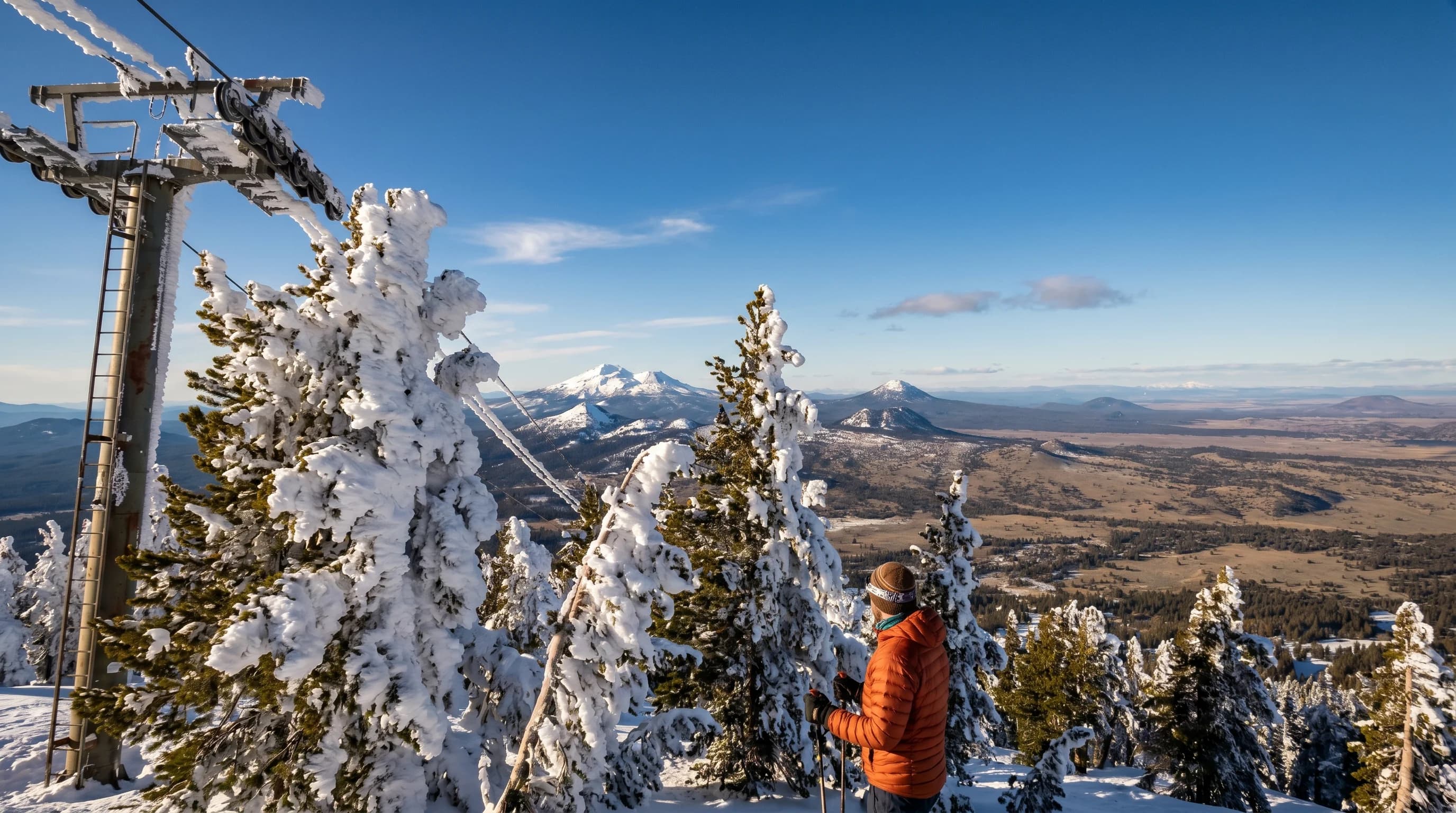
Rime ice is the rough white coating that builds into the wind during freezing fog, from supercooled droplets freezing on contact. It is a Cascades and high-desert winter signature.
6 min read →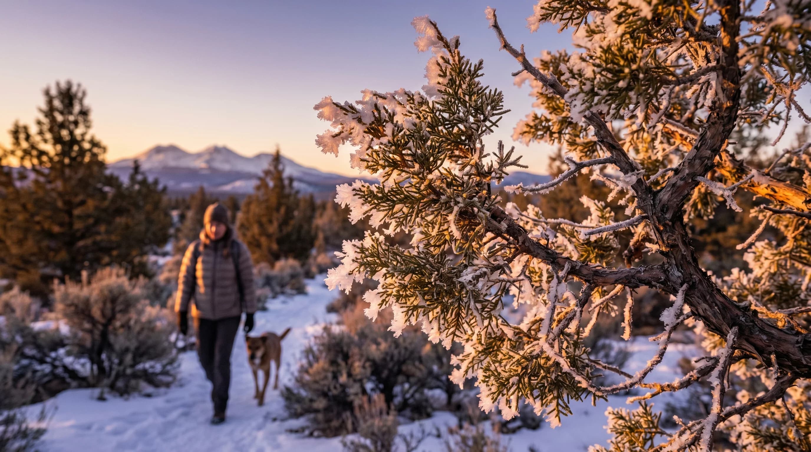
Hoar frost is the feathery white ice on grass and branches on cold clear mornings, formed when water vapor freezes directly onto chilled surfaces. It is common in the high desert.
6 min read →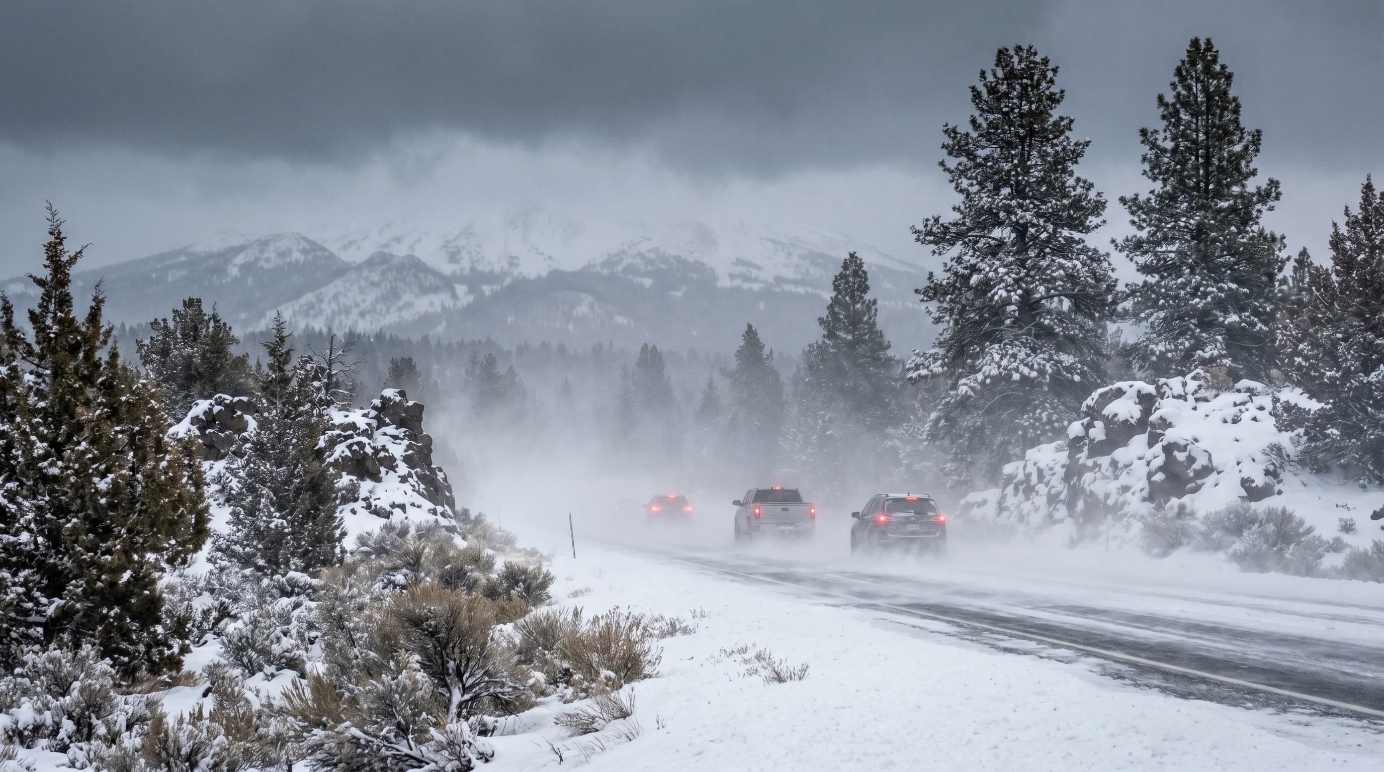
A snow squall is a short, violent burst of heavy snow and wind that can whiteout a clear highway in minutes. It drops little snow but causes deadly pileups, especially on Cascade passes.
6 min read →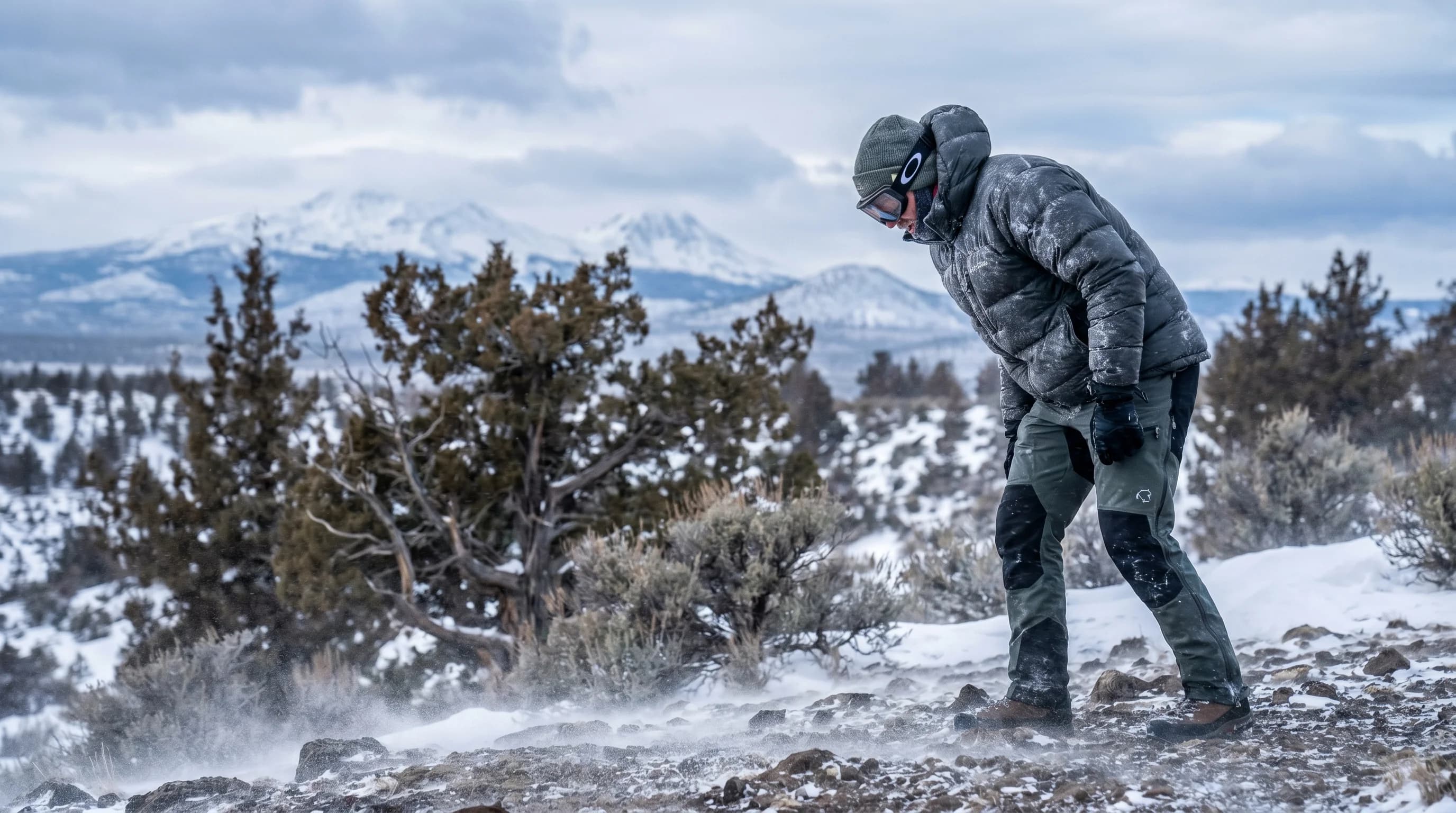
Wind chill is the feels-like temperature once wind is factored in. Wind speeds up heat loss from your skin, which matters most on exposed Cascade ridges and the open high desert.
6 min read →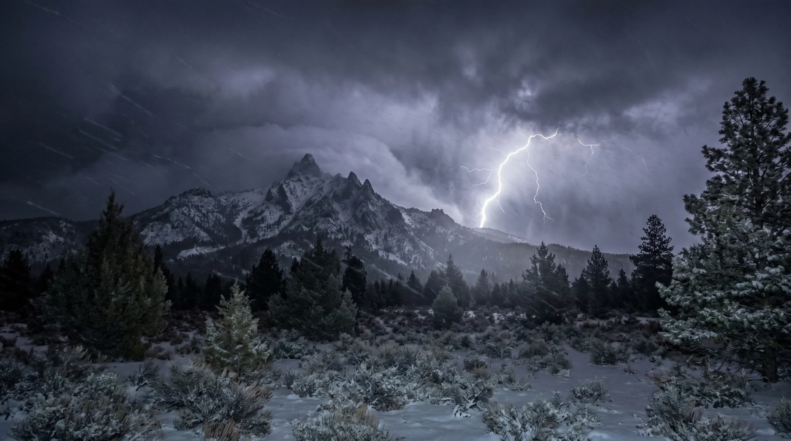
Thundersnow is thunder and lightning inside a snowstorm, the same electricity as a summer storm but with snow. It is rare, comes in heavy bursts, and can hit the Cascades in strong winter storms.
7 min read →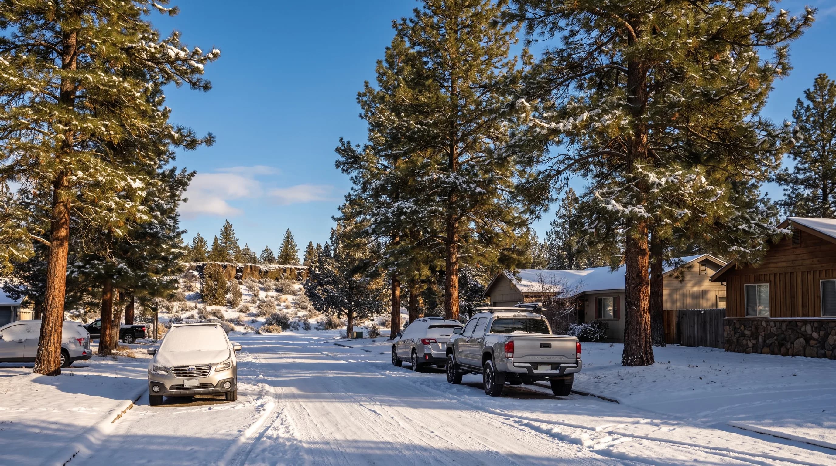
Oregon's snow follows two lines: the Cascade crest and elevation. Portland averages about 4 inches a year, Bend about 22 and Crater Lake about 463.
9 min read →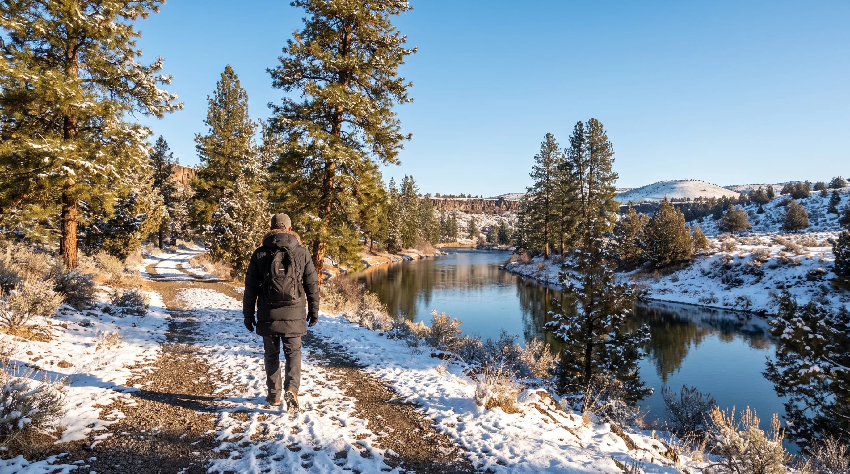
A Bend winter swings among three kinds of days: fresh-snow days, bright cold days and gray inversion days. Here is how often each comes and what to do.
9 min read →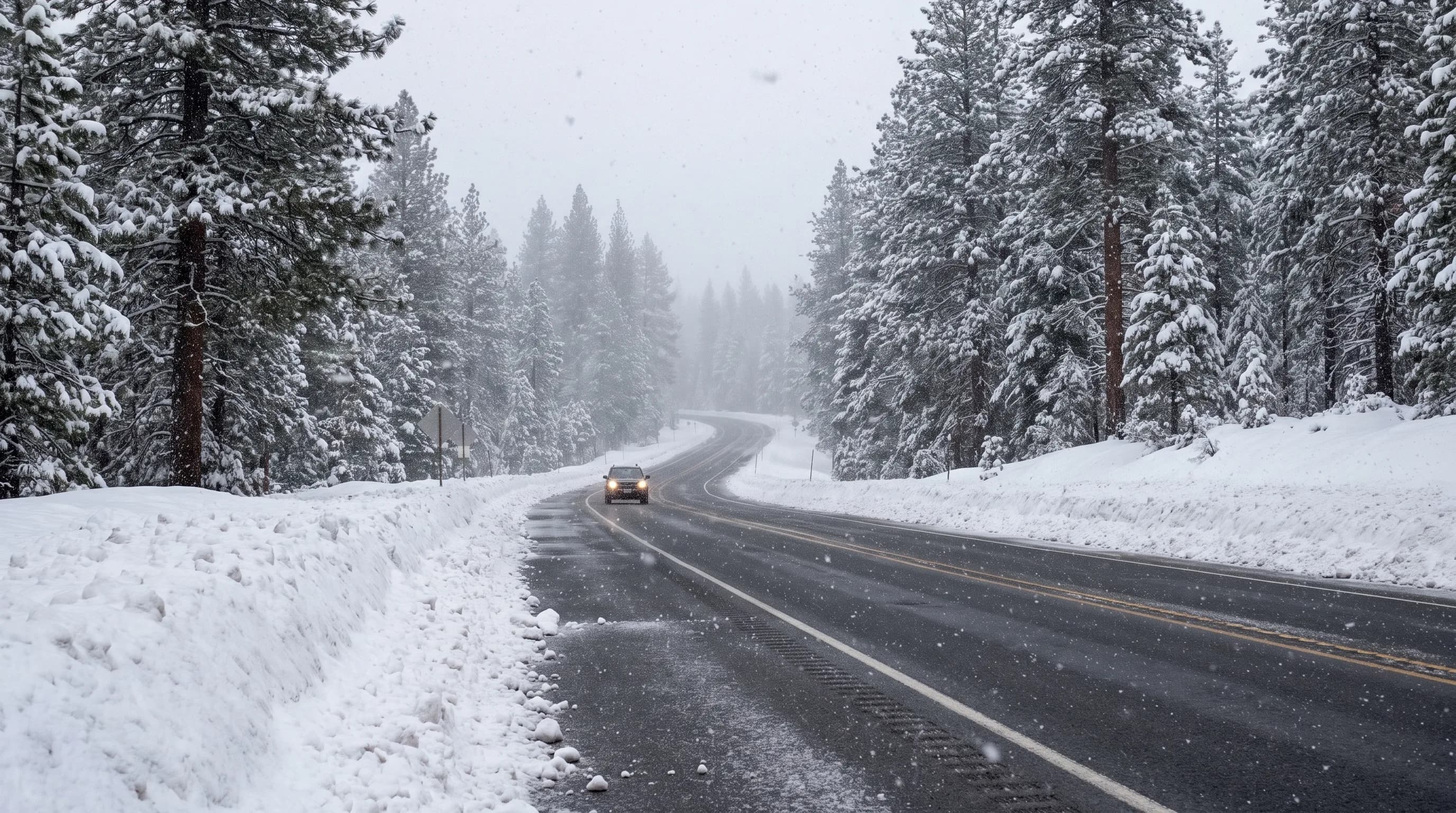
Santiam and Willamette passes stay open all winter in the Cascade snow belt, while McKenzie Pass and the upper Cascade Lakes Highway close until late spring.
9 min read →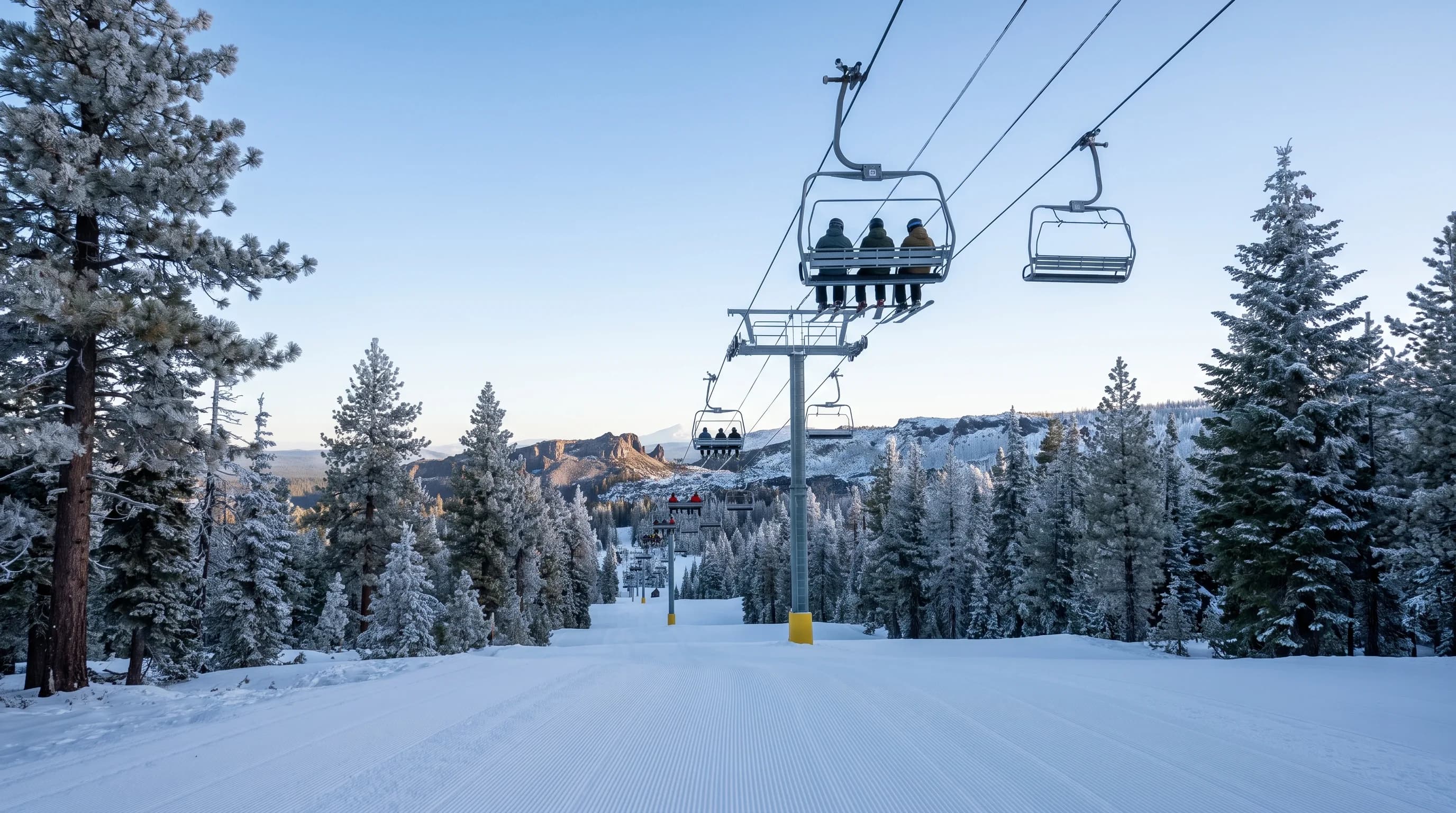
Mt. Bachelor opens when the snow says so: in most recent seasons, opening day came within two days of a nearby sensor first measuring two feet of snow.
9 min read →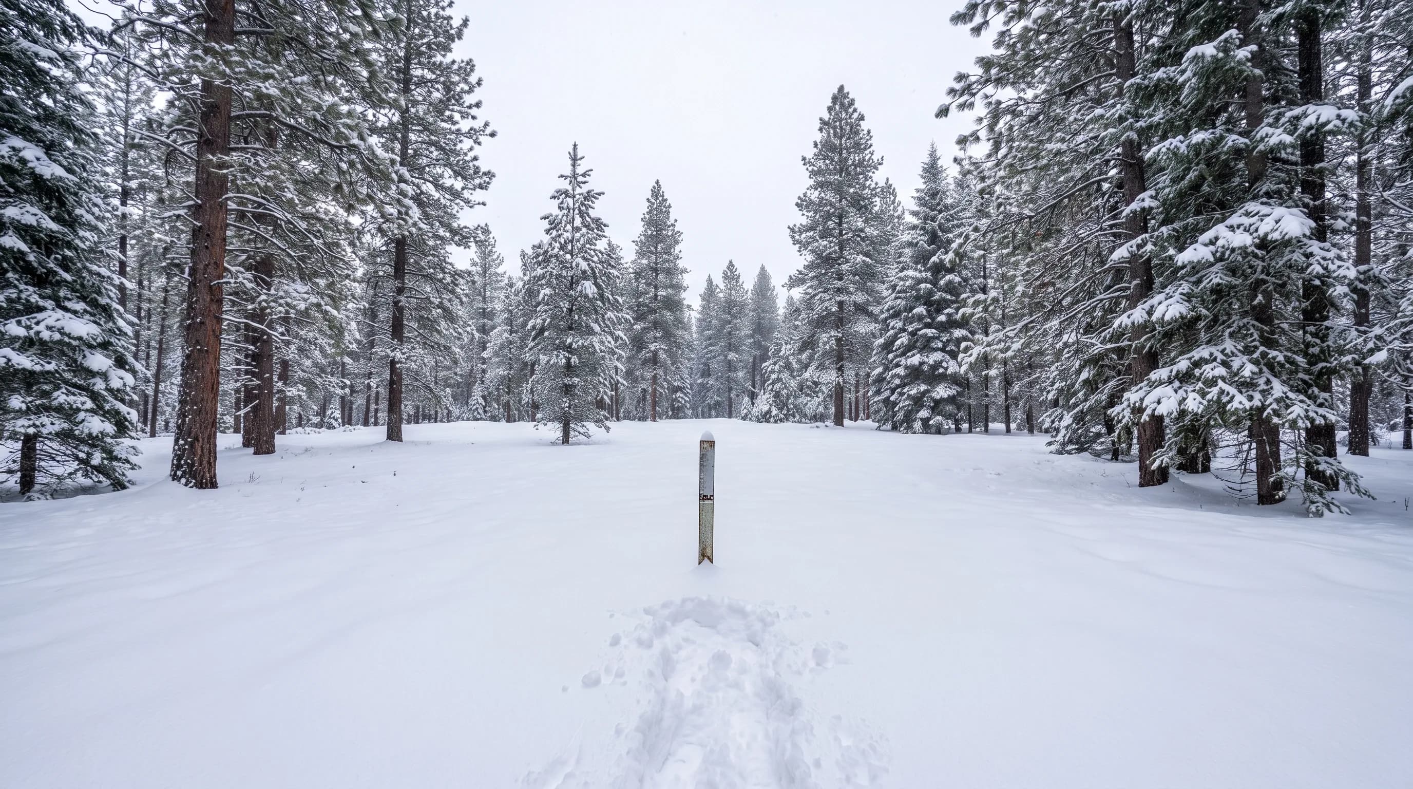
Snow depth tells skiers what they will ride; snow water equivalent tells everyone else how much water the Cascades are holding for the Deschutes and summer.
9 min read →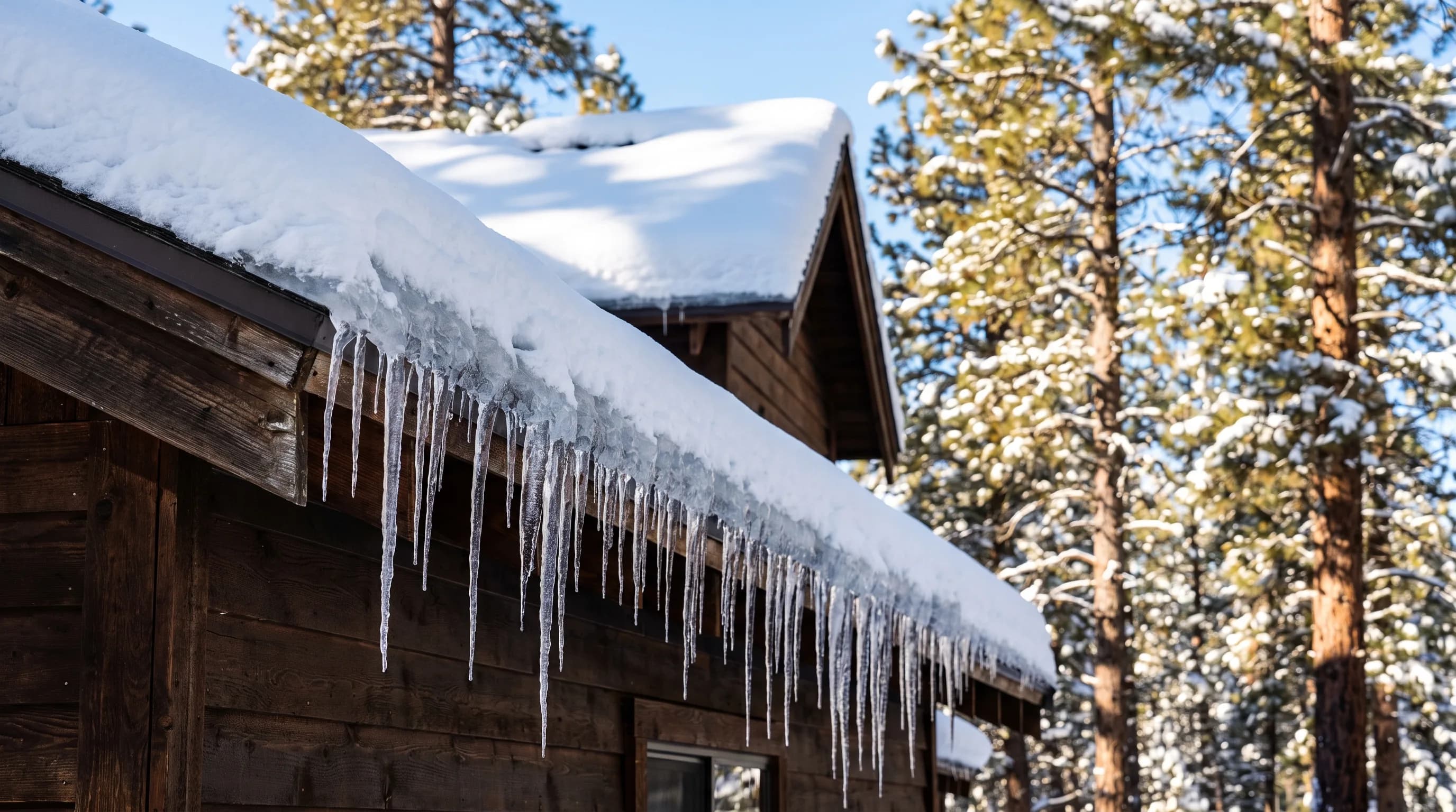
Ice dams come from heat and cold meeting on the same roof, and Central Oregon's snowy, sunny winters with hard night freezes run that cycle often.
9 min read →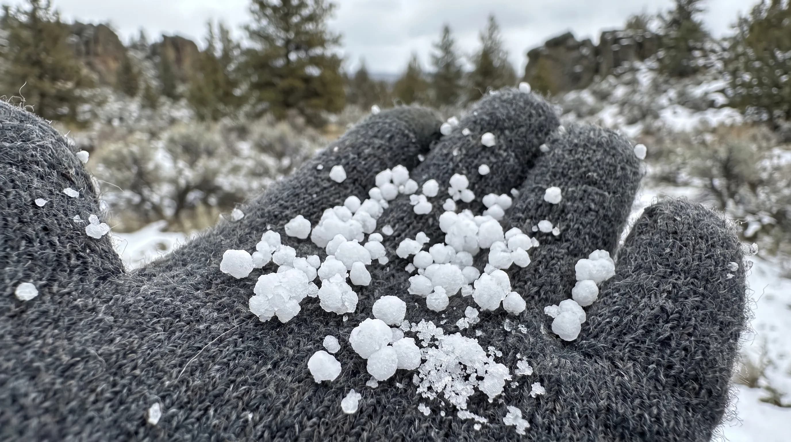
Graupel is a snowflake caught in a cloud full of supercooled water: soft, white pellets that bounce off cars in a Bend spring squall and crumble in your hand.
9 min read →Category
Wildfire smoke, PM2.5, AQI, red flag warnings, wind shifts, and why the sun and moon change color during smoky stretches.
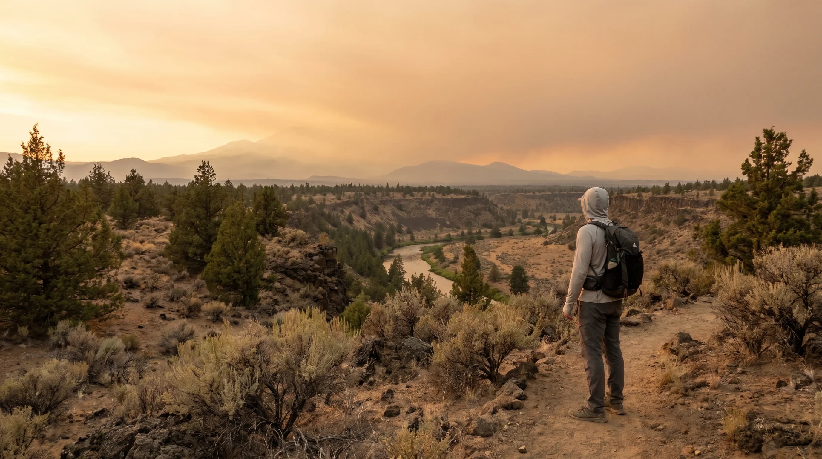
Central Oregon’s smoke season runs July through September, peaking in August. Most of Bend’s smoke drifts in on the wind from distant Western fires, so wind direction decides clear skies or haze.
6 min read →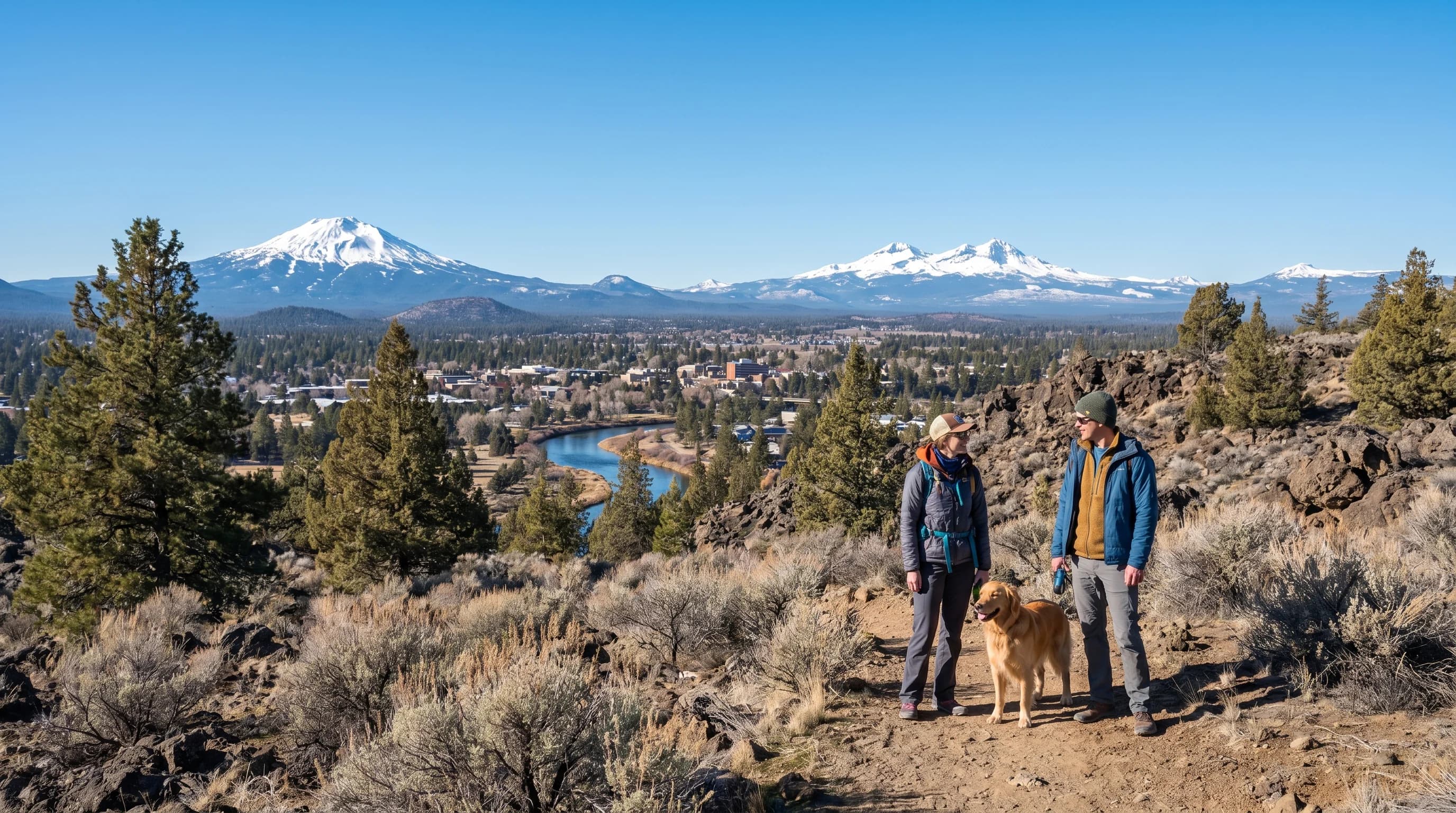
Bend’s air is excellent most of the year but can drop to hazardous from summer wildfire smoke or trapped winter wood smoke. Both come down to the weather, and wind and fronts are what clear it.
6 min read →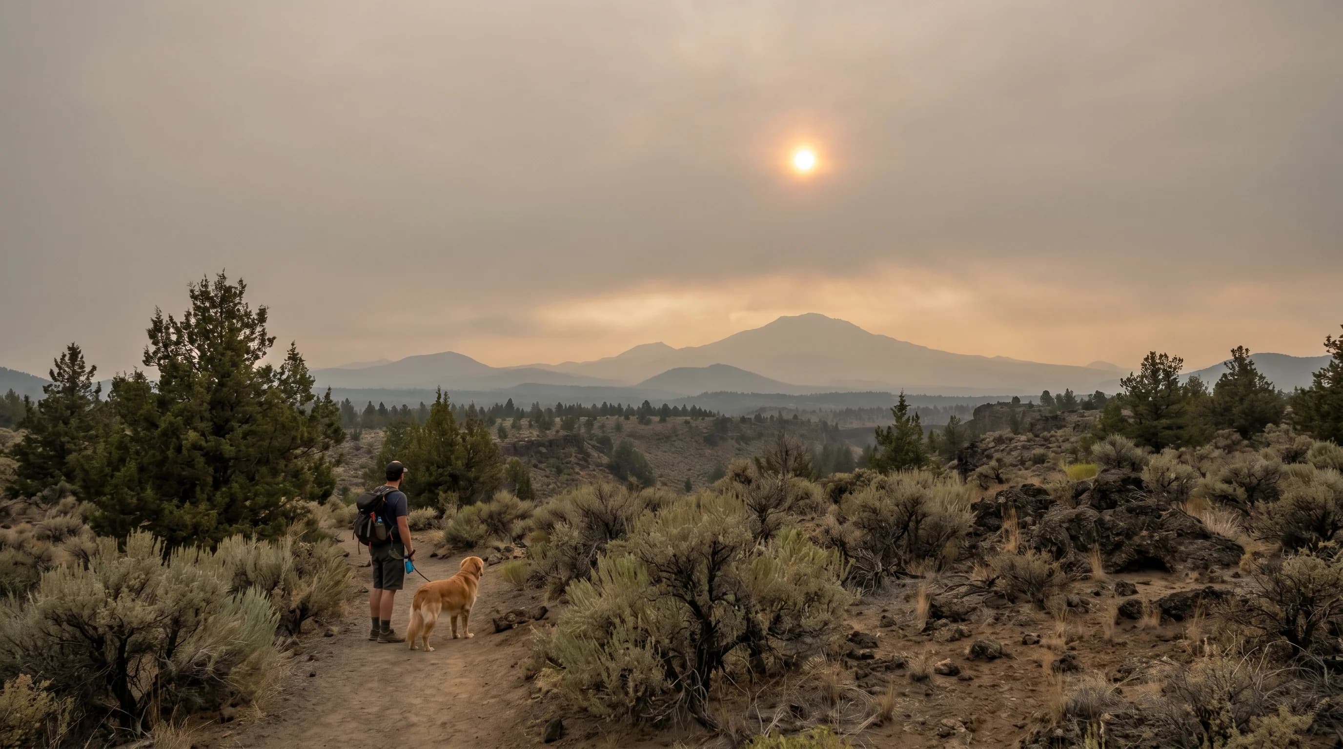
Bad air today usually means wildfire smoke, a trapped winter inversion, or stagnant ozone. Here is how to tell which, read the AQI, and know when it will clear.
6 min read →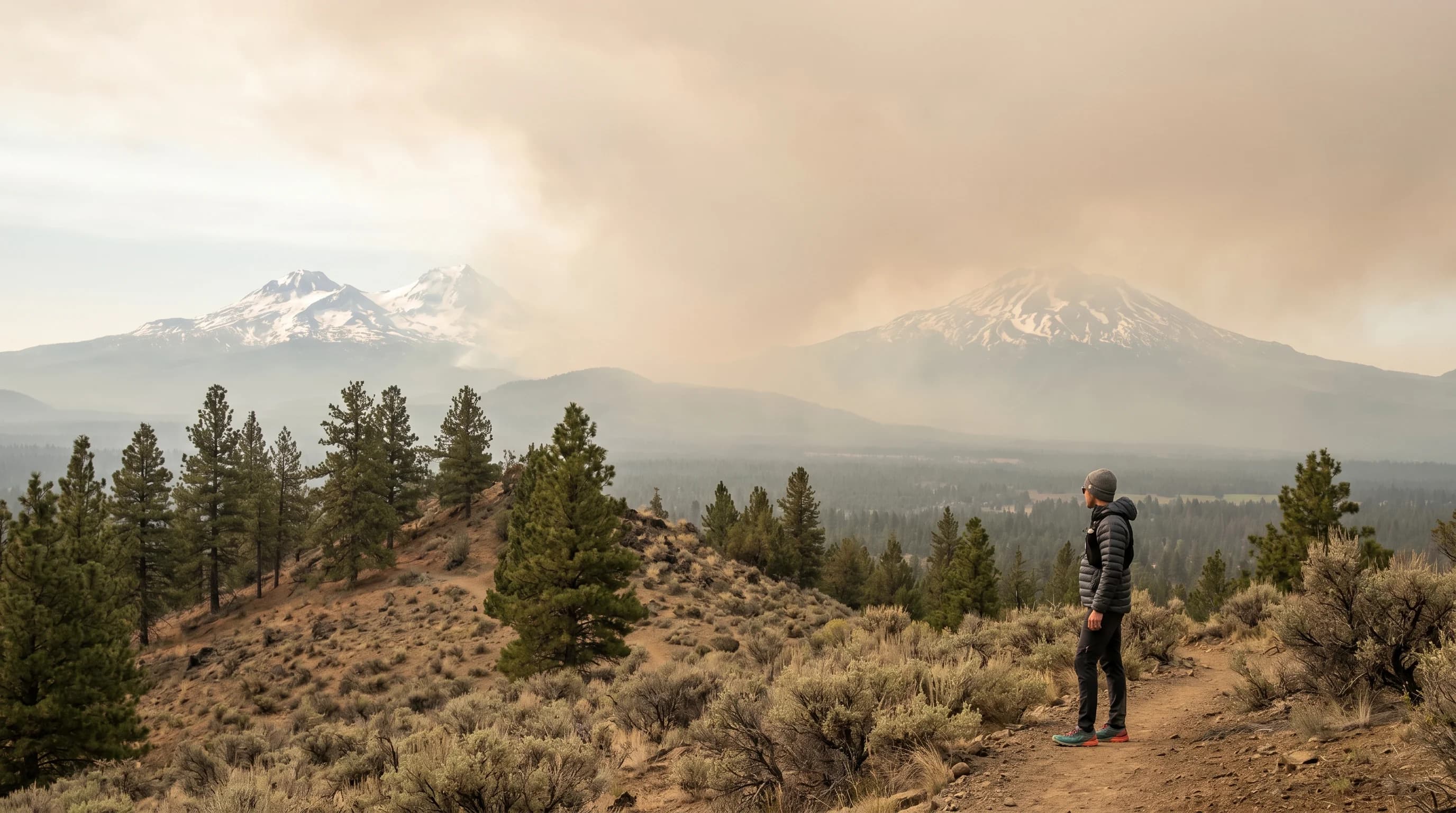
PM2.5 is fine particle pollution under 2.5 microns, small enough to reach deep into the lungs and bloodstream. It is the main health threat in wildfire smoke and the basis of the AQI.
7 min read →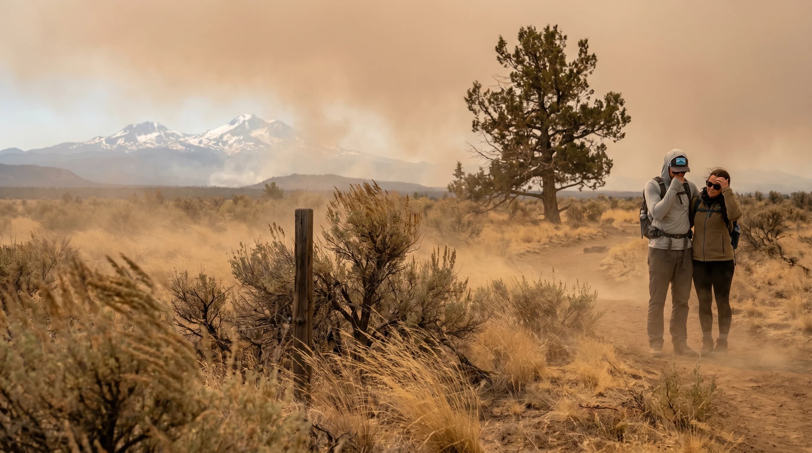
A Red Flag Warning means critical fire weather, low humidity, strong wind, and dry fuels, is occurring or imminent. Here is what it means, how it differs from a Fire Weather Watch, and what to do.
6 min read →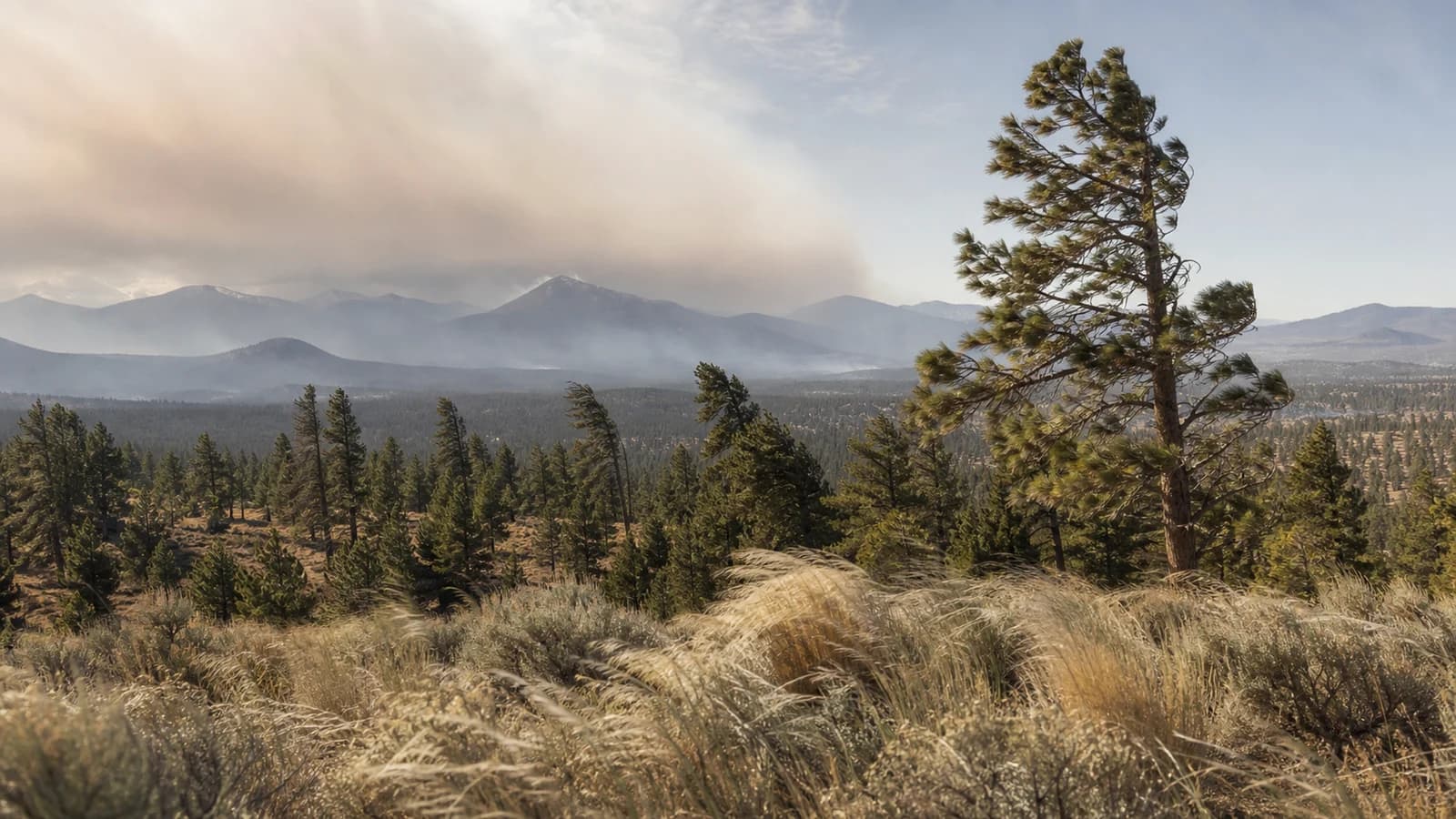
Wind direction is a major Central Oregon forecast signal. West wind often links Bend to the Cascades, while east wind can bring drier air and sharper fire-weather concerns.
6 min read →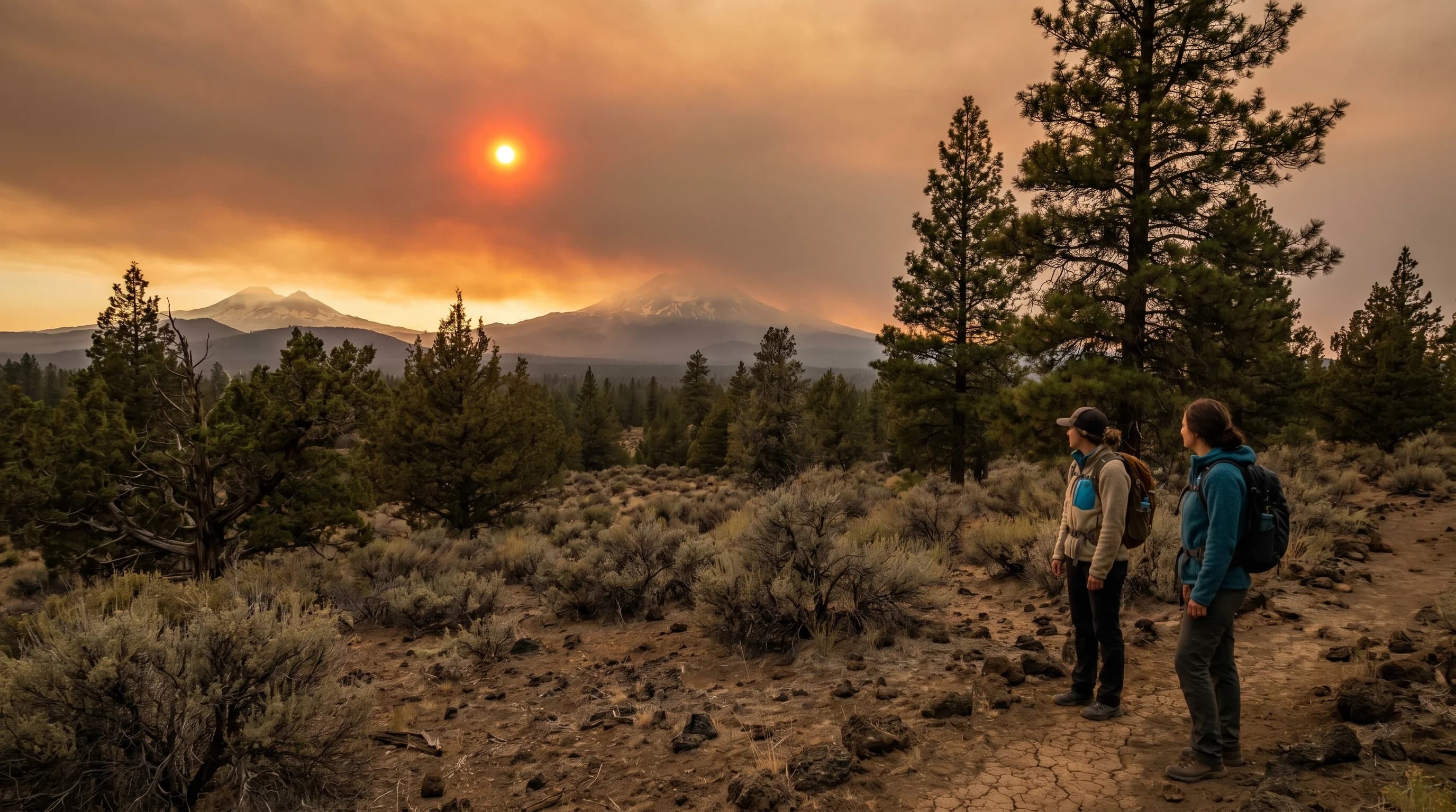
A red sun comes from light scattering. A red sun low at sunset is normal; a red sun high in the daytime sky signals wildfire smoke, and usually unhealthy air in Central Oregon.
6 min read →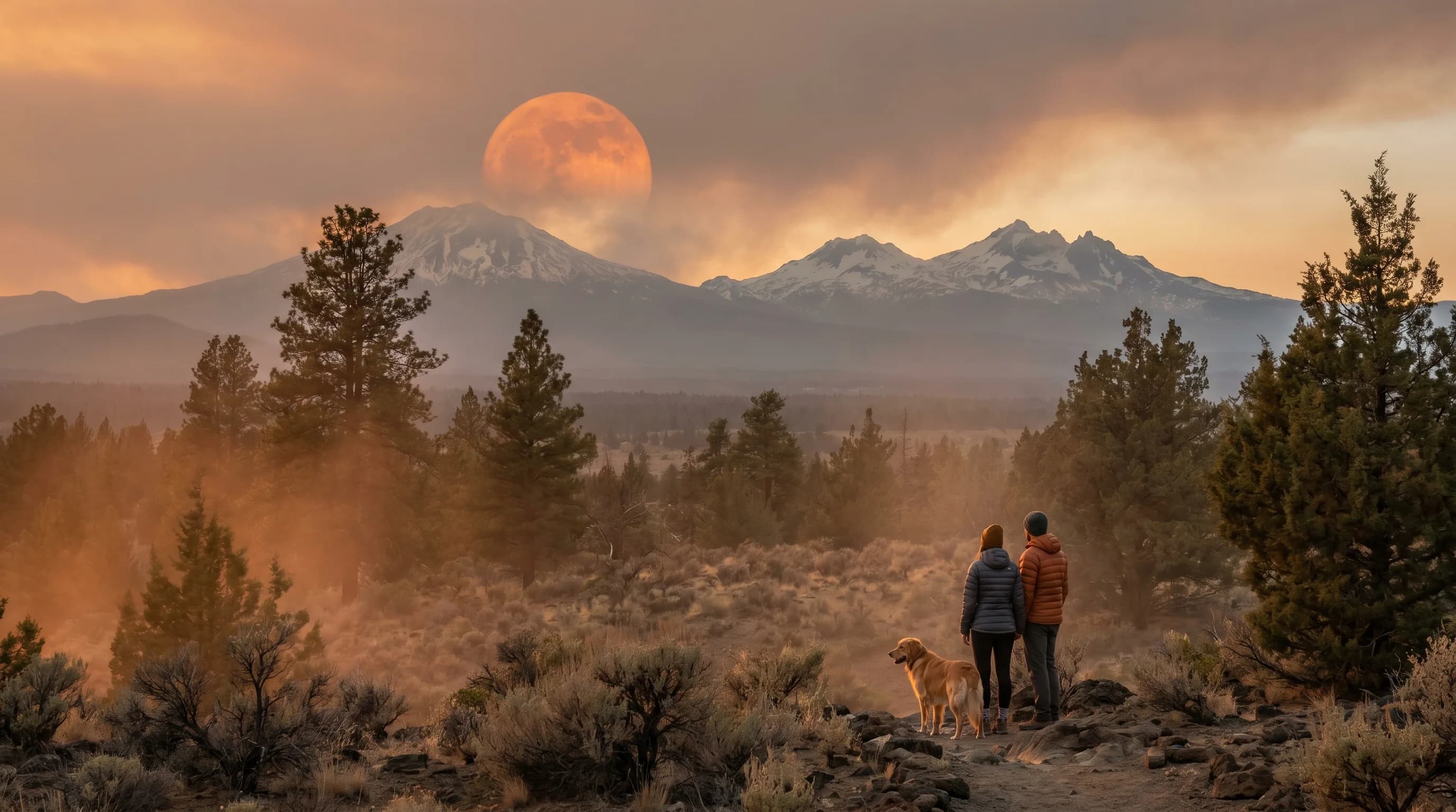
An orange moon comes from light scattering: a low moon at moonrise, or wildfire smoke that scatters away blue light. In Central Oregon a deep orange high moon usually means smoke.
6 min read →Category
The Cascade rain shadow, sunshine, rainfall, inversions, afternoon wind, UV, virga, and other mechanics behind the high desert forecast.
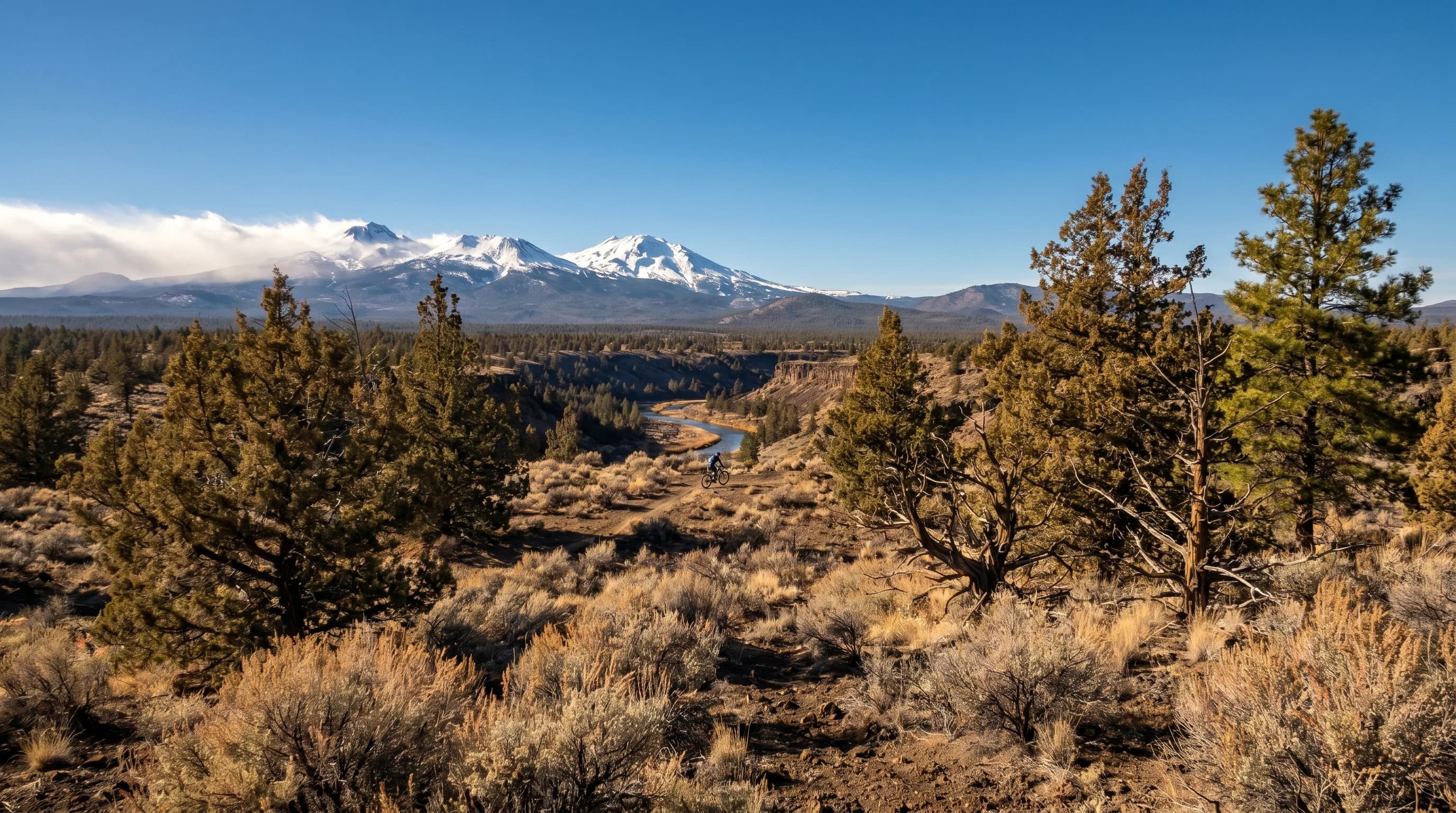
Bend is one of the sunniest places in Oregon. It gets roughly twice the sunny days of Portland and a fraction of the rain, because the Cascades hold the gray on the west side.
7 min read →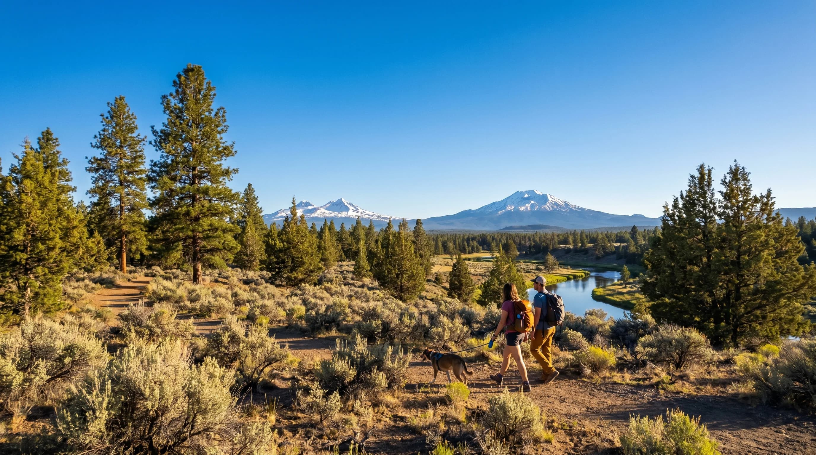
Bend sees close to 300 days a year with sun, one of the sunniest records in Oregon, thanks to the Cascade rain shadow. Here is what the number means and how it compares to Portland.
6 min read →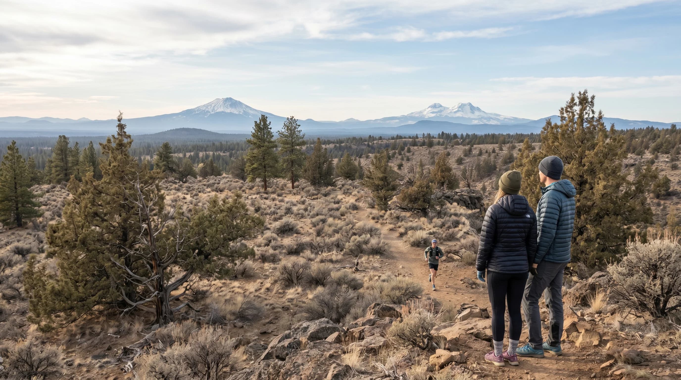
Bend gets only about 11 to 12 inches of precipitation a year, a fraction of western Oregon, because the Cascade rain shadow wrings out Pacific storms before they reach the high desert.
6 min read →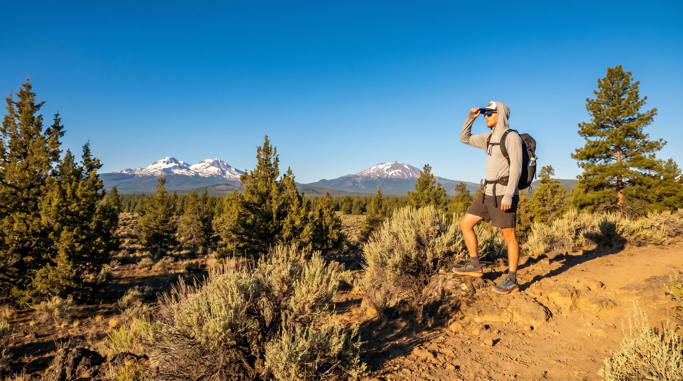
Bend’s elevation and clear, dry air push the UV index high, so sunburn happens fast even on cool days. Snow adds reflected UV in winter, making sun protection a year-round habit.
6 min read →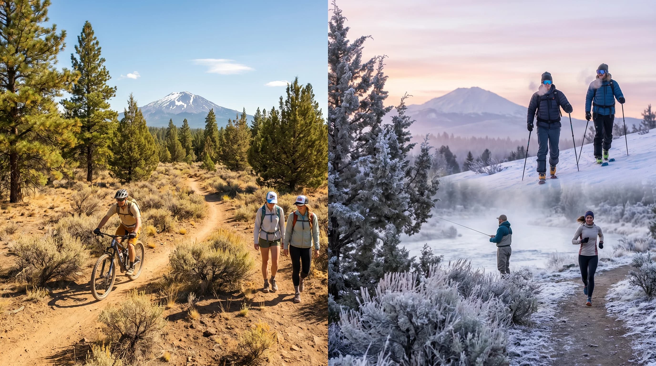
Central Oregon swings 30 to 40 degrees between a warm afternoon and a cold dawn. High elevation, dry air, and clear skies let the ground heat fast by day and shed it just as fast at night.
6 min read →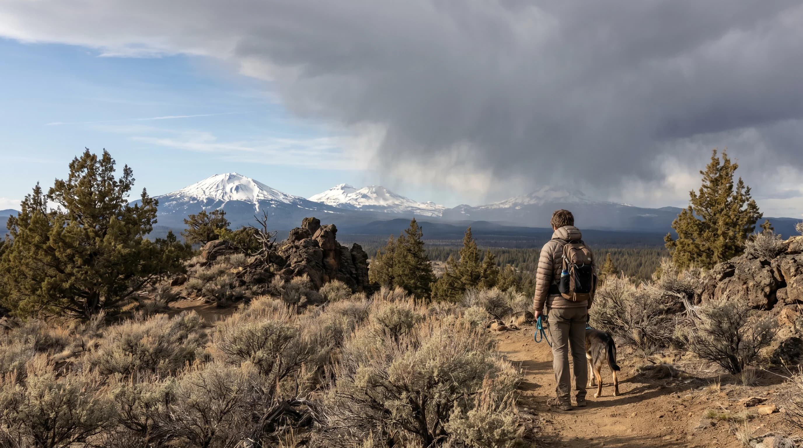
The Oregon Cascades rain shadow is the master key to high-desert weather: moist Pacific air rains out on the west slopes, and the dry, descending air leaves Central Oregon sunny and arid.
6 min read →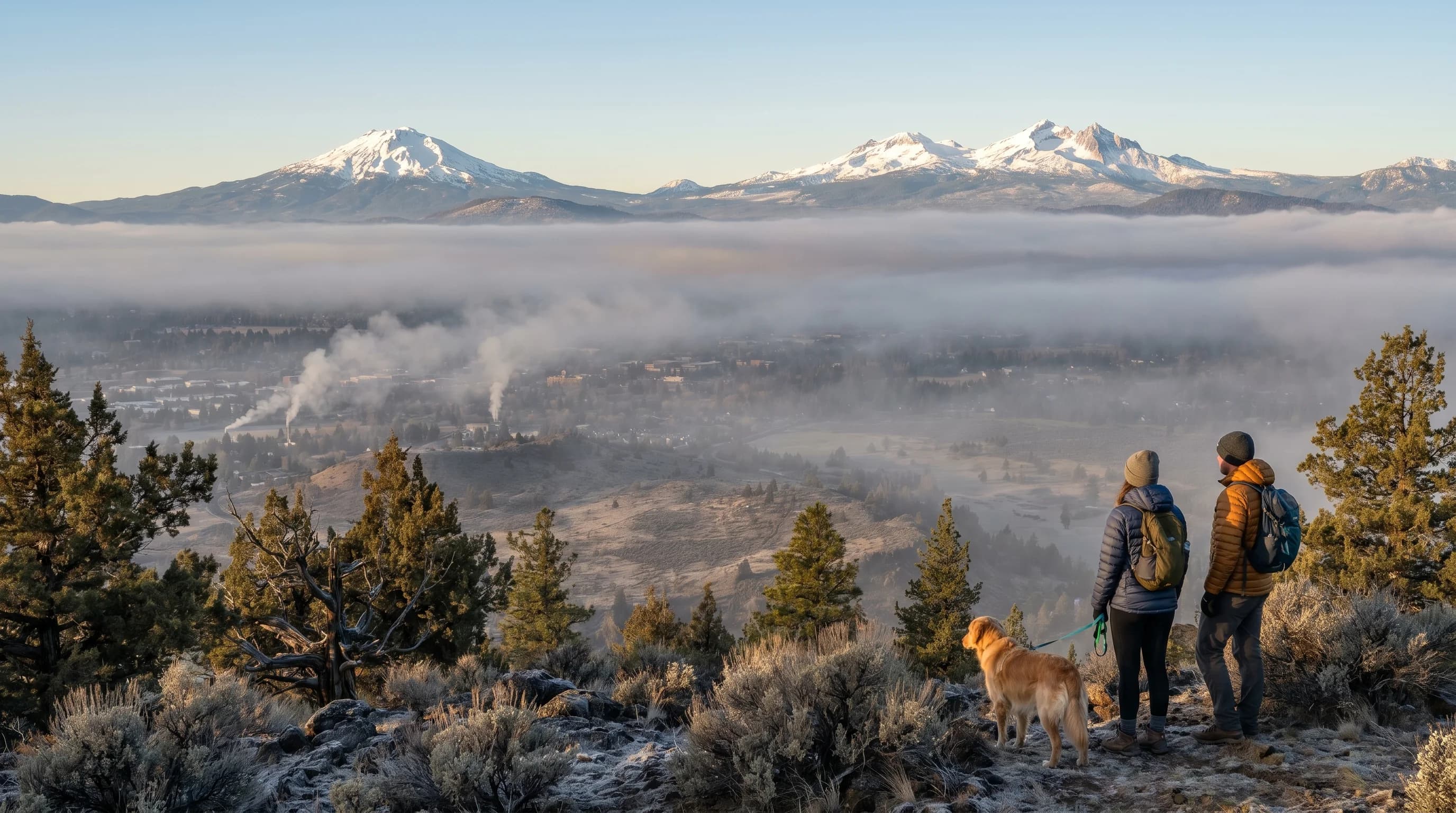
Inversions trap cold air, freezing fog, and smoke in the Deschutes Basin under a warm lid, sometimes for days. Here is how they form on calm, clear nights and what finally breaks them.
6 min read →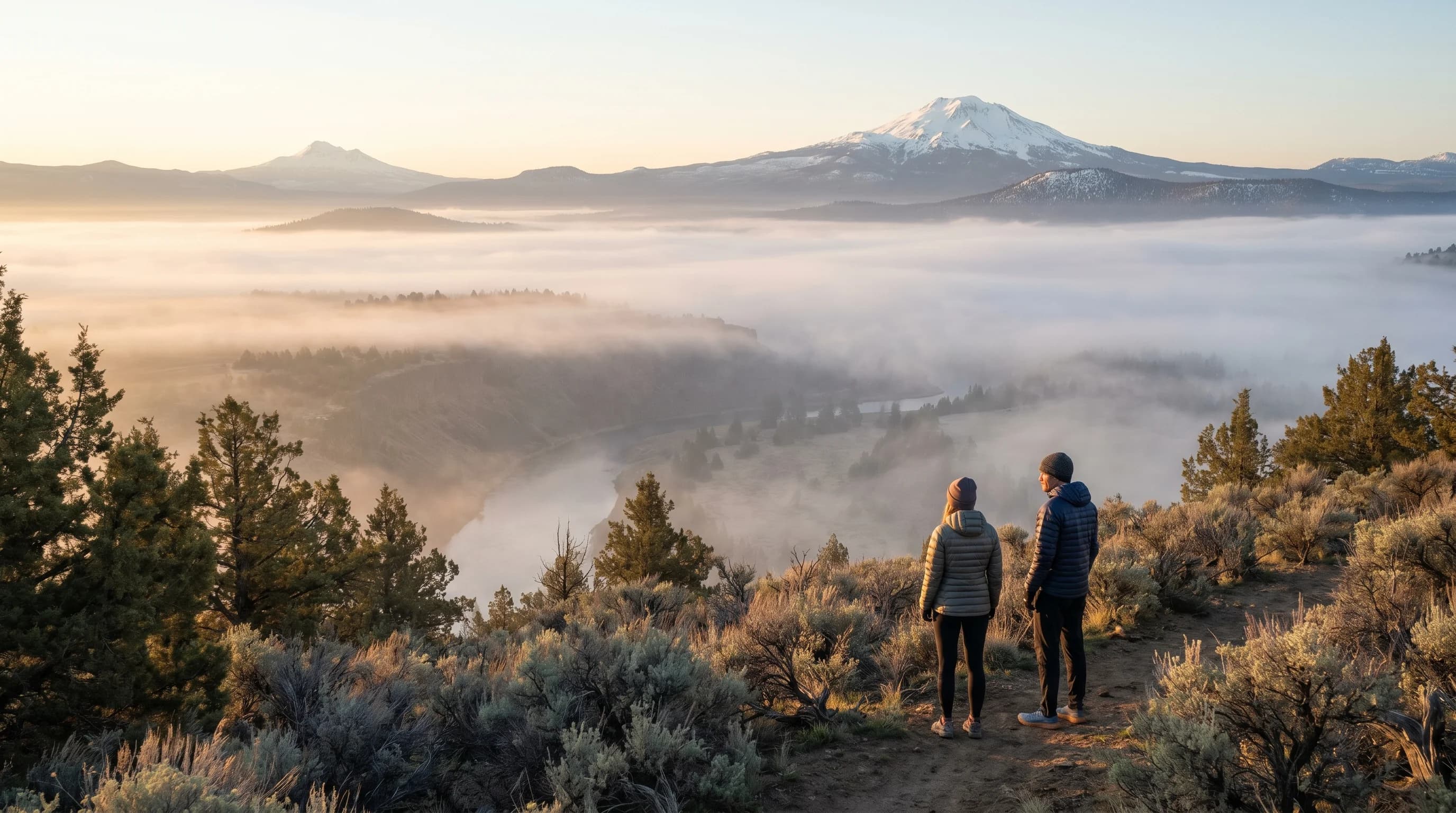
A temperature inversion flips the normal pattern: a warm layer sits above cooler air and caps it, trapping cold, fog, and pollution near the ground until wind or sun breaks it.
7 min read →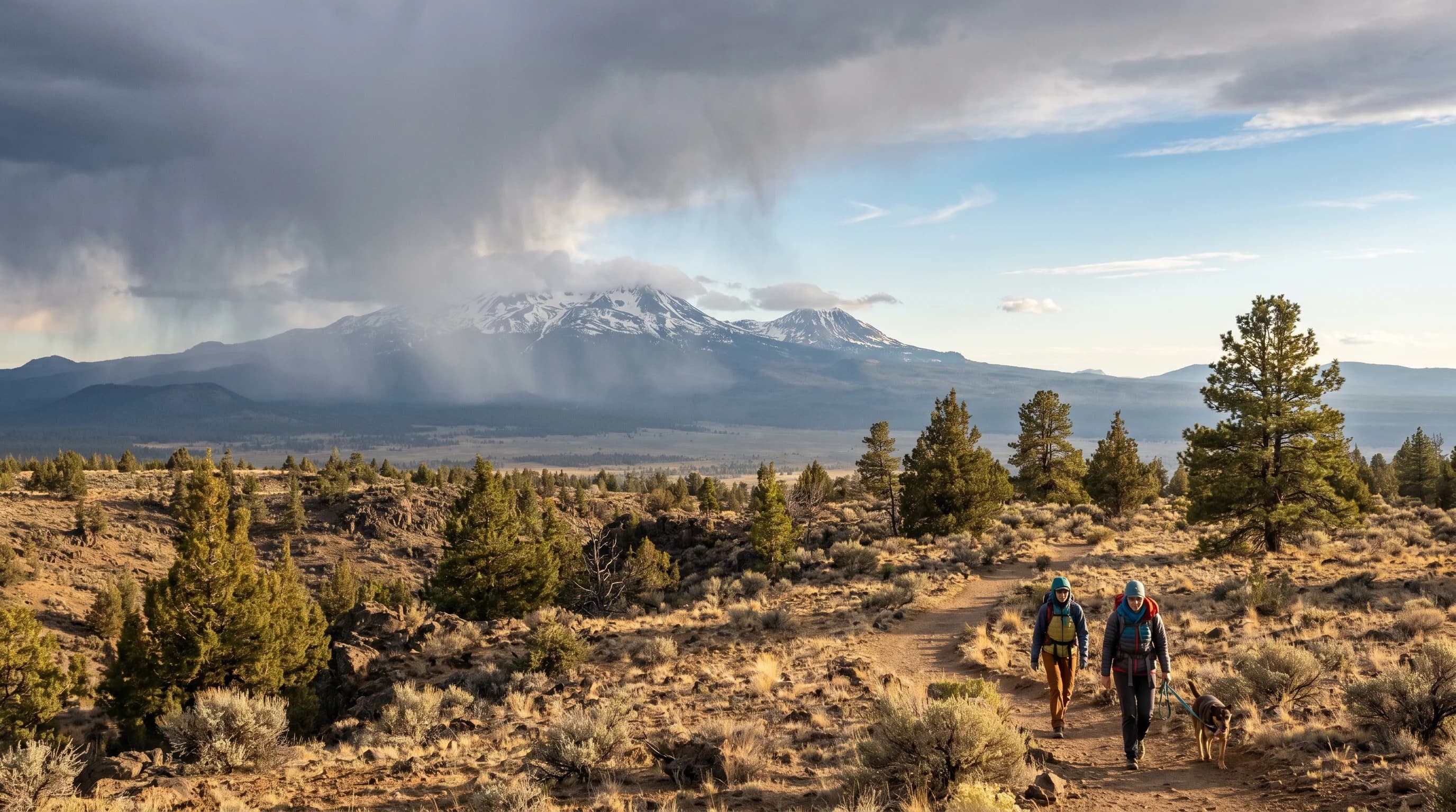
Orographic lift is the lifting of air by terrain. It rains out moisture on a mountain’s windward side and leaves a dry rain shadow behind, the reason Central Oregon is high desert.
6 min read →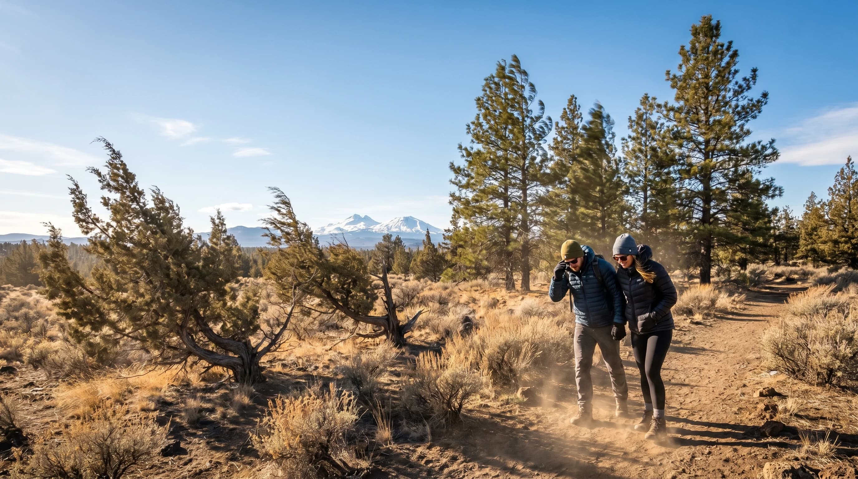
Bend’s calm mornings give way to gusty afternoons as daytime heating mixes faster winds down to the surface. Terrain and the Cascades amplify it, and spring is the windiest season.
6 min read →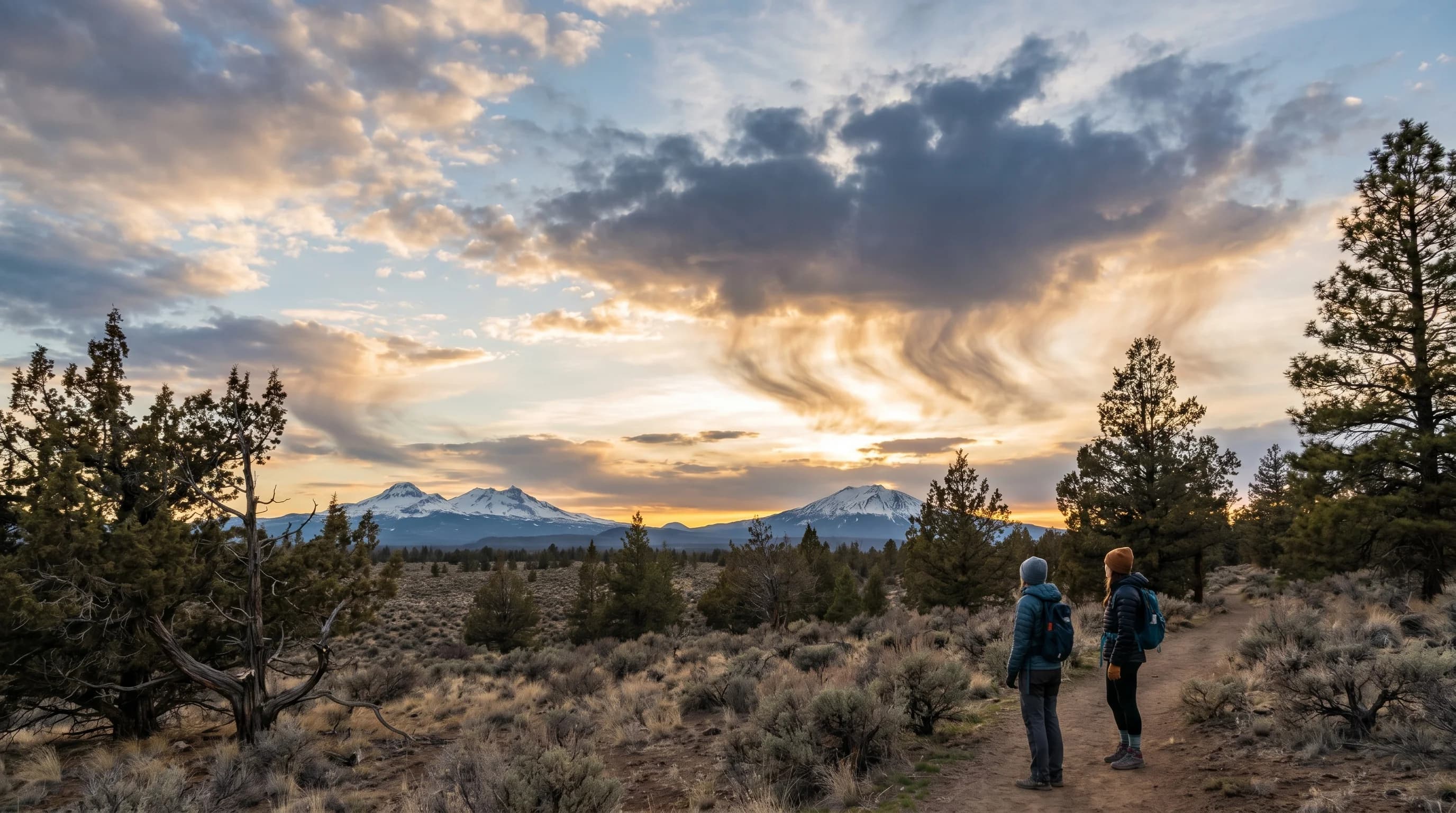
Virga is precipitation that evaporates before it lands, trailing wispy fallstreaks under a cloud. It is common over the dry high desert and can drive sudden downdrafts.
6 min read →
A heat dome is a stalled ridge of high pressure that traps hot, sinking air for days, driving record heat. The 2021 Pacific Northwest event pushed Portland to 116°F.
6 min read →
In Central Oregon, a few hundred feet changes the weather you live with. Here are the elevations of every nearby town and peak, and what each height means.
9 min read →
Oregon's extremes are a map of distance from the ocean and height above it, and three of the state's four 119°F readings came from Central Oregon.
9 min read →Category
Thunderstorms, lightning, microbursts, dry storms, hail signals, mammatus clouds, and storm patterns that affect exposed trails and lakes.
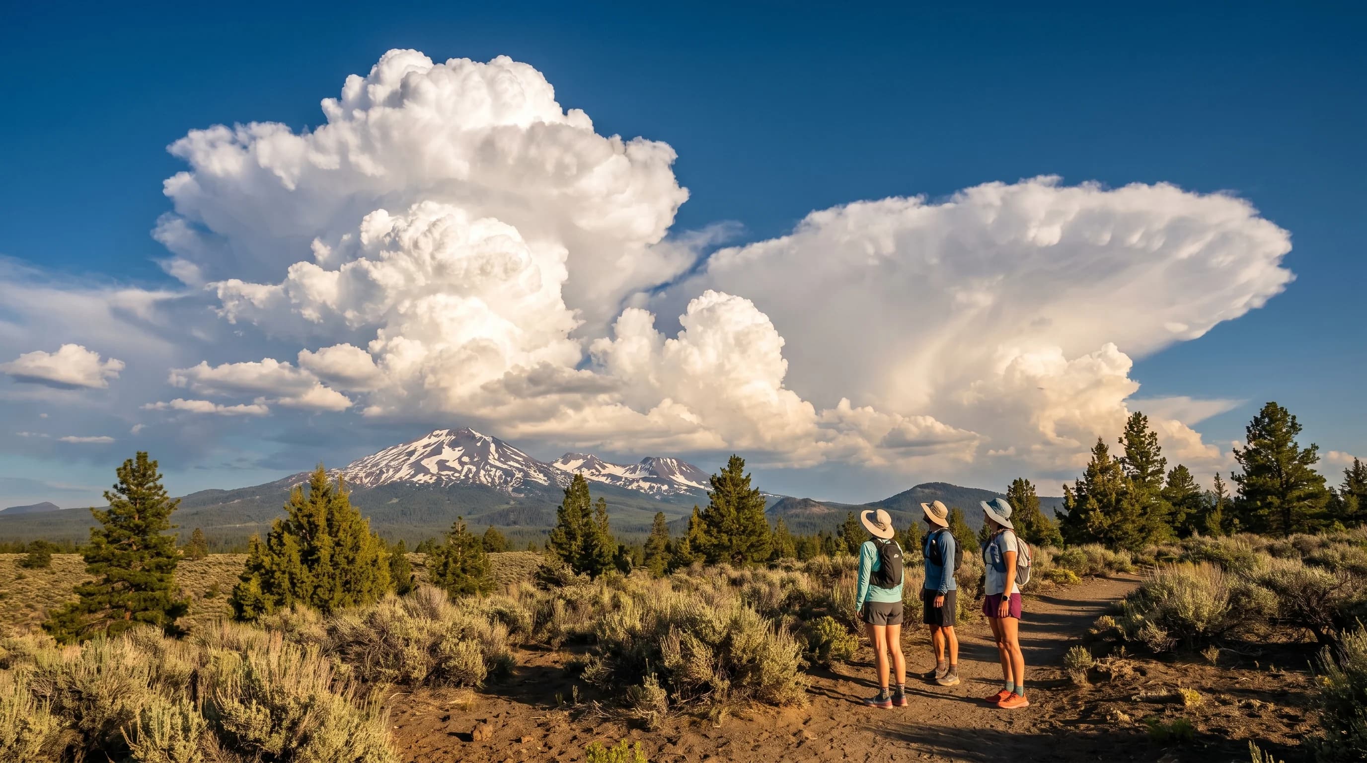
A blue Central Oregon morning can become a lightning storm by afternoon. Heating, the Cascades, and imported moisture build sudden summer thunderstorms that fire in the afternoon and fade by night.
6 min read →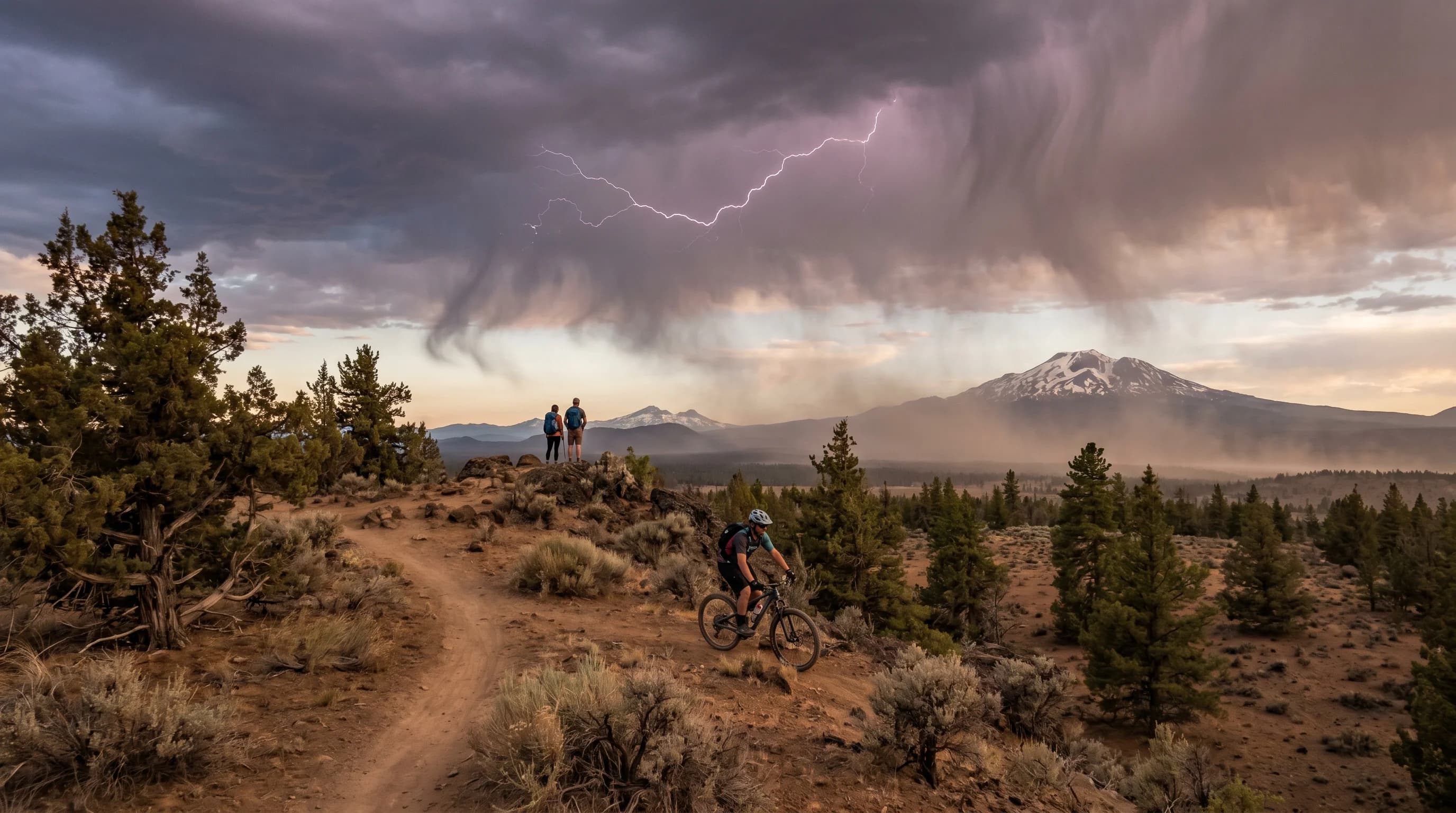
Central Oregon’s most dangerous storms barely rain. Dry thunderstorms bring lightning and gusty wind but little rain reaches the ground, igniting fires that the wind then fans across dry fuels.
6 min read →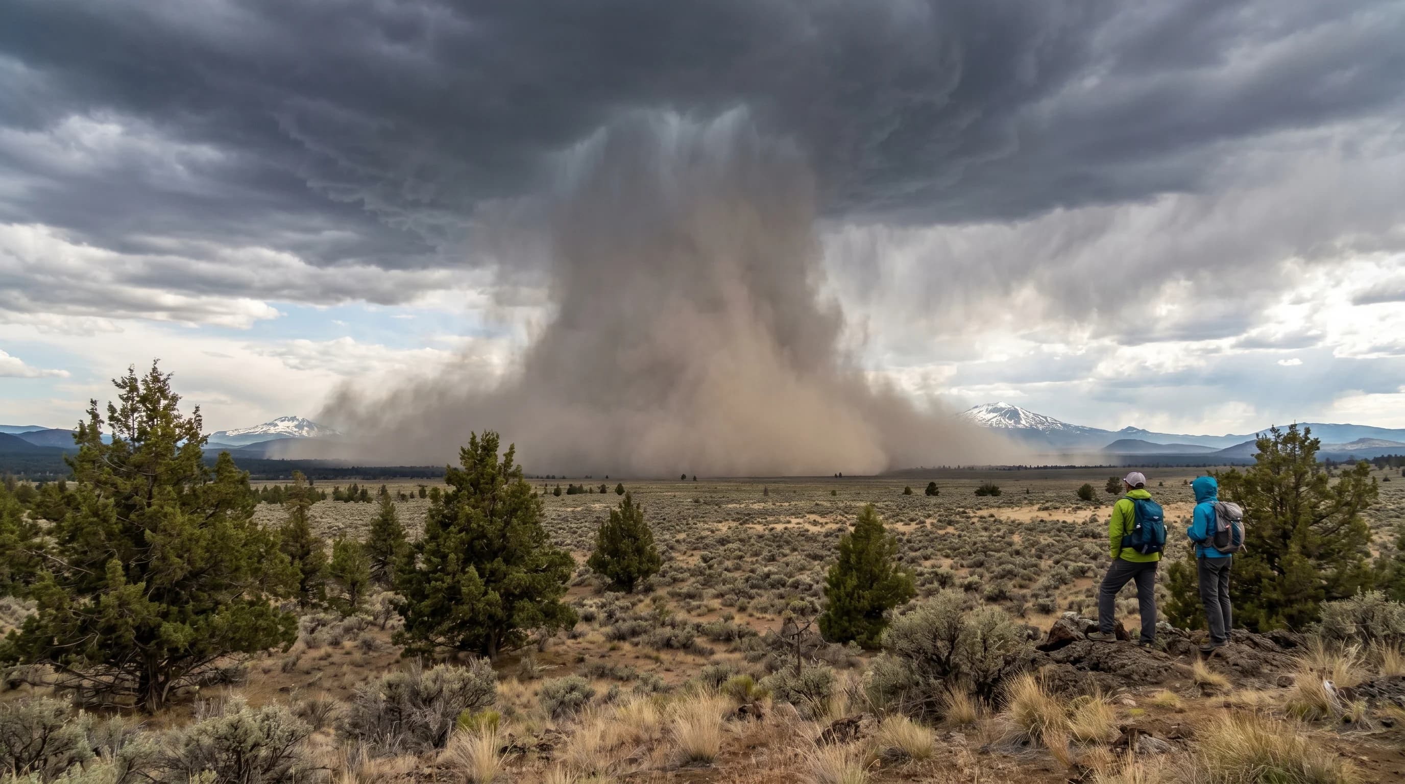
A microburst is a sudden downward blast of wind from a thunderstorm, reaching tornado-force speeds. Central Oregon’s dry air favors dry microbursts that arrive with dust instead of rain.
5 min read →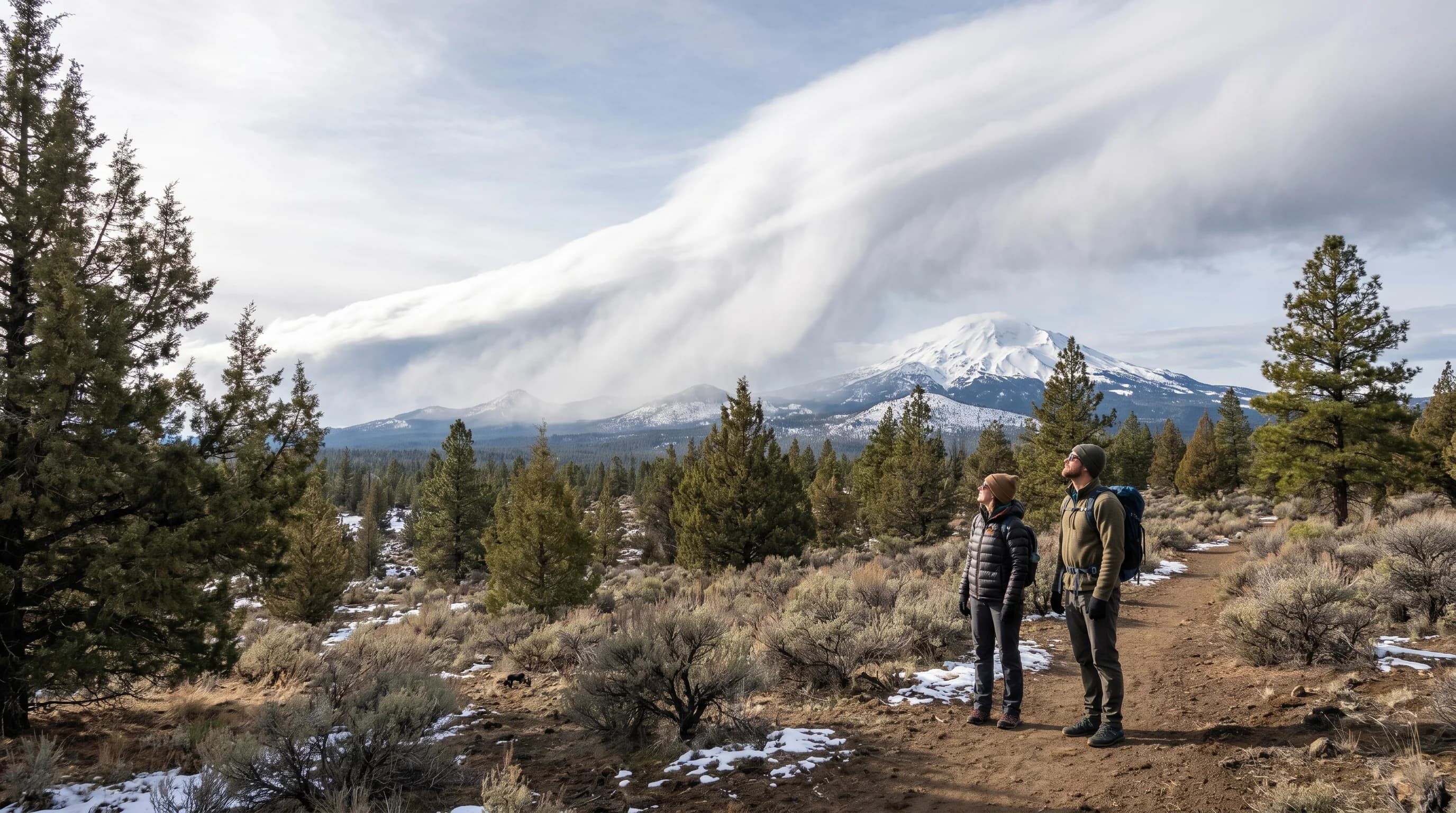
Most of Central Oregon’s winter snow arrives on a handful of big Pacific atmospheric rivers. They build the Cascade snowpack that feeds the rivers all summer, but a warm one can melt it instead.
5 min read →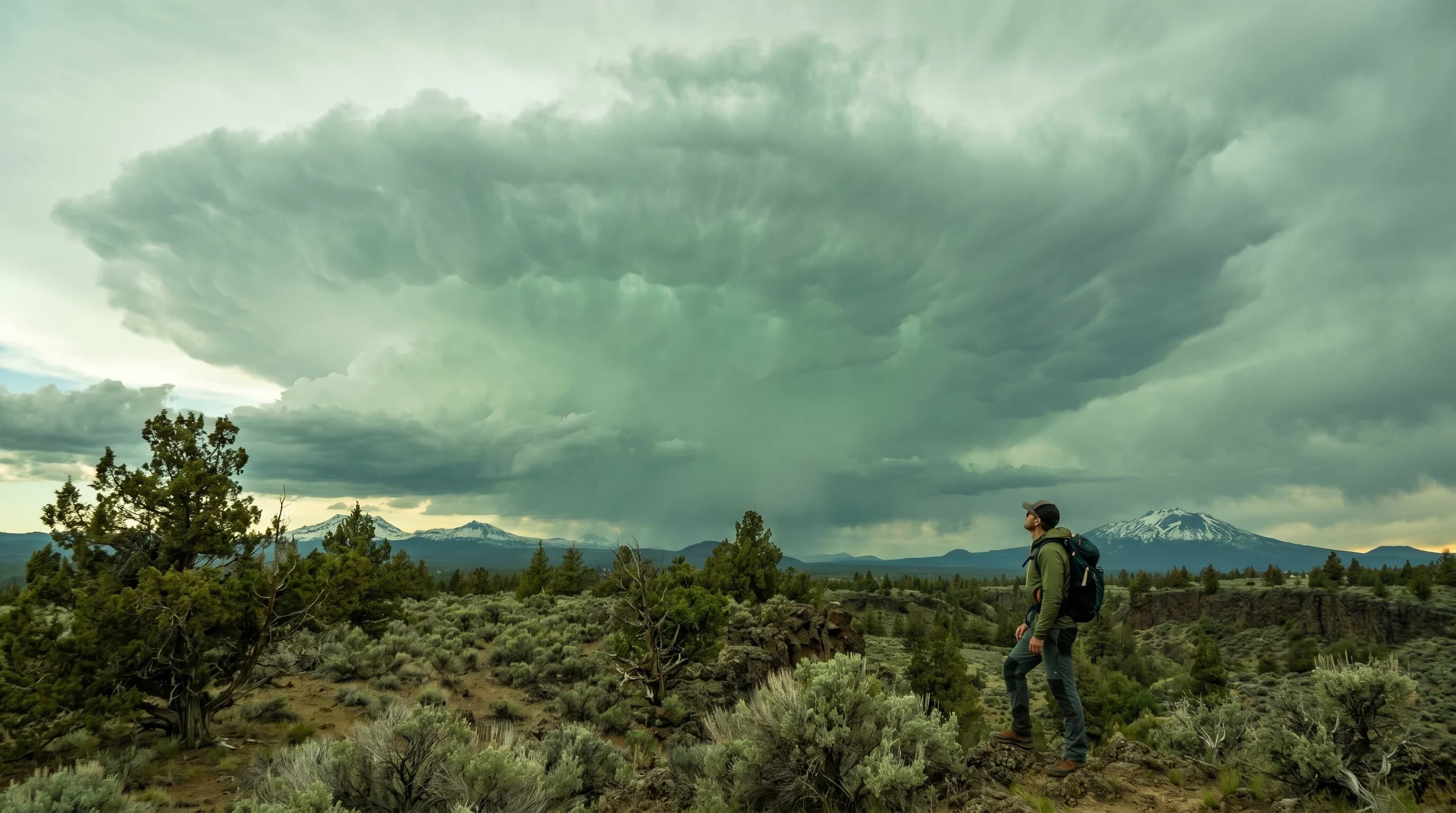
A green sky before a storm signals a deep, severe thunderstorm full of water and ice, the same conditions that make hail. It is rare in the high desert, and a sign to take shelter.
5 min read →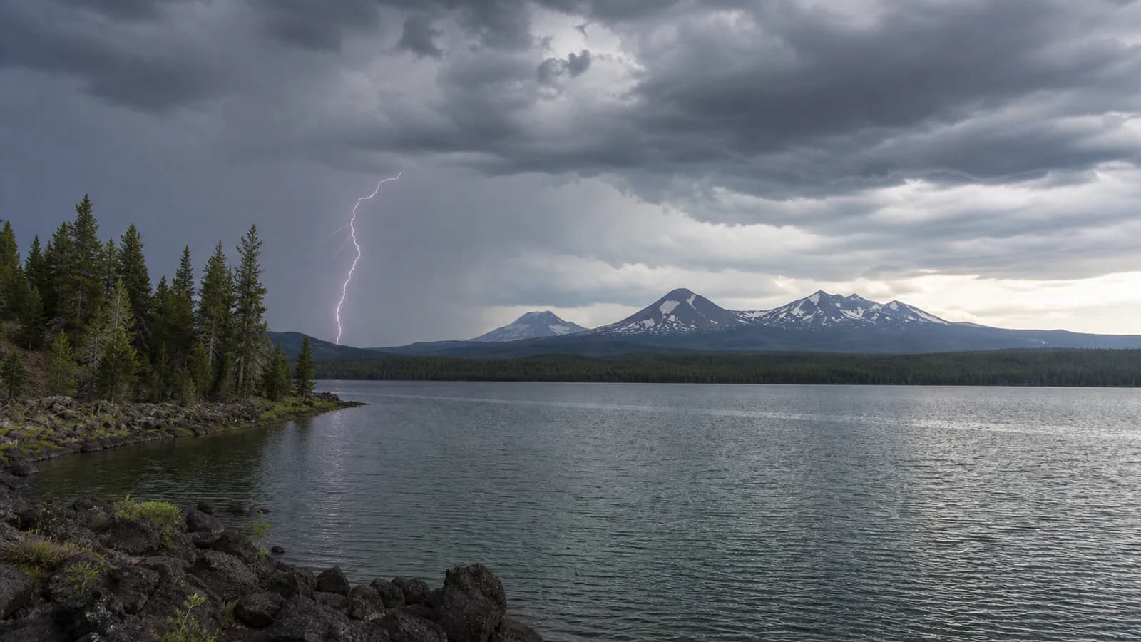
Lightning risk rises on summer afternoons when storms build over mountains, ridges, lakes, and high desert. A morning start and an exit plan matter.
6 min read →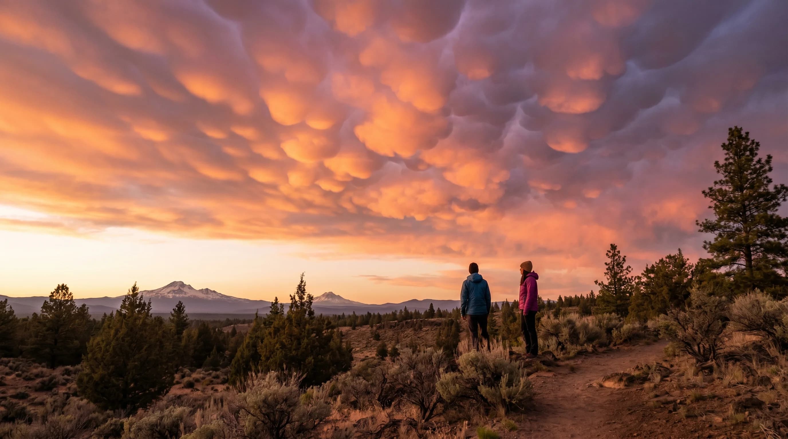
Mammatus clouds are the bubble-like pouches hanging beneath a storm anvil, formed by sinking cooled air. They signal a powerful storm nearby, usually one that is winding down.
6 min read →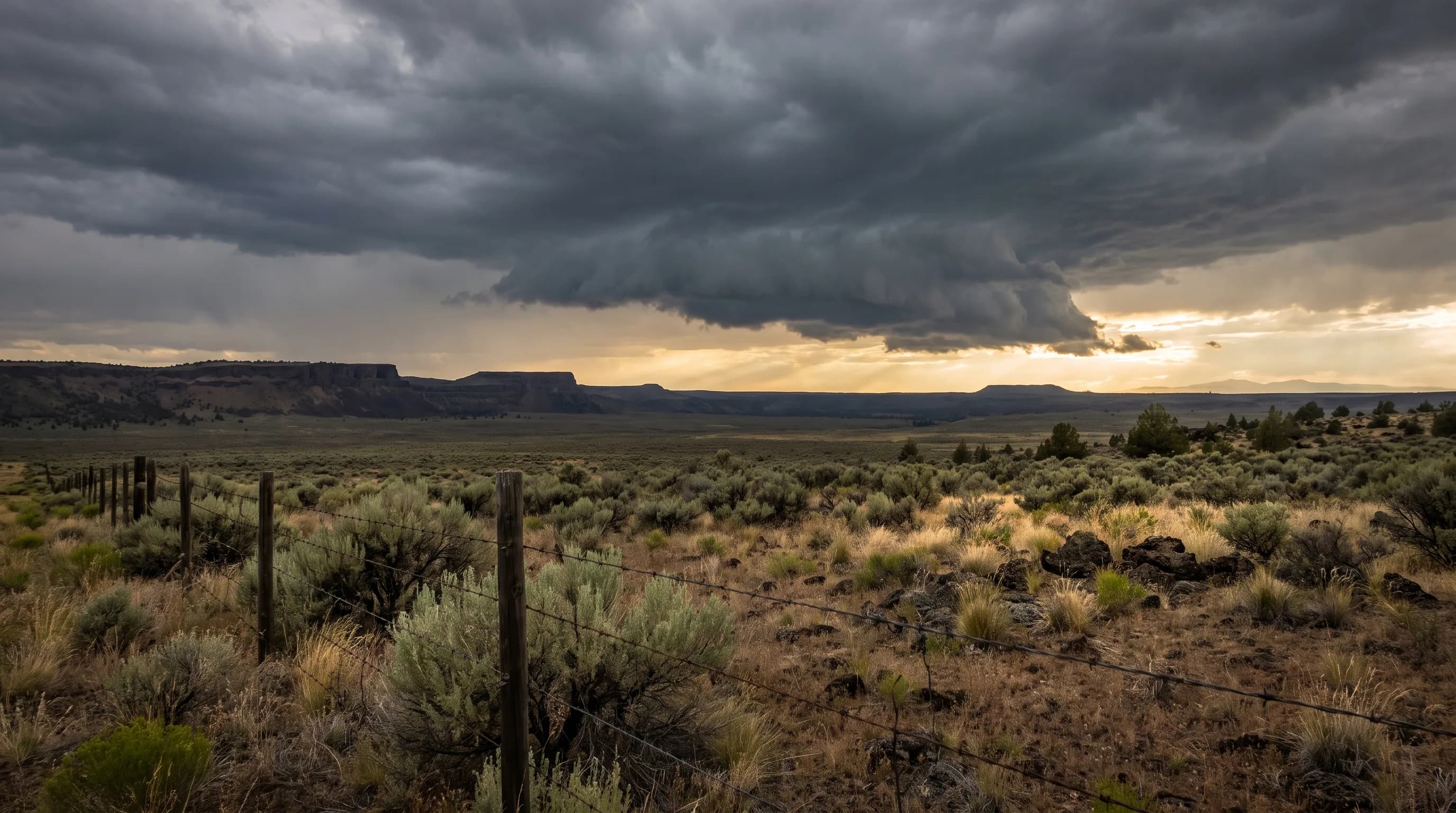
Oregon has the ingredients for tornadoes only in small doses, so its tornadoes stay small. Central Oregon has recorded eight since 1950, the latest in Bend.
9 min read →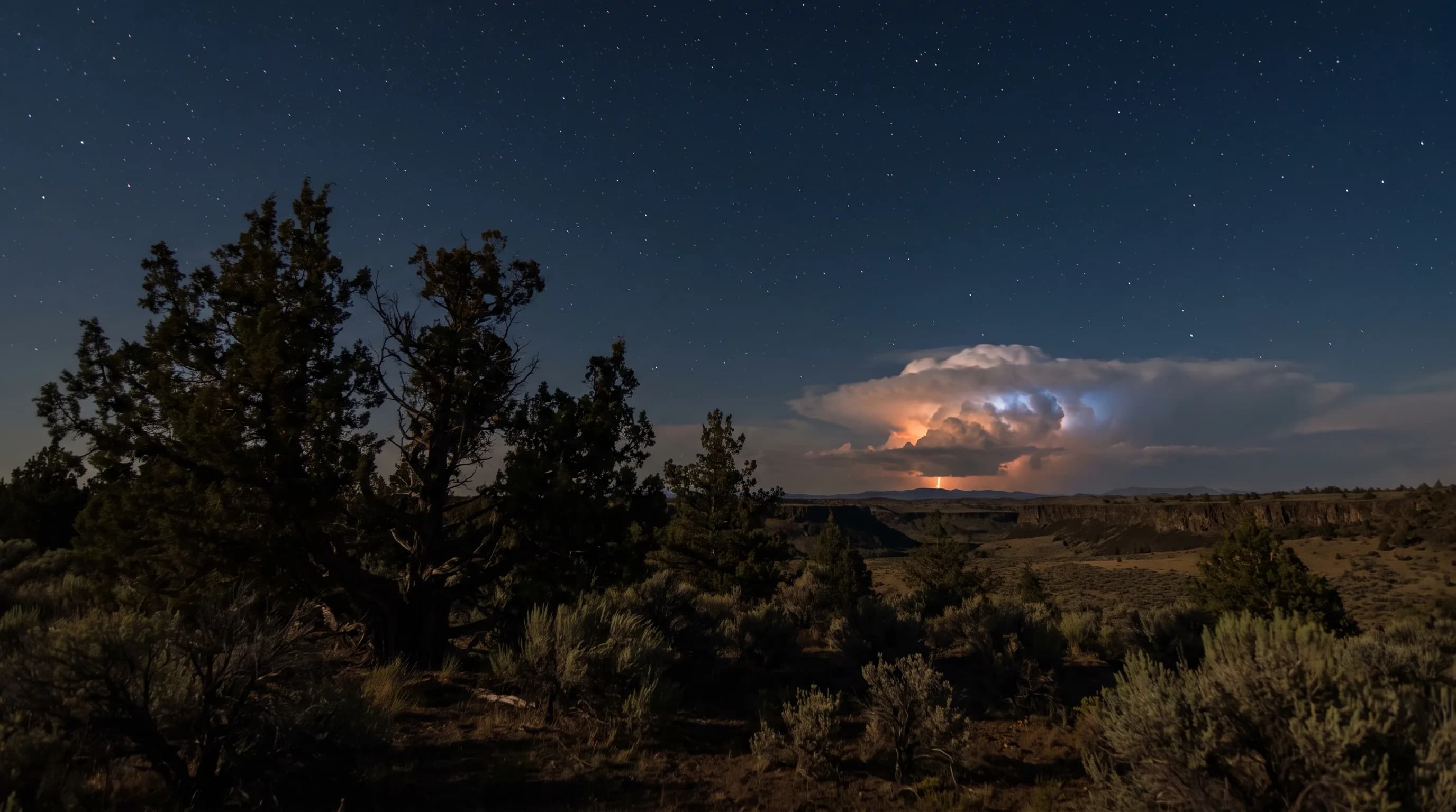
Light travels much farther than sound: Redmond Airport detects nearby lightning on about three times as many summer days as it hears a thunderstorm.
9 min read →Category
Optical effects and unusual cloud sights, from sun dogs and halos to lenticular clouds, light pillars, and aurora nights.
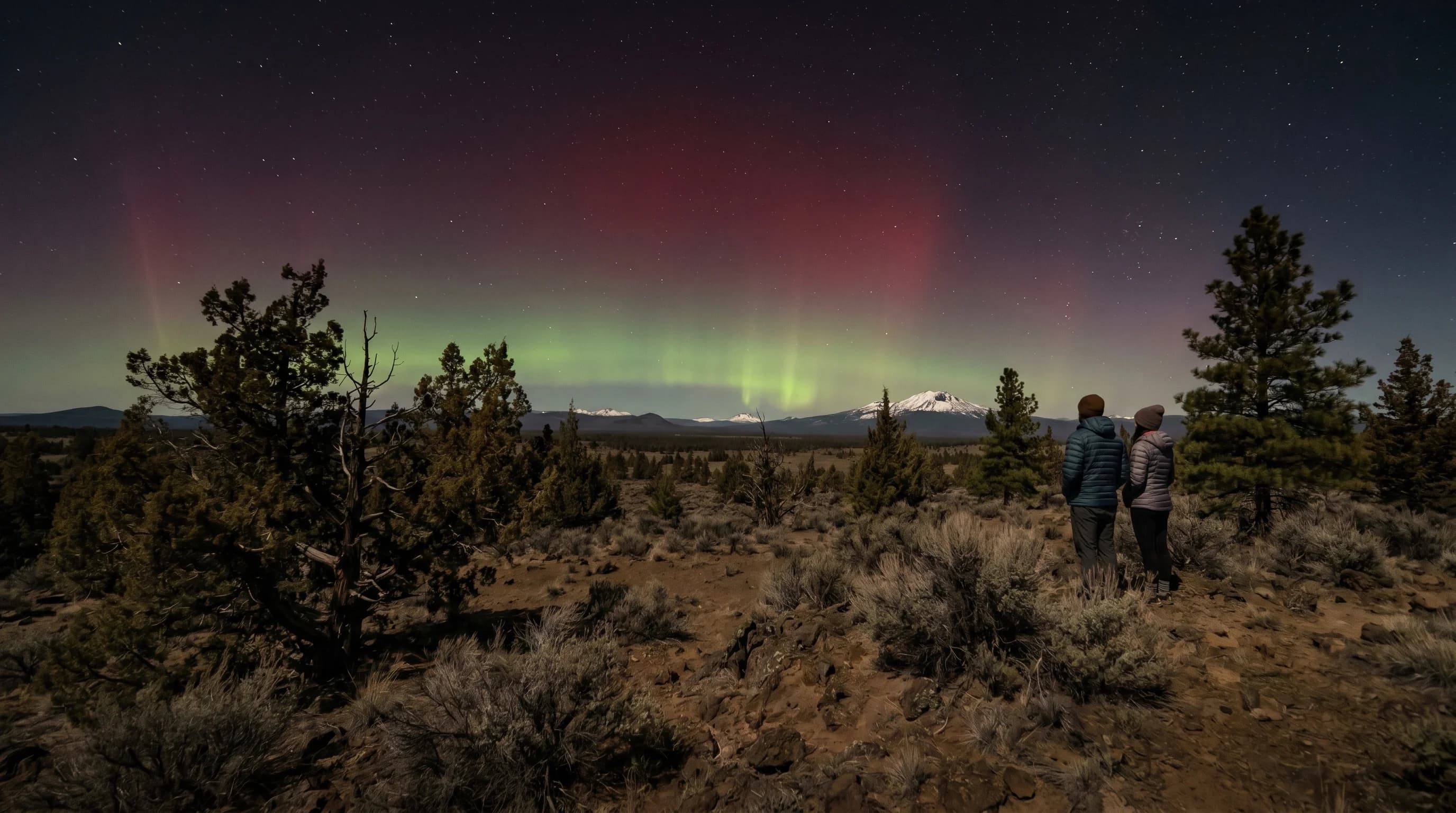
The northern lights are rare in Central Oregon but reach the high desert during strong solar storms. Dark skies, dry air, and high elevation make it one of Oregon’s better places to catch them.
5 min read →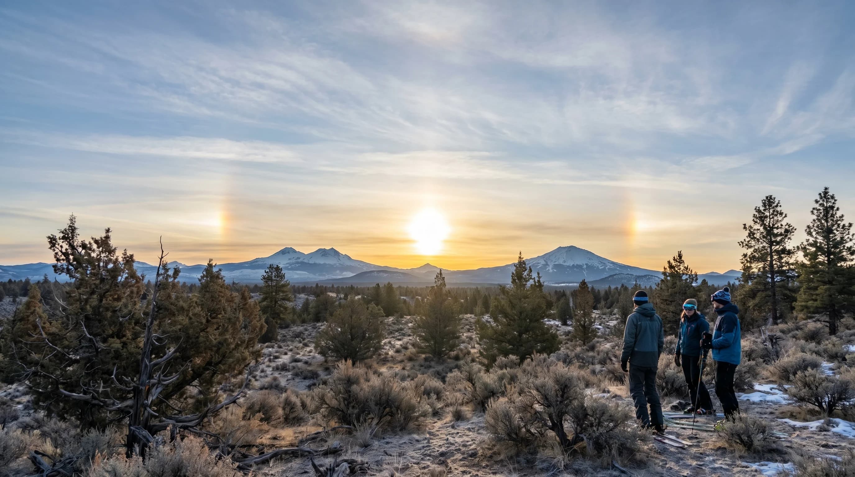
A sun dog is a bright, rainbow-tinted spot about 22 degrees to the side of the sun, made by ice crystals in cirrus clouds. They are common over the cold, clear high desert.
6 min read →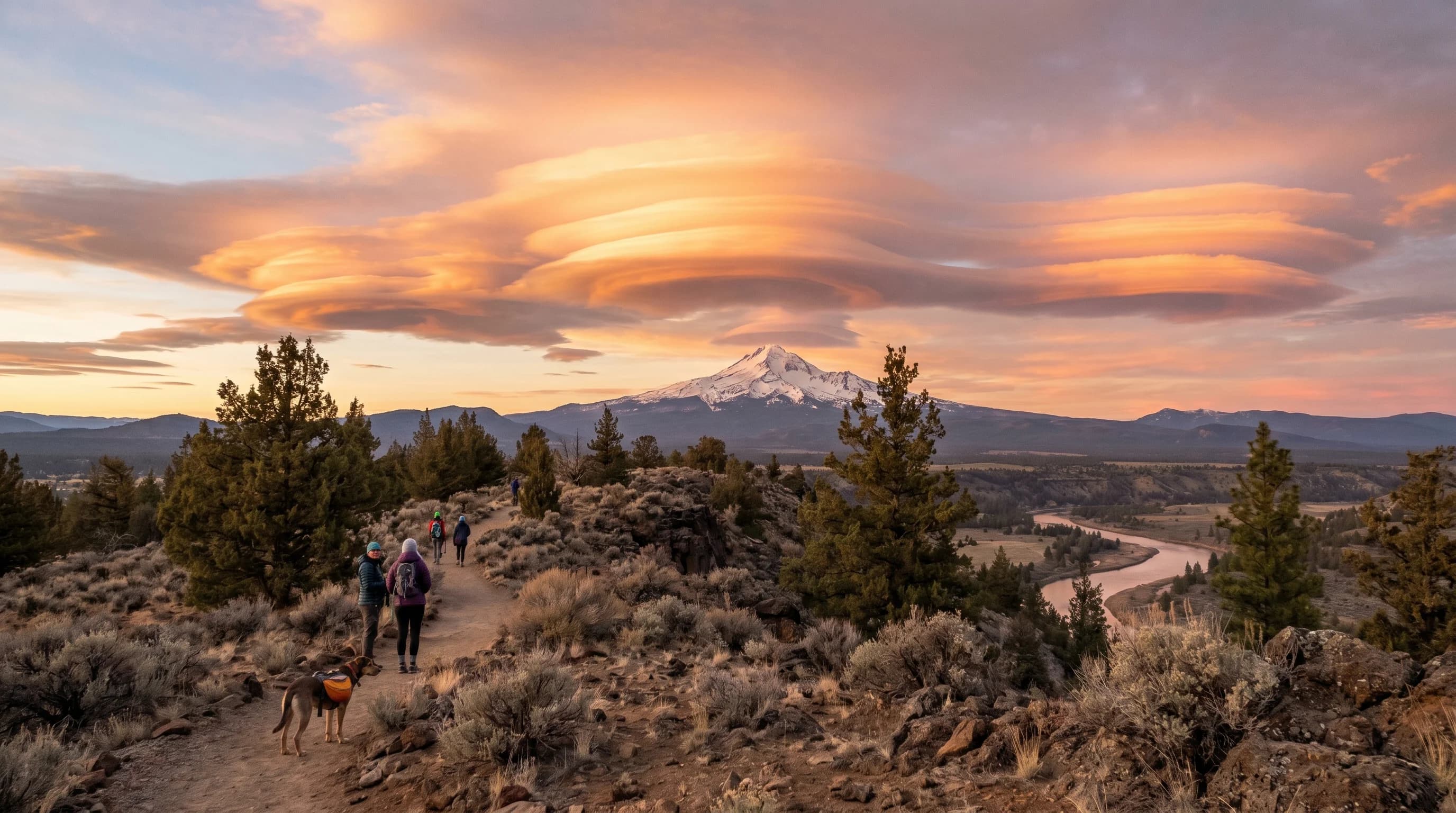
Lenticular clouds are the smooth, saucer-shaped clouds that hang motionless over Cascade peaks, formed in standing mountain waves. They are one of Central Oregon’s signature sky sights.
6 min read →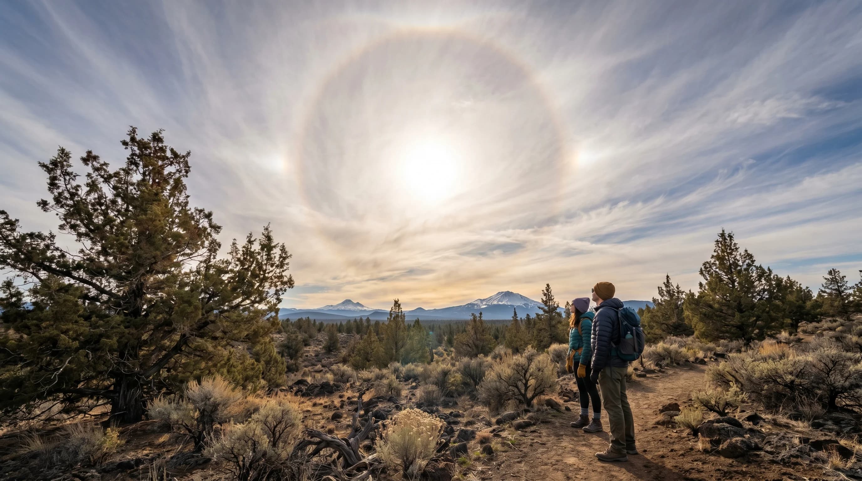
A sun halo is a ring of light about 22 degrees from the sun, made by cirrus ice crystals. It is harmless and often precedes a weather change, and it is common over the high desert.
6 min read →
Light pillars are the vertical columns of light over streetlights and the low sun on frigid nights, made by light reflecting off suspended ice crystals. They appear in deep high-desert cold.
6 min read →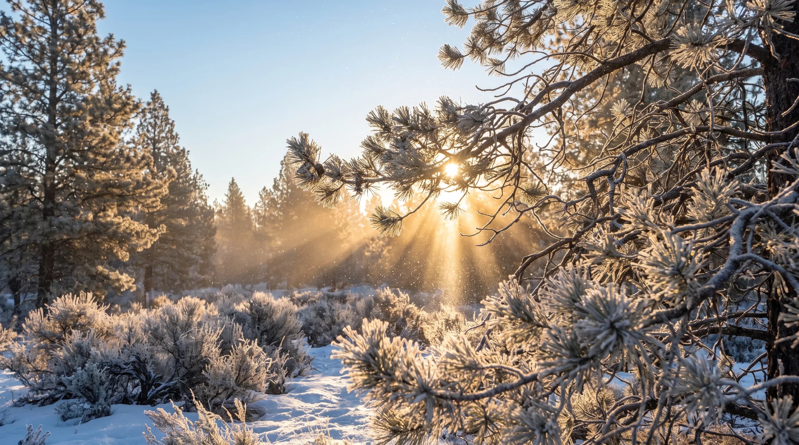
True ice fog needs temperatures near -22°F, so it is rare here; most local "ice fog" is freezing fog. Diamond dust and frost flowers show up in cold snaps.
10 min read →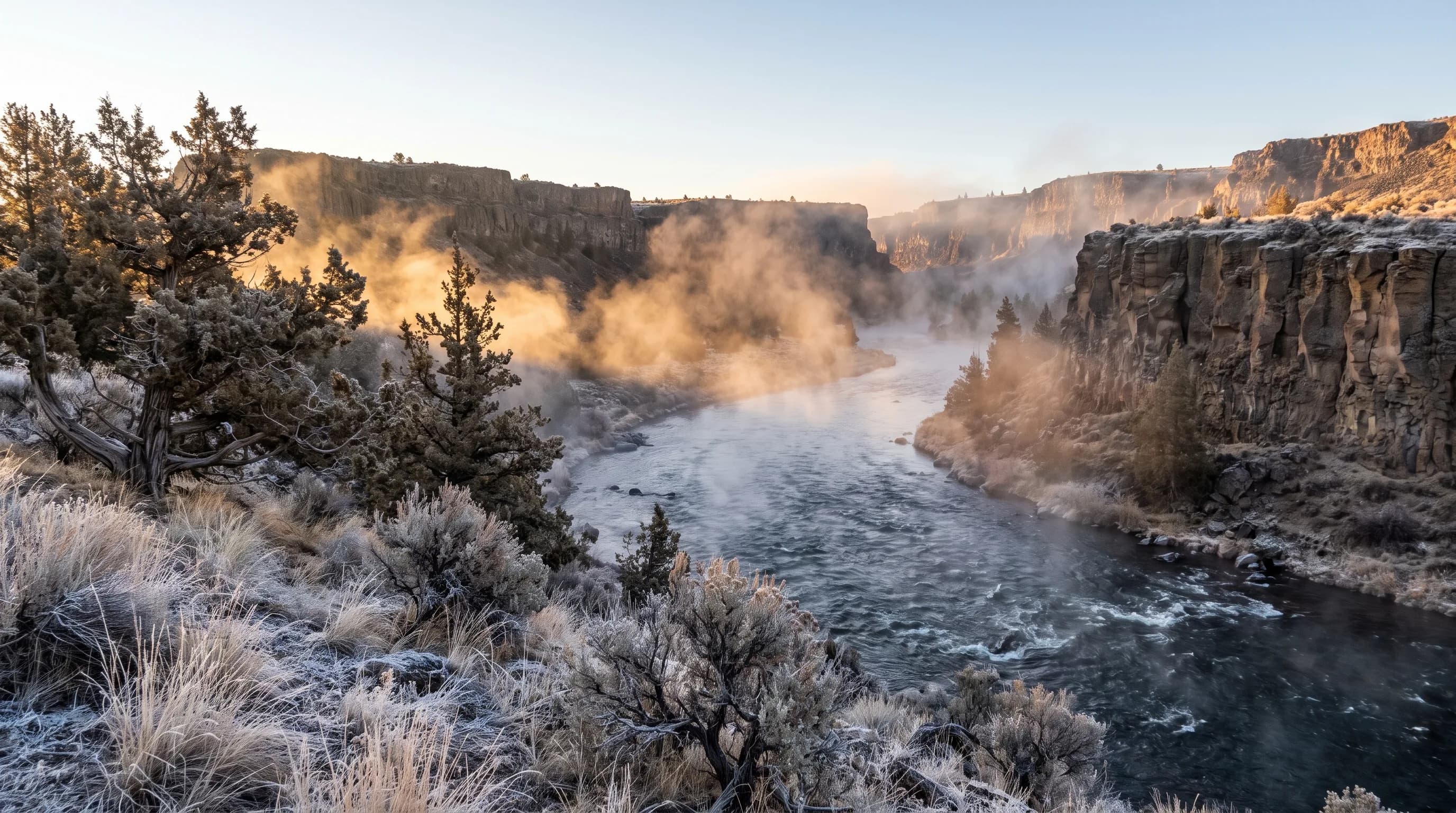
The Crooked River below Opal Springs averages about 52°F in January. When subzero air settles over it, the gap between water and air turns the river to steam.
10 min read →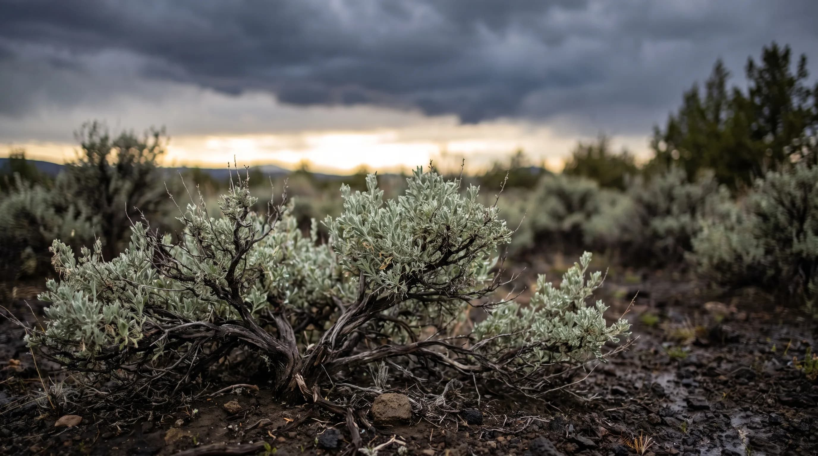
The longer the wait, the stronger the smell: long summer dry spells and sagebrush make the first rain in Central Oregon unusually fragrant.
9 min read →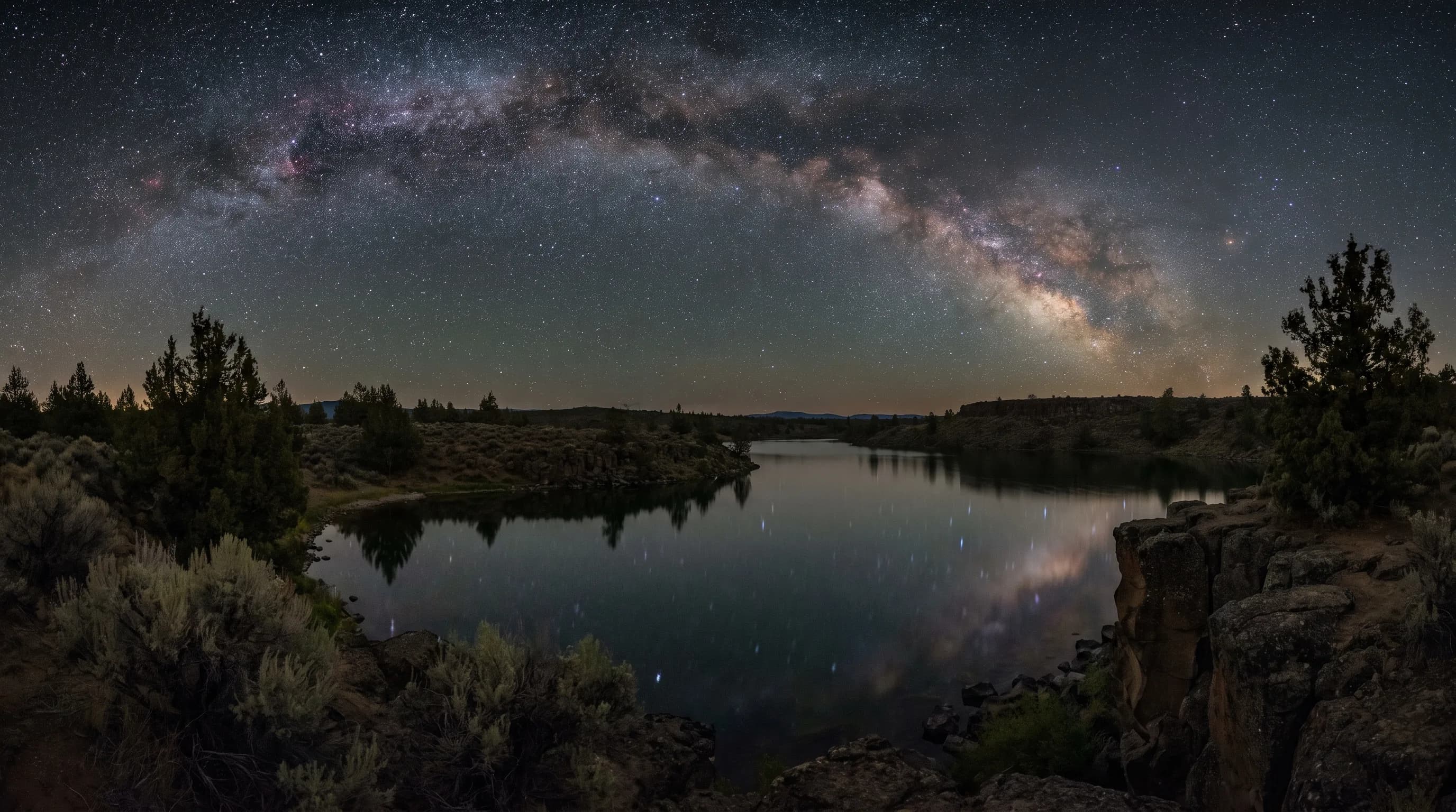
The high desert's best stargazing season is set by the same dry summer air that brings heat and smoke: about 78% of July nights near Bend are mostly clear.
9 min read →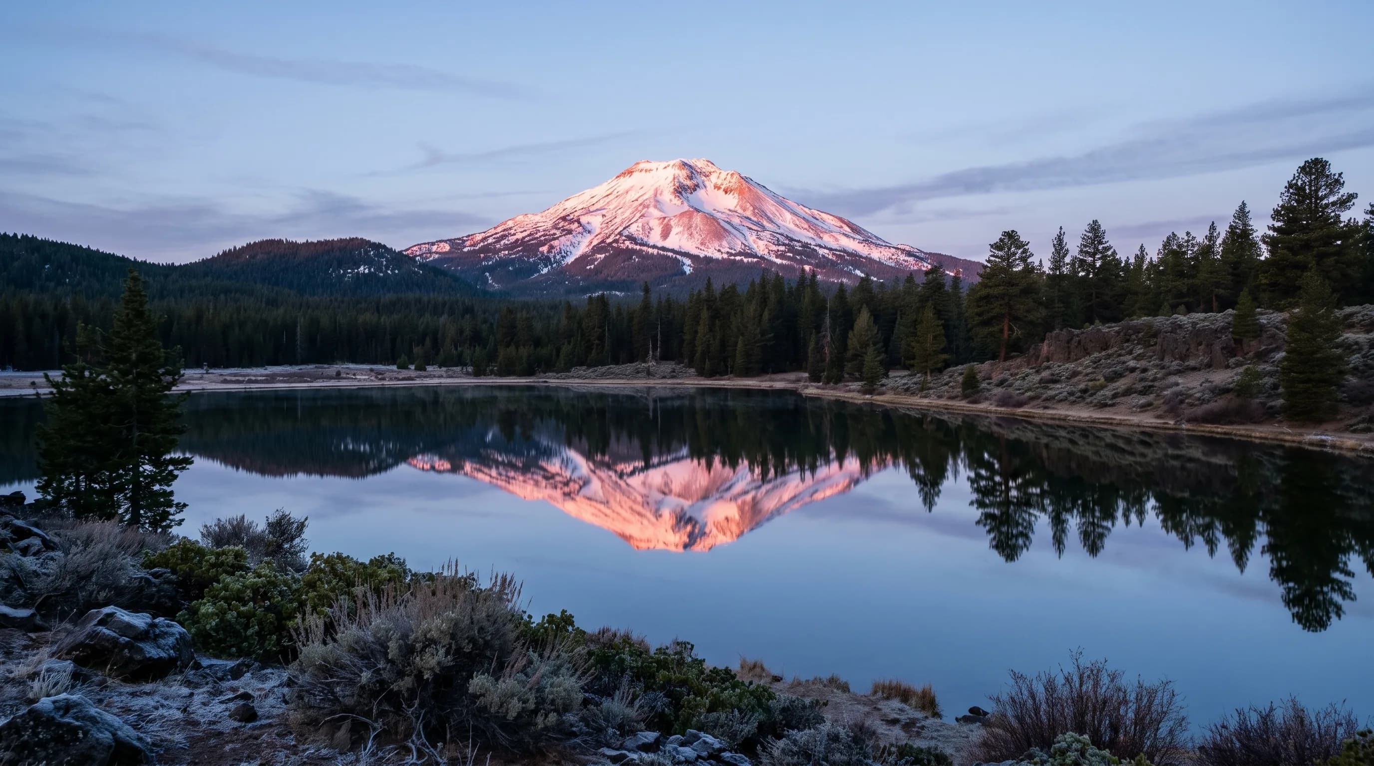
Alpenglow needs snow on the peaks, a clear sky and the first or last red light of the day. From Bend, the Three Sisters glow at sunrise.
9 min read →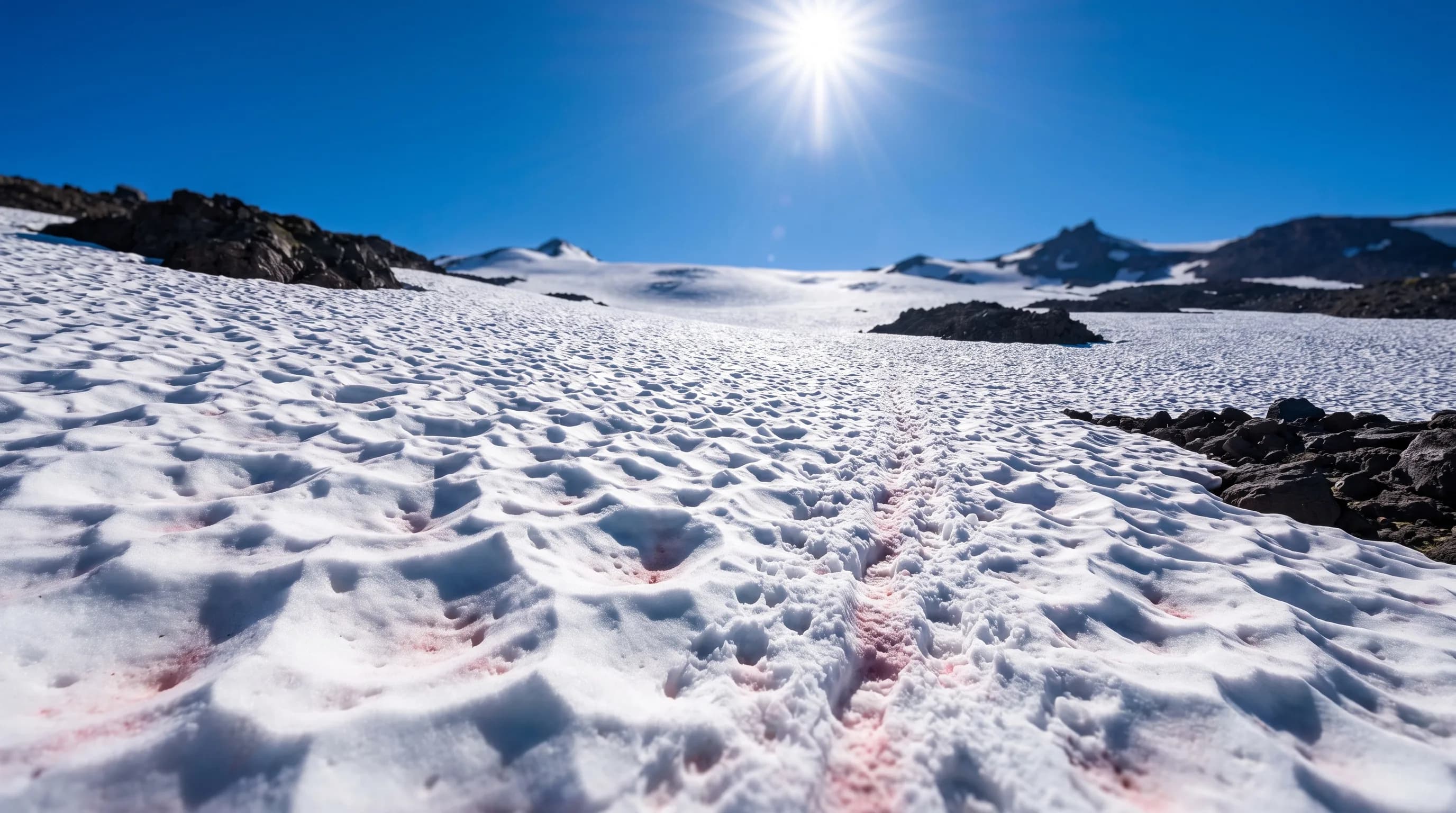
Central Oregon's summer sun does unusual work on old snow: it wakes up algae that turn the surface pink and sculpts the snowfields into cups.
9 min read →Category
Planning guides for Bend, Sunriver, Smith Rock, Mt. Bachelor travel, RDM airport delays, packing, and picking the best weather window.
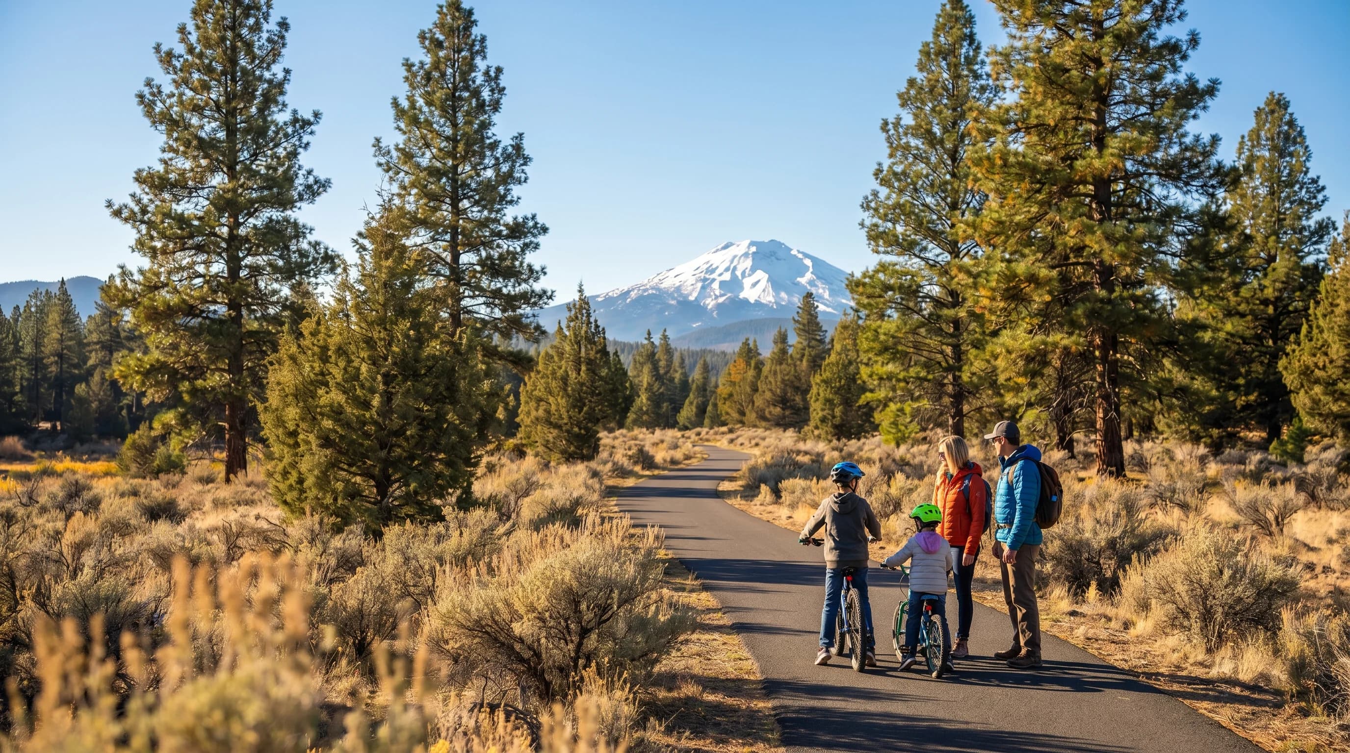
Sunriver is a high-desert resort at about 4,150 feet: snowy cold winters, hot dry summers with smoke risk, and big daily swings. Best months are late June, September, and December to March.
6 min read →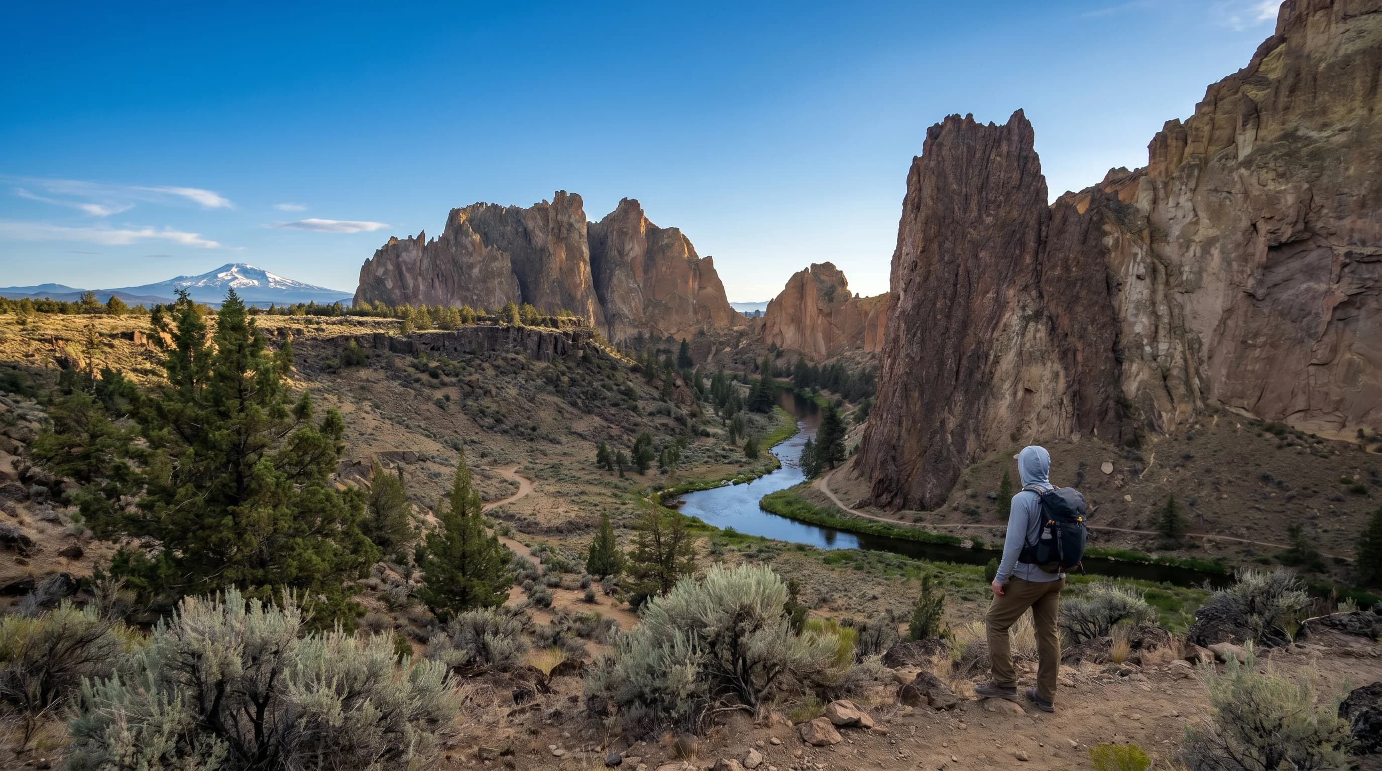
Smith Rock is open, exposed high desert: shadeless and hot in summer, cold and icy in winter, ideal in spring and fall. Plan dawn starts in summer and traction in winter.
6 min read →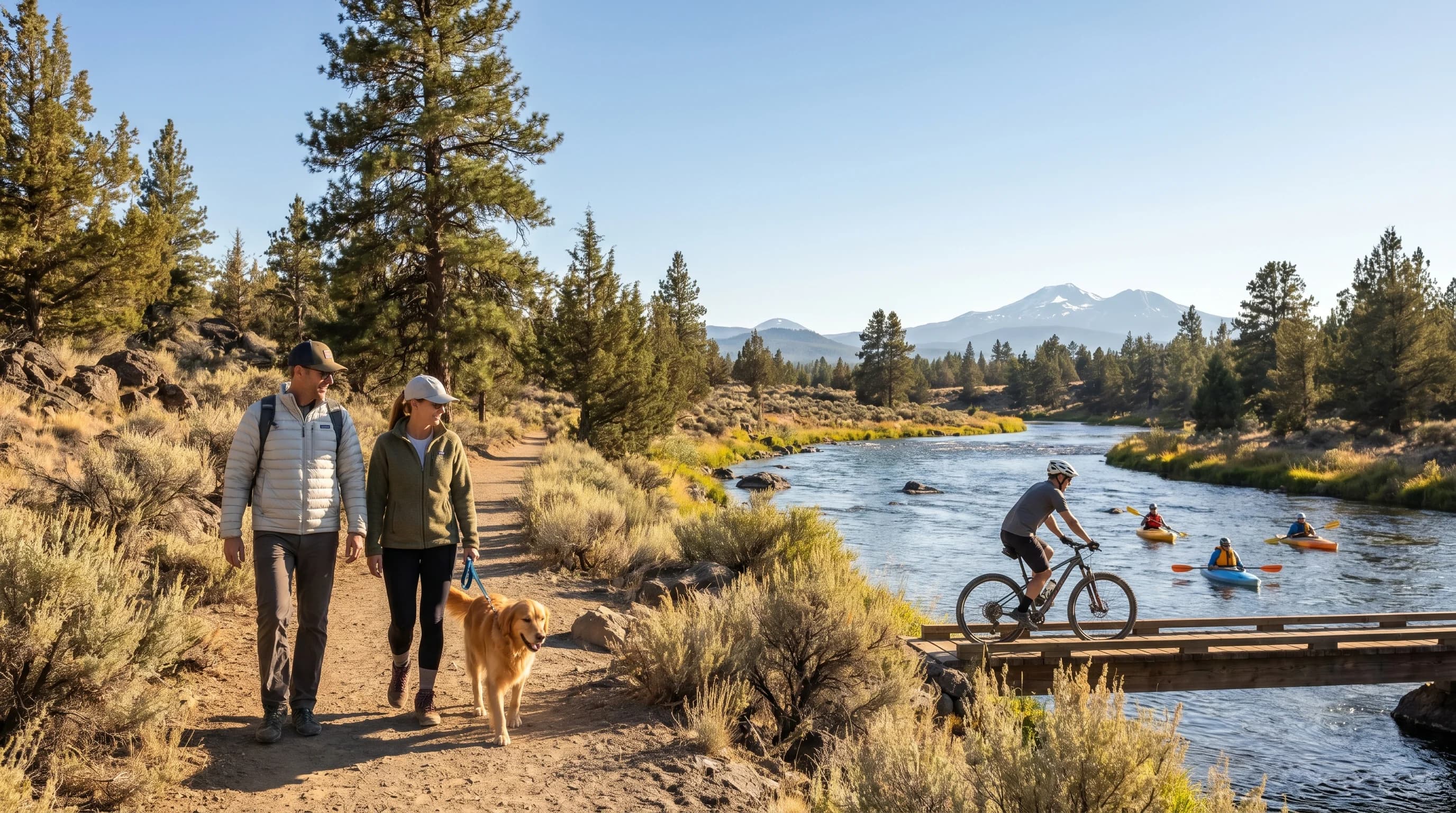
Late June and September are the best weather windows for Bend; December through March for skiing. August smoke and deep-January cold are the trickiest times. Match the month to the trip.
6 min read →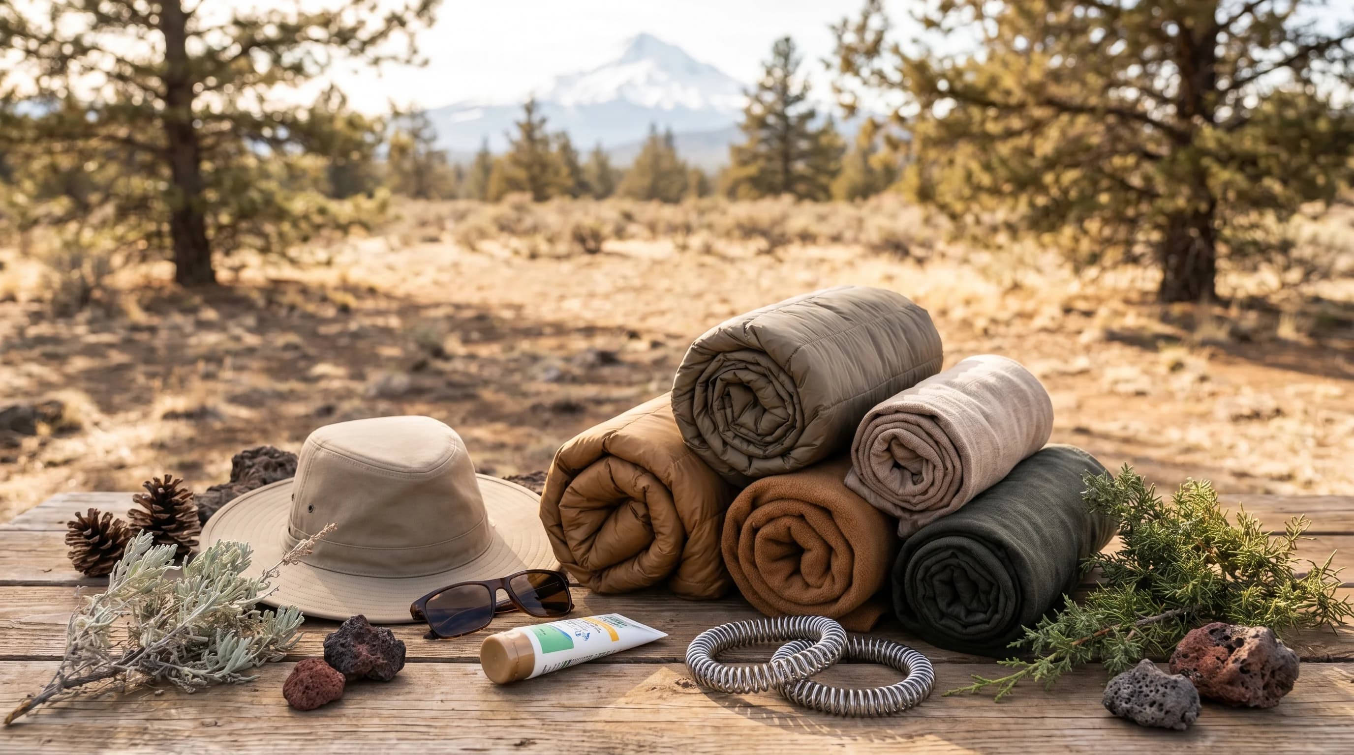
Pack for Bend by layering and bringing sun protection year-round, then add winter traction and a summer N95 for smoke. Plan as if the day and night are two different seasons.
6 min read →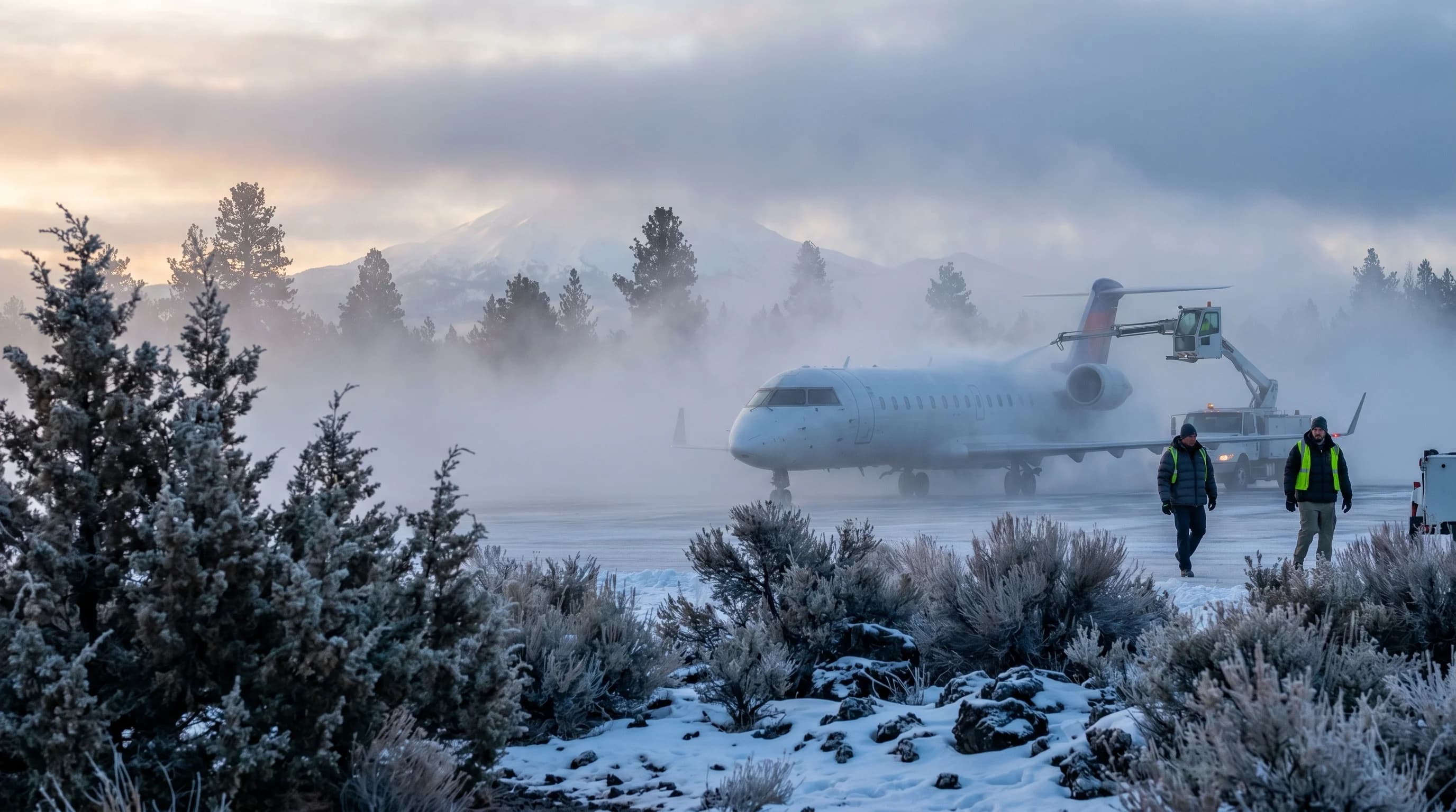
RDM weather delays come from winter freezing fog and low visibility, snow and ice, and late-summer wildfire smoke. Freezing fog in the cold Deschutes Basin is the most common cause.
6 min read →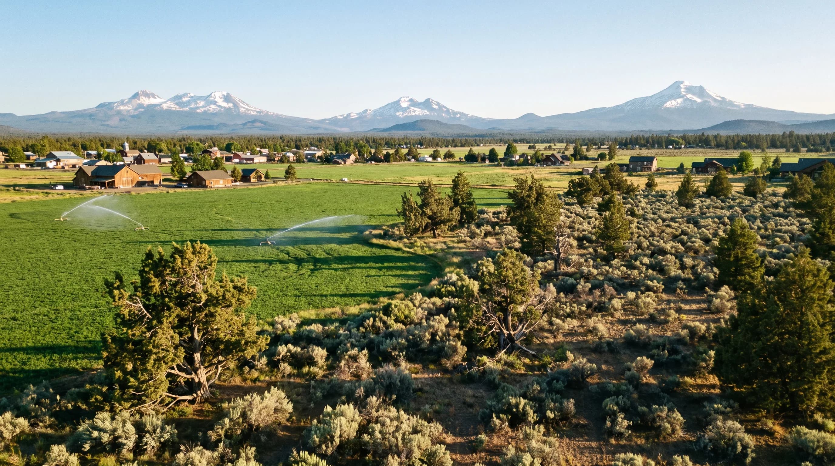
Redmond is Central Oregon with the volume turned toward desert: hotter afternoons, less snow and less rain than Bend, with nights just as cold.
9 min read →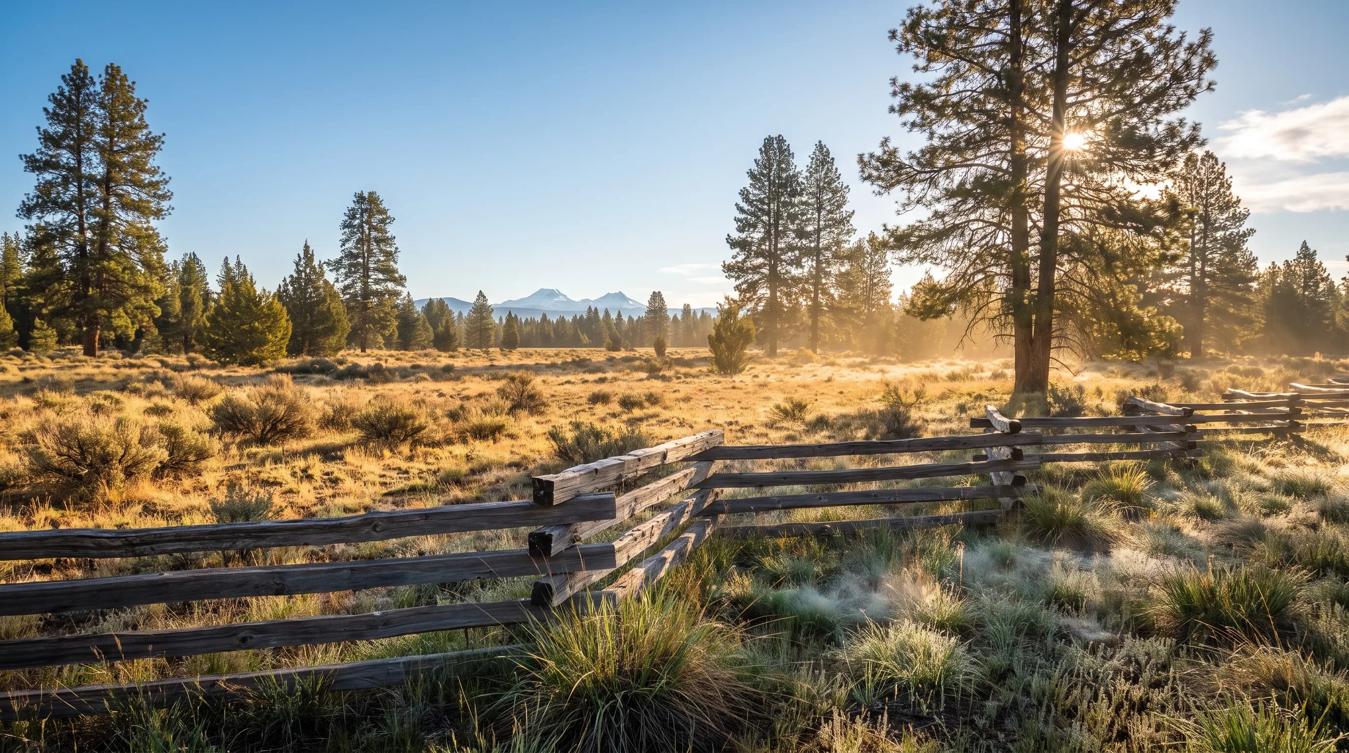
Sisters gets the mountains' moisture and the desert's sunshine: more snow and colder nights than Bend, hotter afternoons, and big event weekends in between.
9 min read →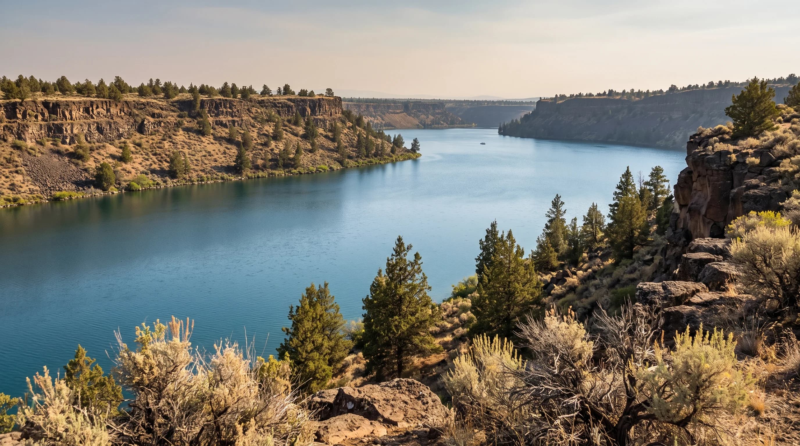
Prineville trades Bend's snow for heat: nearly the same precipitation, less than half the snow, twice the 90°F days, and some of Oregon's darkest summer skies.
9 min read →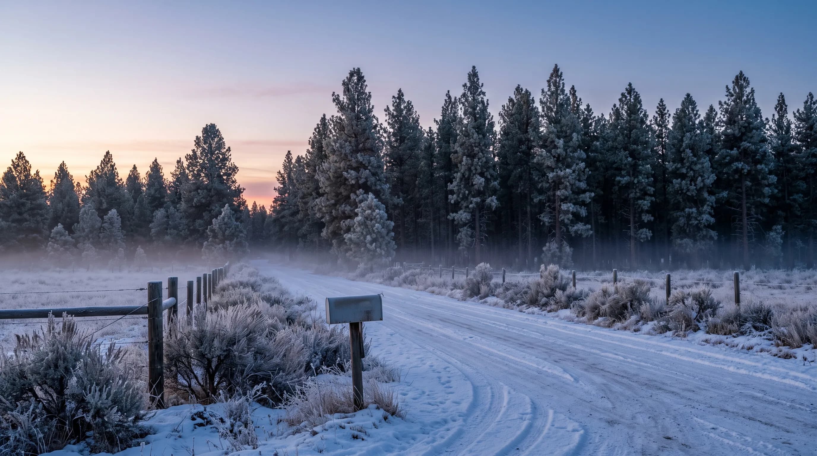
La Pine is a cold-air basin: snow on the ground most of the winter, some of Central Oregon's coldest nights, and short, warm summers for the lakes.
9 min read →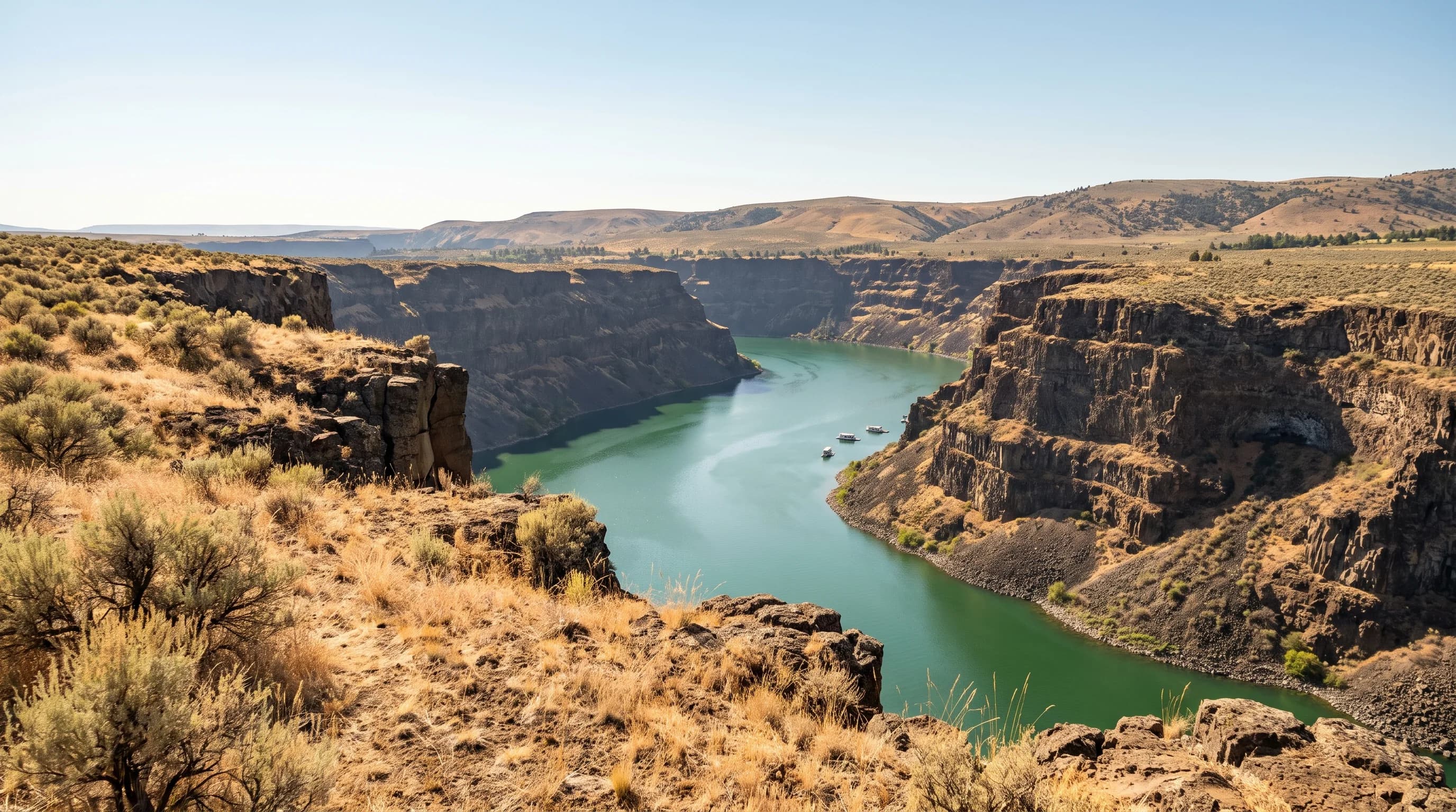
In Madras, going down means getting hotter: the plateau town is warm and dry, and the canyon lakes below it are Central Oregon's hot spot.
9 min read →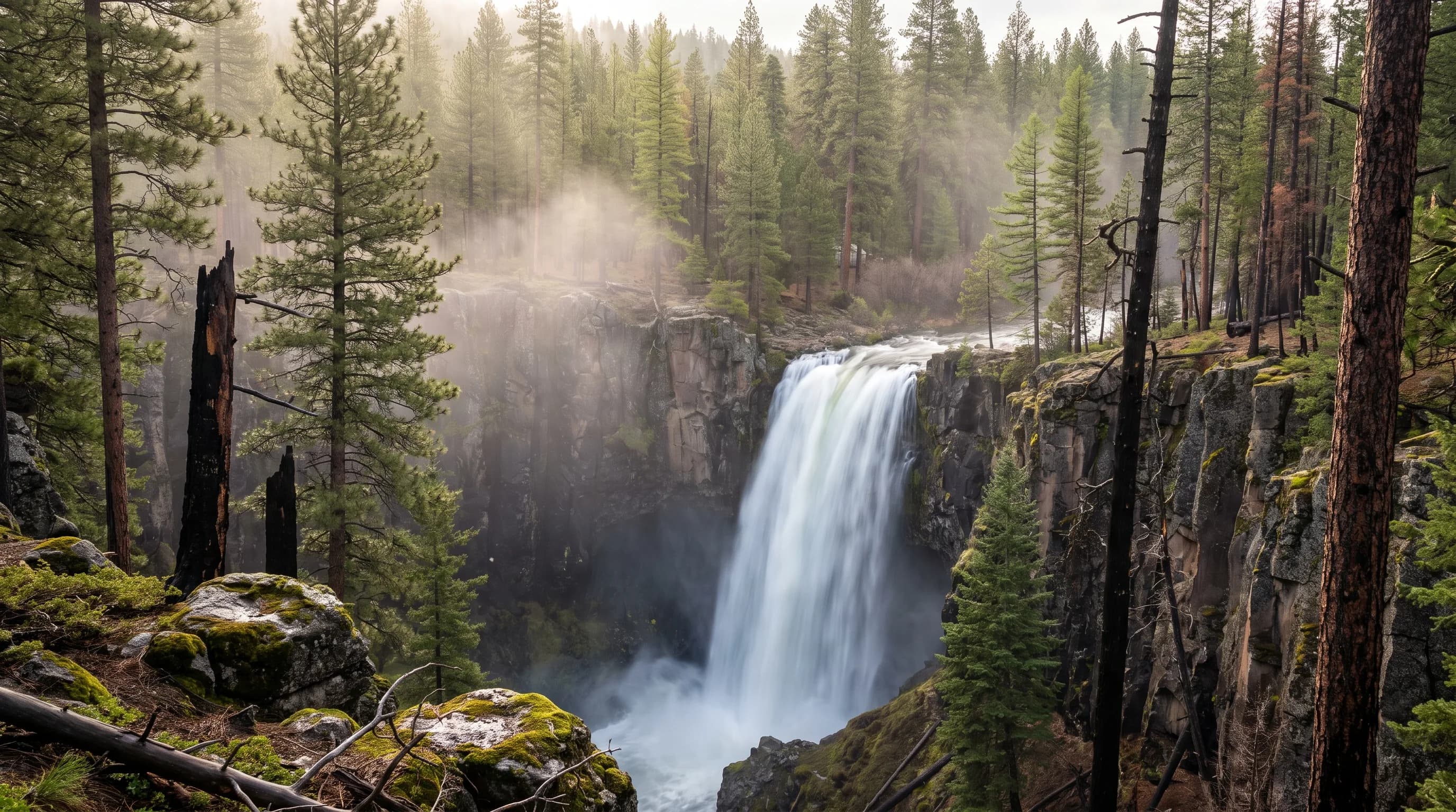
Every waterfall has a water source, and the source sets the season: snowmelt for Tumalo Falls, reservoir releases for Benham Falls and springs for Sahalie Falls.
9 min read →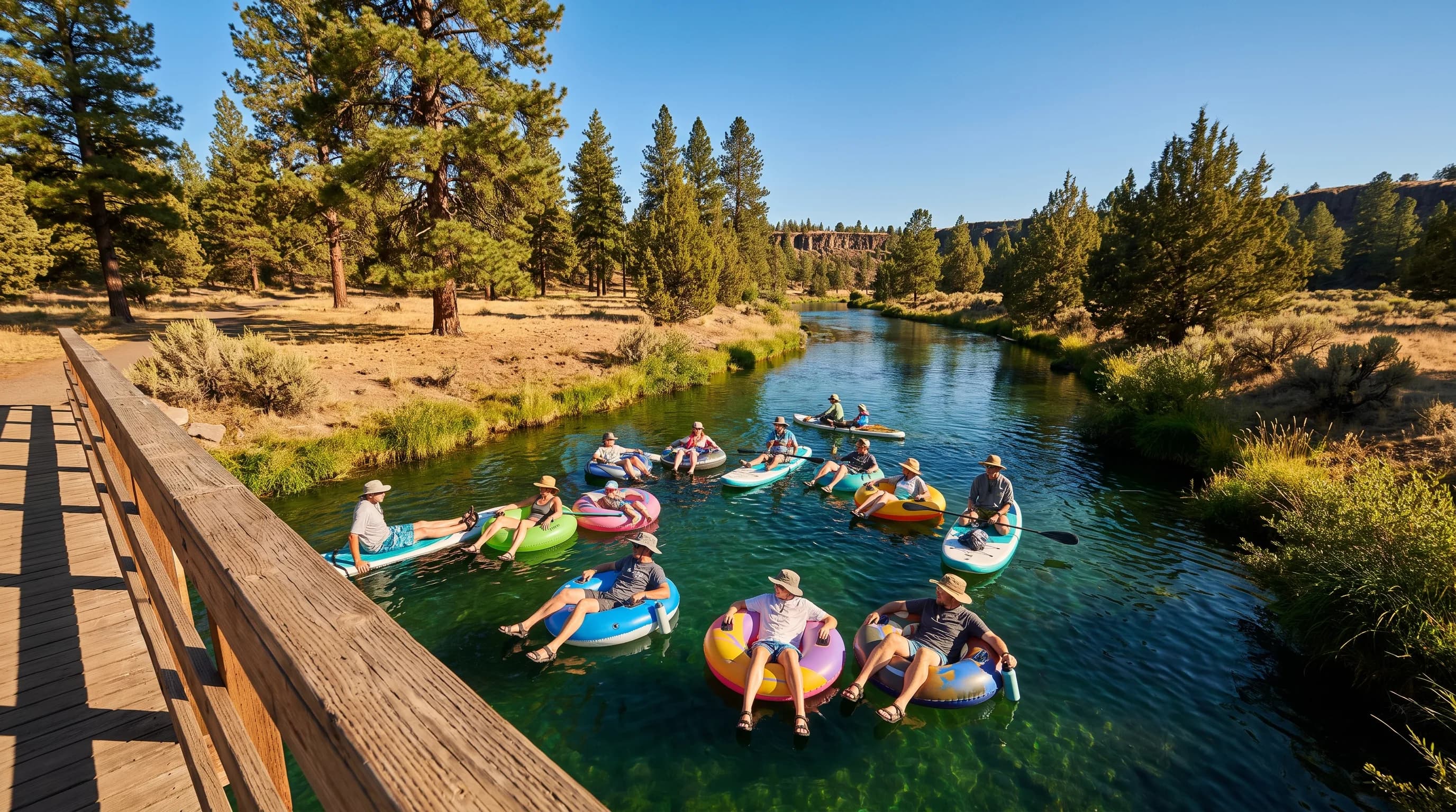
Bend's float season is built on stored snow released through a dam: the Deschutes runs highest in July, just as the town's hottest days arrive.
9 min read →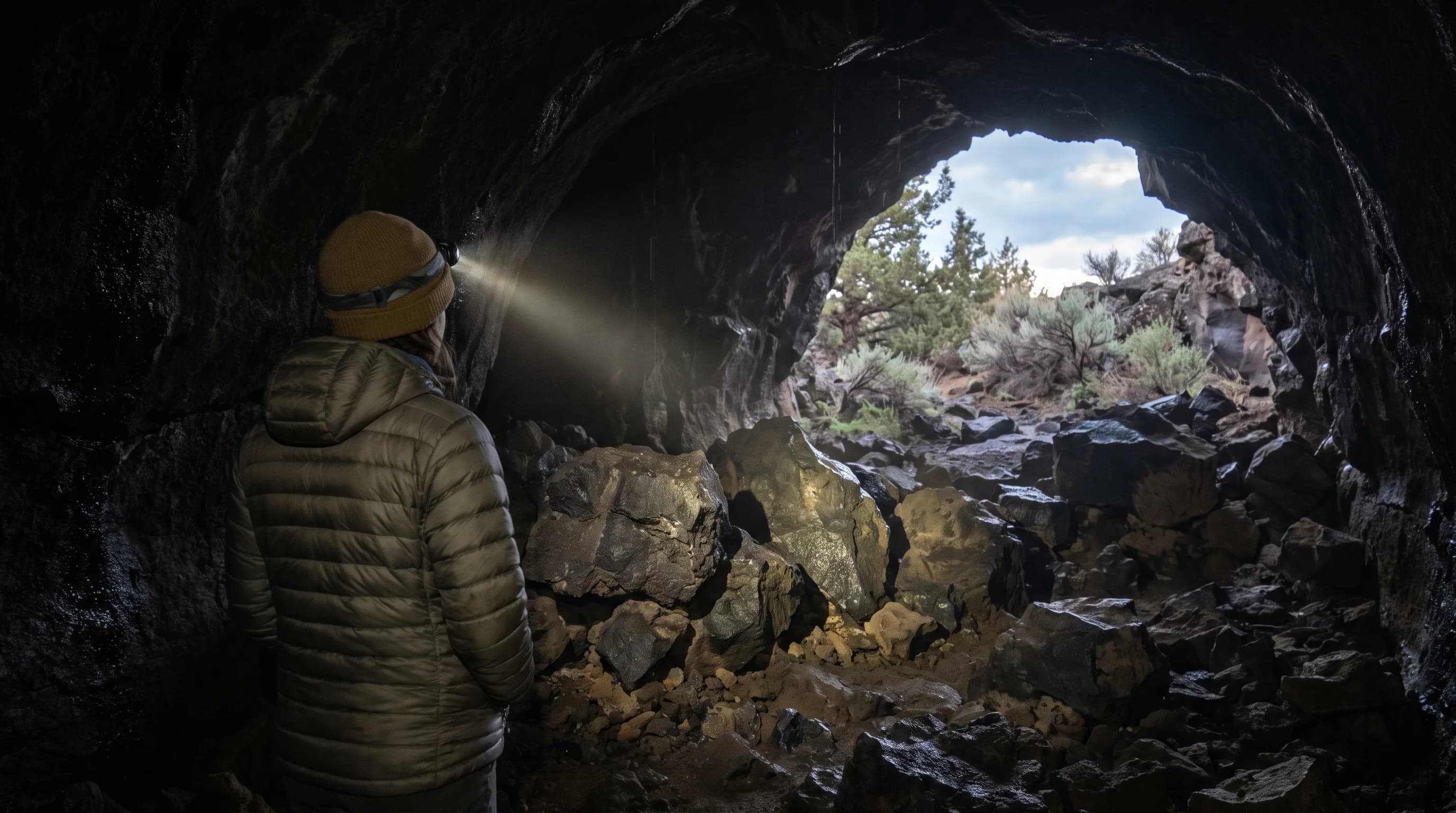
Cold air is heavy: in winter it pours into Central Oregon's lava tubes and cracks and stays there, so Lava River Cave sits near 42°F even in July.
9 min read →Recently Added
Newly published articles that are waiting for a permanent topic group.
