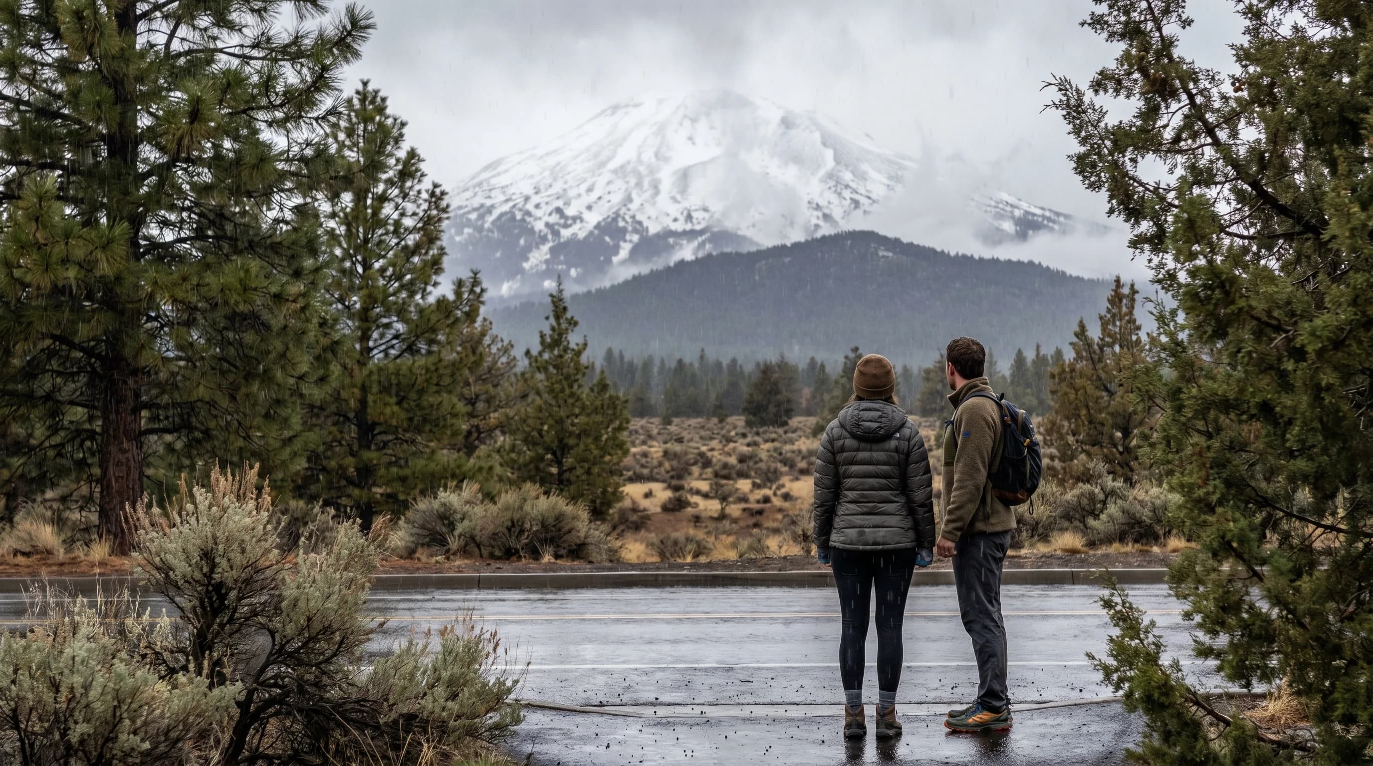
It can rain in Bend while it snows at Mt. Bachelor because the snow level, the elevation where falling rain turns to snow, often sits between the two. Bend, at about 3,600 feet, falls below that line and gets rain, while Mt. Bachelor's slopes from 6,300 to 9,068 feet sit above it and get snow, all from the same storm just 22 miles apart. It is one of the most common sources of confusion in Central Oregon winters, and once you understand snow level, the whole pattern of who gets snow and who gets rain falls into place.
Why Can It Rain in Bend but Snow at Mt. Bachelor?
The answer is elevation and the snow level. A single winter storm does not deliver the same precipitation everywhere; it delivers rain below a certain elevation and snow above it, and that dividing line is the snow level. When the snow level sits at, say, 4,500 feet, Bend at 3,600 feet is below it and gets rain, while Mt. Bachelor's base at 6,300 feet is well above it and gets snow. The two places are close in distance but nearly a vertical mile apart, so the same storm treats them completely differently.
This is the everyday reality of living and recreating in a region that climbs so steeply from the high desert to the Cascade crest. It is why the Bend forecast and the Mt. Bachelor forecast can read like two different days, and why locals learn to think in terms of elevation rather than a single regional outlook. The underlying concept is covered in the snow level map guide.
What Is the Snow Level?
The snow level is the elevation at which falling precipitation switches from rain to snow. Below it the precipitation reaches the ground as rain; above it, as snow. It usually sits a bit below the freezing level, the height where the air is 32 degrees, because snow takes some time to melt as it falls into the warmer air beneath that level. Forecasters report it in feet, and it is the most useful single number for predicting what a Central Oregon storm will actually do.
Crucially, the snow level moves. Many storms begin warmer, with a high snow level, and cool as colder air arrives, dropping the snow level and switching Bend's rain over to snow, sometimes overnight. Watching whether the snow level is rising or falling is as important as the number itself, and it is what determines whether a storm that started as rain in town ends as snow.
There is a subtle twist worth knowing: heavy precipitation can lower the snow level as it falls. When snow melts as it descends into the warmer air below the freezing level, that melting absorbs heat and cools the air around it, an effect captured by the wet-bulb temperature. In a hard, steady storm, all that melting snow can chill the lower air enough to push the snow level down, bringing snow to elevations that started the storm as rain. So a storm that opens as rain in Bend can change to snow not because a new air mass arrived, but simply because it started snowing hard enough up the hill. This is why a forecast snow level is a starting point, not a fixed line.
How Big Is the Elevation Difference Between Bend and Bachelor?
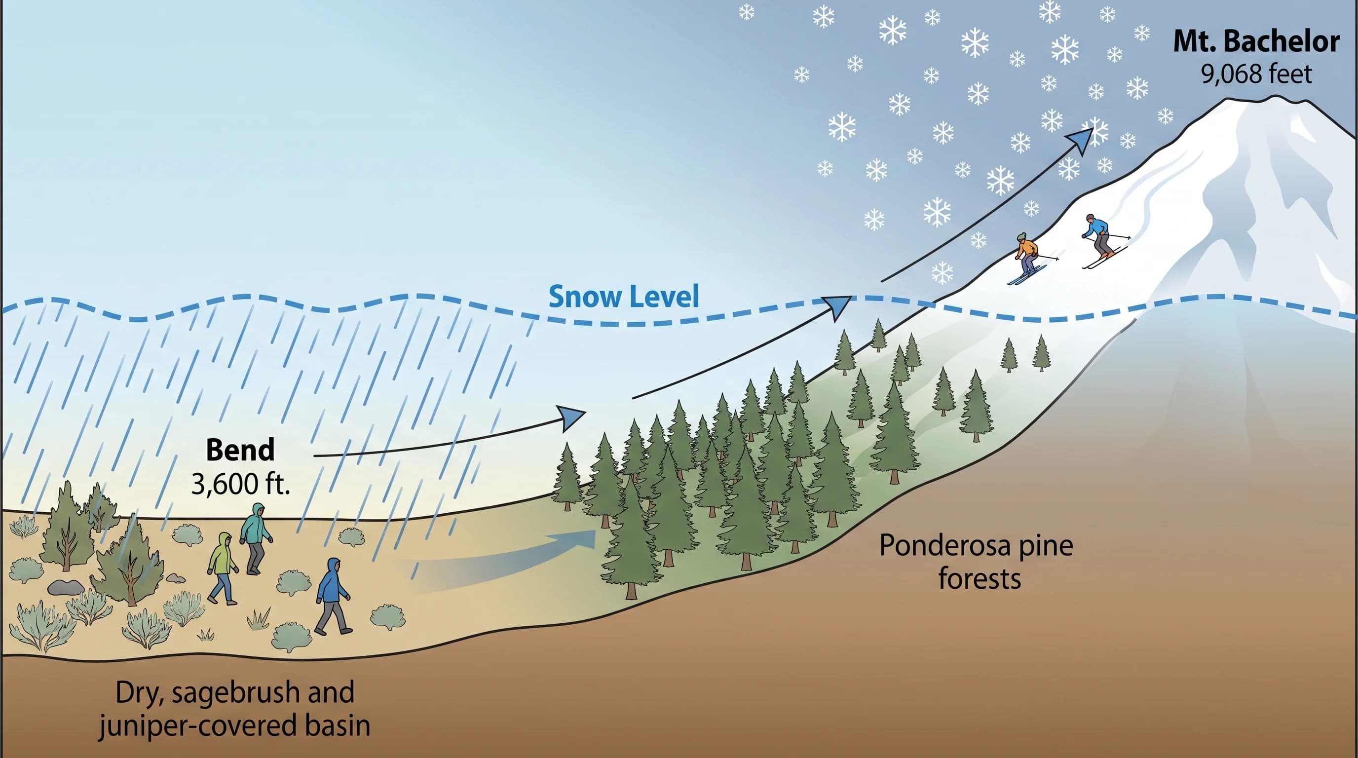
The elevation difference is enormous: Bend sits at about 3,600 feet and Mt. Bachelor's summit at 9,068 feet, a gap of nearly a mile straight up over just 22 miles of road. The base area alone, around 6,300 feet, is roughly 2,700 feet above Bend. That vertical spread crosses multiple climate zones, from high desert to subalpine, which is why a single drive up to the mountain can take you from rain to deep snow in under an hour.
That huge vertical range over a short horizontal distance is the defining feature of weather in the area, and it is why Bachelor can be buried while Bend is merely wet. The mountain's own conditions, including how much colder and windier the summit is than the base, are covered in the Mt. Bachelor weather guide.
When Does the Snow Level Put Bend Right on the Edge?
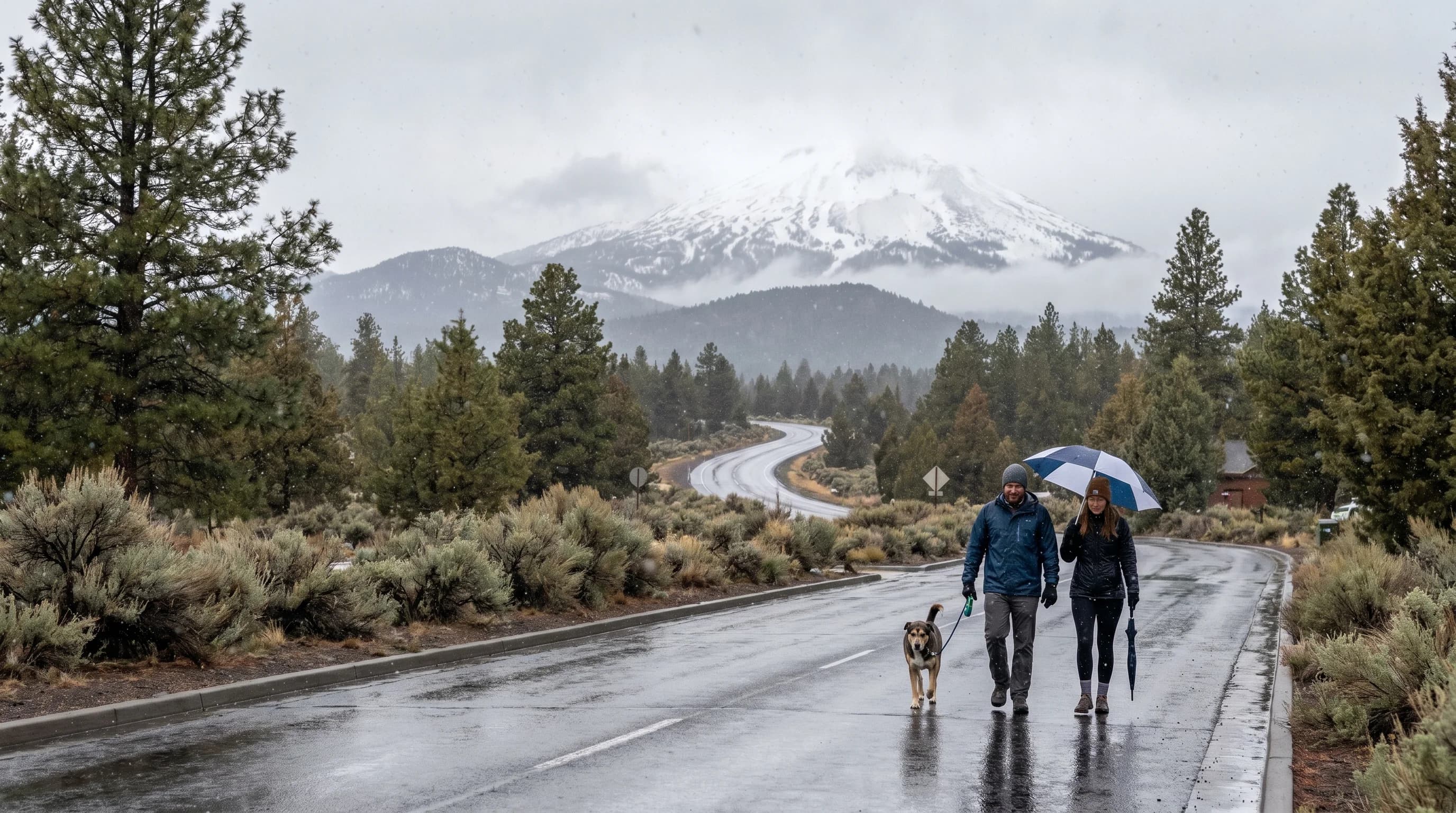
Bend sits right on the rain-snow edge whenever the snow level hovers near 3,500 to 4,000 feet, which is common in Central Oregon storms, so the city flips between rain, slush, and snow. A small drop in the snow level turns Bend's rain to snow, and a small rise turns its snow back to rain, which is exactly why Bend's winters are so variable and why its snow totals are modest compared with the mountains. The town is perpetually near the dividing line.
This is why two storms that look similar on a map can do completely different things in Bend, depending on whether the snow level lands just above or just below town. It is also why Bend's snow is so intermittent: the town lives in the zone where a few hundred feet of snow level decides everything.
How Do You Use Snow Level to Plan a Ski Day?
To plan a ski day, watch the forecast snow level: a low snow level means fresh snow well down the mountain and often new snow even at the base, while a high snow level can mean rain or slush at the base even as the summit gets snow. The lower the snow level during a storm, the better and deeper the coverage, and the more likely the powder reaches the lifts rather than just the upper slopes.
Timing trips to storms with low snow levels is how locals chase the best conditions, and watching the snow-level trend tells you whether a storm will deliver to the base or just the top. The same logic applies to driving the access road and the passes, which can be snowy and icy when town is merely wet. For the full regional snow picture, see the Central Oregon snow guide, and remember that in this region, elevation is destiny when it comes to snow.