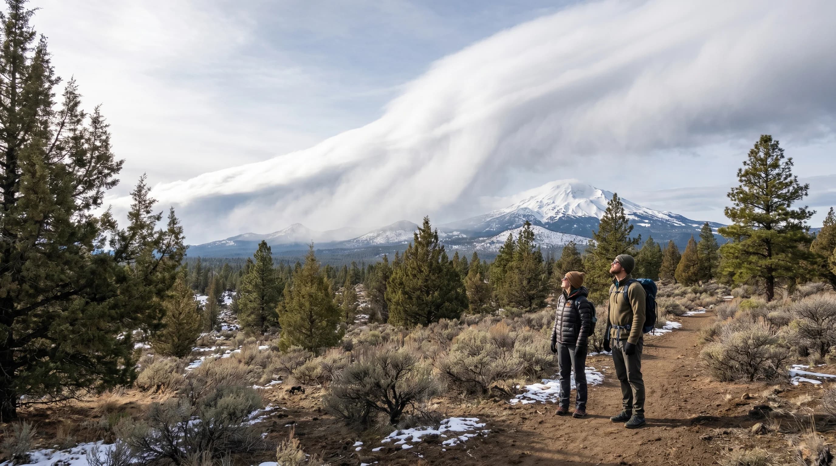
Most of Central Oregon's winter snow, and the snowpack that feeds its rivers all summer, arrives on a handful of big Pacific storms called atmospheric rivers. These are long, narrow ribbons of moisture that stream off the Pacific and slam into the West Coast, dumping enormous amounts of rain and snow. By the time they reach Central Oregon, the Cascades have wrung out much of their moisture, but the high country still catches deep snow, and a few of these storms each winter do most of the work of building the snowpack. Understanding atmospheric rivers explains why the region's water year can hinge on just a few big storms.
What Is an Atmospheric River?
An atmospheric river is a long, narrow corridor of concentrated water vapor in the atmosphere that transports huge amounts of moisture from the tropics and subtropics toward the mid-latitudes. A single strong atmospheric river can carry more water than the flow of the Mississippi River, funneled through a plume often only a few hundred miles wide but thousands of miles long. When one makes landfall on the West Coast, it delivers a concentrated burst of precipitation, the engine behind many of the region's biggest storms.
These plumes are a normal and essential part of West Coast weather, responsible for a large share of the annual precipitation in the Pacific Northwest and California. The Pacific Northwest version is sometimes nicknamed the Pineapple Express when the moisture streams up from near Hawaii. For Central Oregon, the key point is that the region's winter precipitation does not come in steady drizzle but in episodic surges, and atmospheric rivers are the biggest of those surges.
How They Bring Snow to Central Oregon
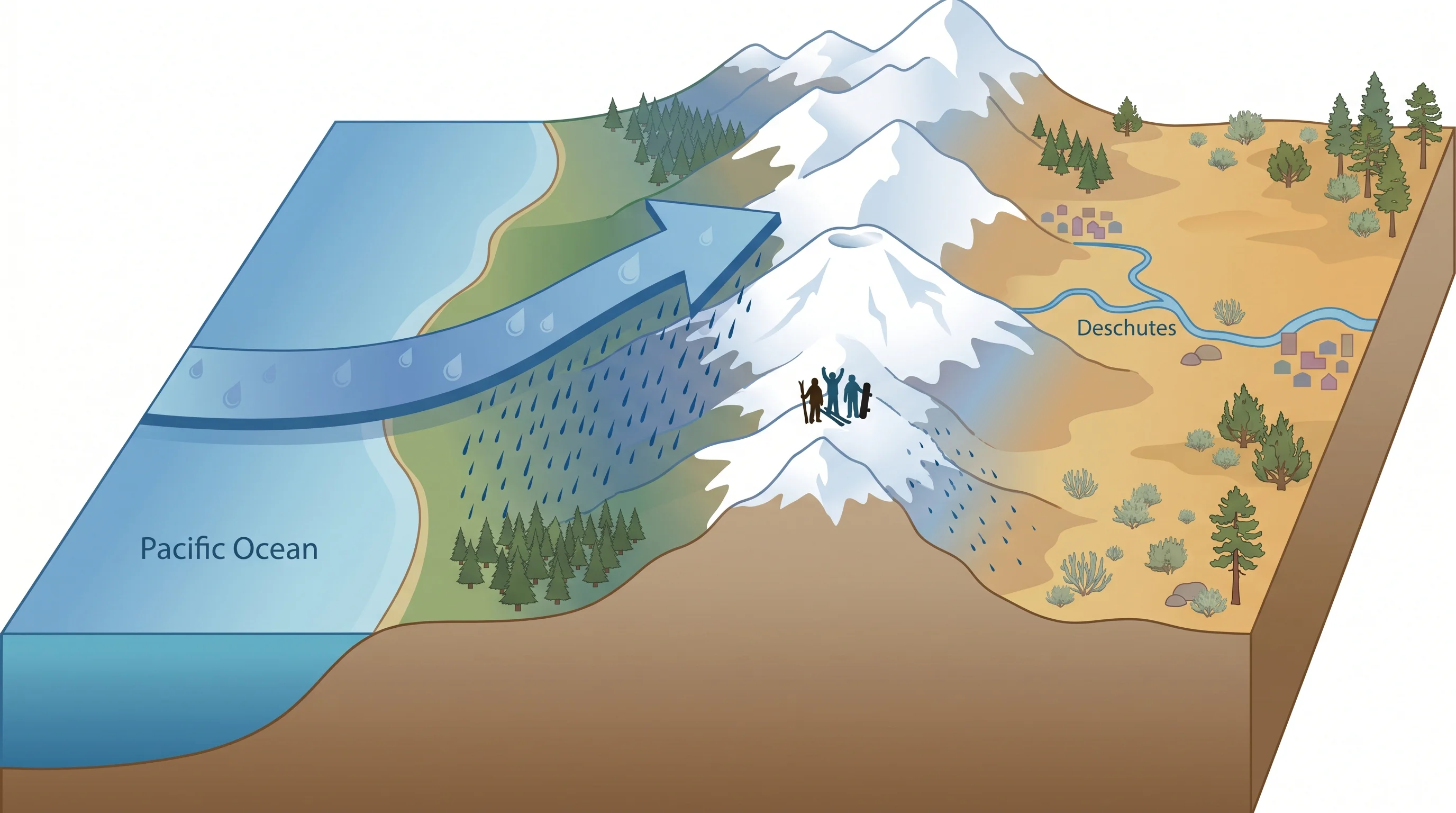
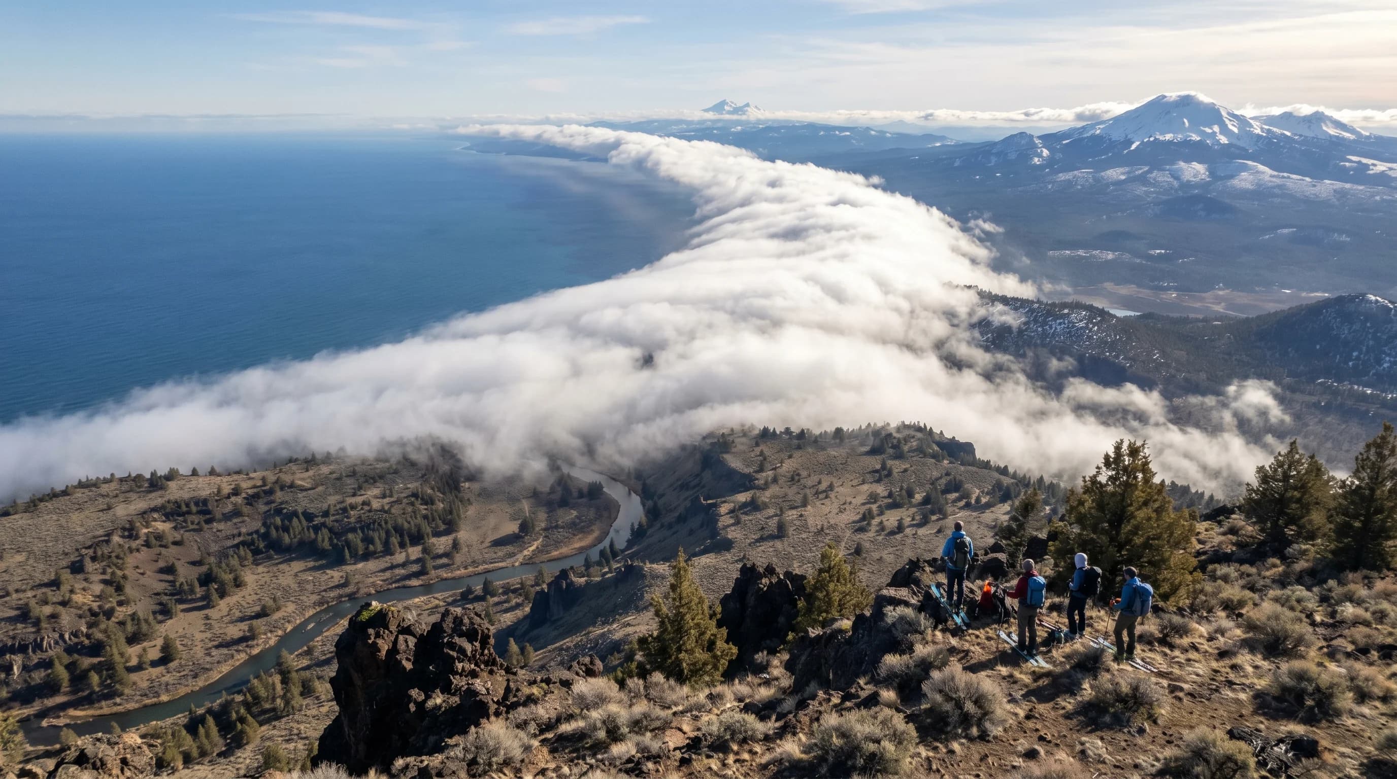
Atmospheric rivers bring snow to Central Oregon when their Pacific moisture is forced up and over the Cascades and falls as snow in the cold high country. As the moisture-laden air hits the mountains, it is lifted, cooled, and wrung out through orographic lift, the same process that creates the region's rain shadow, covered in the Oregon Cascades rain shadow. The western slopes get the heaviest precipitation, and where it is cold enough, the high country, including Mt. Bachelor, gets deep snow.
Because the Cascades intercept so much of the moisture, Central Oregon east of the crest gets far less than the west side, but the high country still receives the bulk of the storm's snow. The critical variable is the snow level, the elevation where precipitation changes from rain to snow, which depends on how warm the atmospheric river is. A warm atmospheric river can bring rain to town and even fairly high elevations, while a colder one snows down to the basin, which is why it can rain in Bend but snow at Mt. Bachelor during the same storm.
Why a Few Storms Matter So Much
Central Oregon's winter snowpack is built by a small number of big storms, so a few strong atmospheric rivers, or their absence, can make or break the water year. Rather than accumulating evenly all winter, the snowpack tends to jump with each major storm and stagnate in between, so the timing and number of atmospheric rivers largely determine how deep the snowpack gets. A winter rich in atmospheric rivers builds a deep snowpack; a winter that misses them can leave the mountains lean even if the weather is otherwise cold.
This matters enormously because the Cascade snowpack is Central Oregon's water tower, storing winter precipitation and releasing it through spring and summer to feed the Deschutes and the region's rivers, lakes, farms, and towns. The depth of that snowpack, set largely by a handful of big storms, shapes summer water supply, river levels, and fire risk months later. It is also why ski conditions and water managers alike watch the atmospheric-river forecasts so closely through the winter.
Atmospheric Rivers, Warmth, and Flood Risk
The same atmospheric rivers that build the snowpack can also threaten it, when a warm one brings rain instead of snow or melts existing snow and drives flooding. A warm atmospheric river can raise the snow level dramatically, turning what would have been a snow-building storm into a rain event that not only fails to add snow but melts the existing pack. When heavy rain falls on snow, the combination of rainfall and rapid snowmelt can swell rivers and cause flooding, even in the normally dry high desert.
This dual nature, snowmaker or snow-melter depending on temperature, is why the warmth of an atmospheric river matters as much as its moisture. A cold, snowy atmospheric river is a gift to the snowpack and the ski season; a warm, rainy one can erode it and raise flood risk. As the climate warms, the balance between these outcomes is shifting, making the temperature of each storm an increasingly important question. For how these storms fit the seasonal picture, see the Central Oregon snow guide and the Central Oregon climate guide.