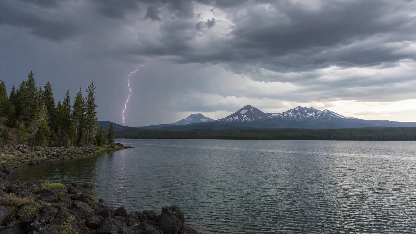
Lightning in Central Oregon is most important during summer afternoon storms, when hikers, climbers, paddlers, and campers are often far from shelter. Thunderstorms can build over the Cascades, Newberry, Smith Rock, and the high desert with little warning. If you can hear thunder, lightning is close enough to affect your plan.
Lightning Risk Rises on Summer Afternoons
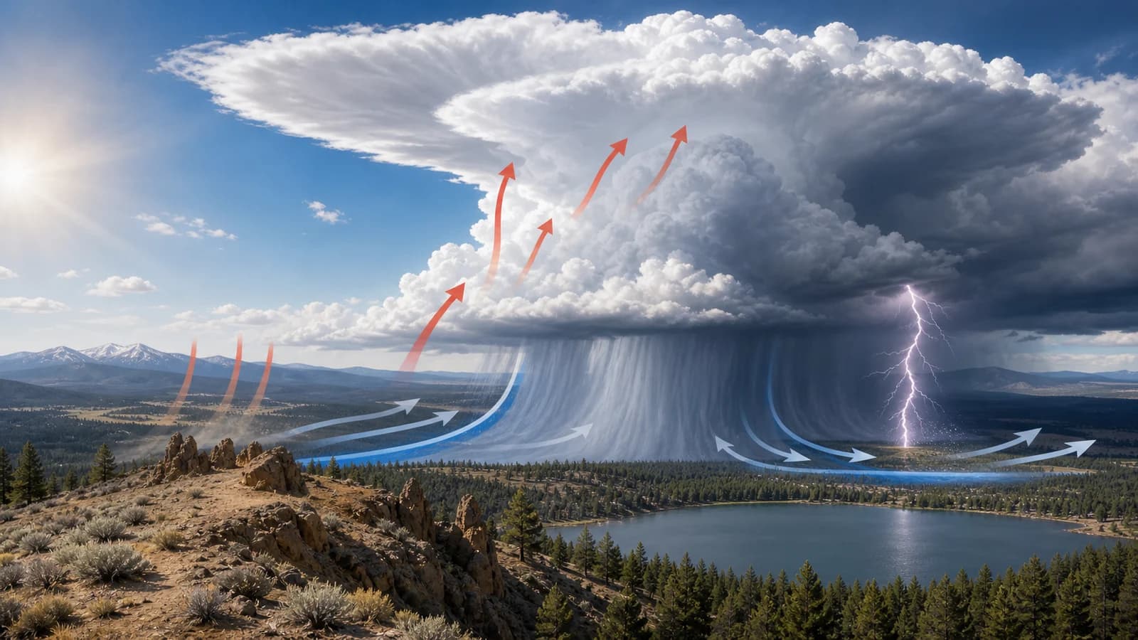
Central Oregon thunderstorms are mostly a product of daytime heating, terrain, and a pocket of moisture aloft, and the timing follows the sun. Storms need three ingredients: moisture, instability, and something to lift the air. On a summer afternoon the high desert and mountain slopes heat strongly, warming the air near the ground until it becomes buoyant and rises. As that warm, moist air climbs, it cools, its moisture condenses into towering cumulus clouds, and the condensation releases heat that drives the cloud higher still. By midafternoon a cloud that was not even visible at breakfast can tower into a thunderstorm producing lightning, gusty outflow wind, small hail, and brief heavy rain.
The Cascades add a reliable trigger. The mountains force air upward mechanically, so storms often fire first over the high terrain and then drift out over the high desert, which is why a clear morning in Bend can still mean an active afternoon over the peaks and lakes. This timing is what makes morning starts so much safer for trips to Smith Rock, the Cascade Lakes, Paulina Peak, and the exposed ridges near Mt. Bachelor. Being on an exposed summit at 3 p.m. when storms are in the forecast puts you at the worst place at the worst time, right as instability peaks.
Exposed Ridges, Rock, and Lakes Are Higher-Risk Places
Lightning seeks efficient paths between cloud and ground, and people are more exposed on open rock, ridgelines, lake surfaces, meadows, and high points. Smith Rock climbers, paddlers on Elk Lake or Sparks Lake, hikers on Paulina Peak, and anyone on an open summit should treat thunder as a signal to move.
Water is especially unforgiving, for two reasons. First, a person in a boat or standing in a lake is often the tallest object on a flat, open surface, which is exactly what lightning tends to find. Second, a calm lake day can turn dangerous before the storm even arrives: a thunderstorm's outflow, the cool gust front that races out ahead of the rain, can hit the water minutes before the first drop, kicking up sudden chop and pushing small craft around. If thunder starts while you are on the water, the goal is to reach shore and move away from exposed shoreline points, docks, and lone trees as quickly as is safe. On a lake oriented along the wind, such as Elk Lake or Sparks Lake, that outflow can build a rough surface fast, so the safe window to get in is shorter than it looks.
Dry Lightning Can Start Fires Even When Little Rain Falls
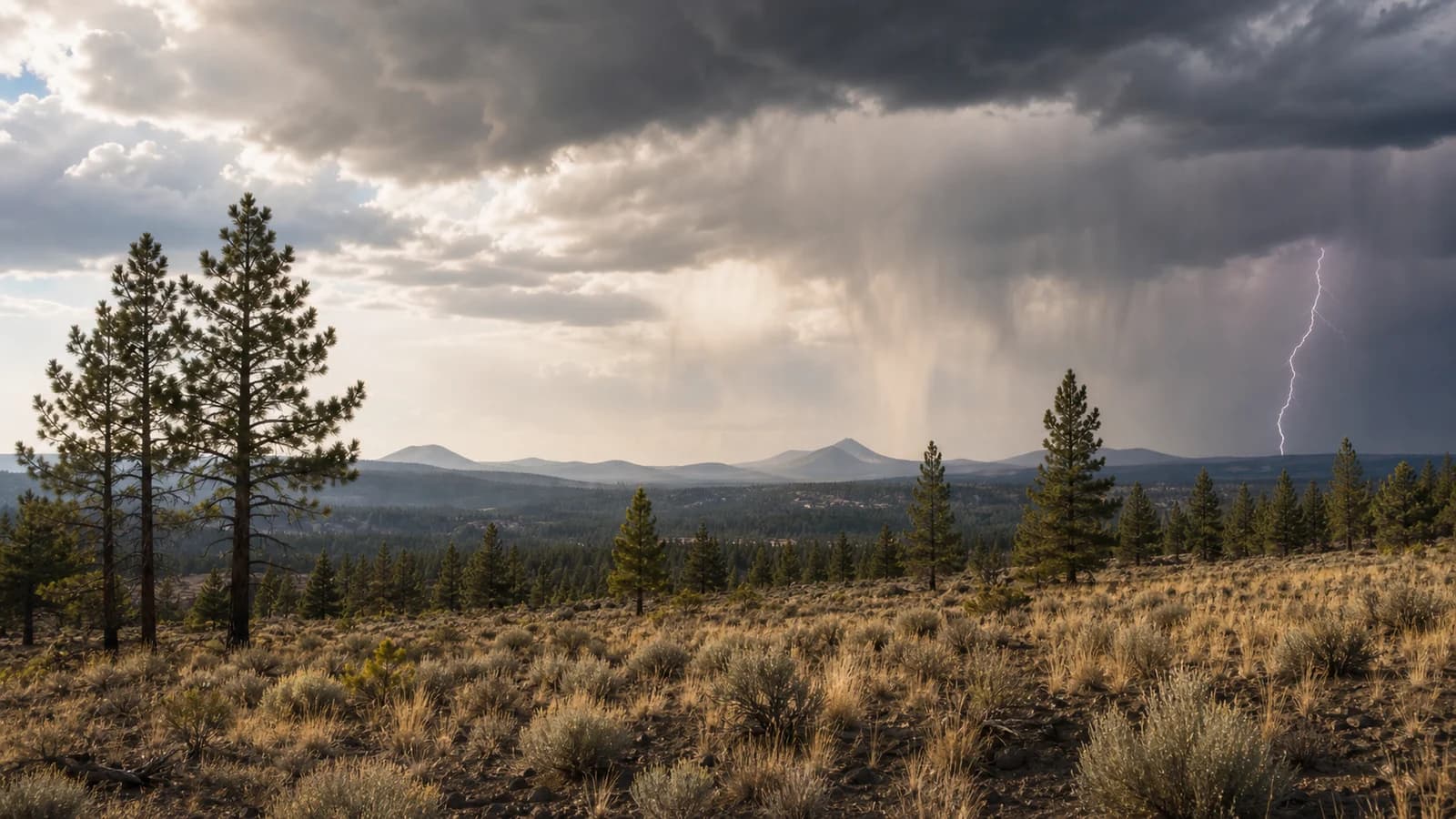
Dry lightning is cloud-to-ground lightning from storms that produce little rain at the surface. In Central Oregon's dry air, some rain evaporates before reaching the ground, a process known as virga. The storm still produces lightning and wind, but the ground may receive little moisture to offset the fire-start risk.
That combination is why dry thunderstorms are such a serious fire-weather concern in Central Oregon. A single storm can throw dozens of cloud-to-ground strikes into cured grass, juniper, and timber, and with little rain reaching the surface to wet the fuels, any one of them can start a fire. The same outflow winds that make the storm dangerous to people then fan those new starts and can spread them before steady rain ever arrives. Forecasters issue Red Flag Warnings for exactly this setup, dry lightning over dry fuels with gusty wind, and a single dry-storm outbreak can ignite many fires across the region at once.
A storm does not need to be wet to be dangerous, then, either to a hiker or to the landscape. The smoke that follows a lightning-caused fire then drifts according to the larger wind pattern, which is why the day-after air quality so often depends on east versus west wind in Central Oregon.
Use Thunder, Clouds, and Timing to Make Safer Choices
The simplest tool is the 30-30 rule, and it works because of basic physics. Light reaches you almost instantly, but sound travels about a mile every five seconds, so counting the seconds between the flash and the thunder tells you how far away the strike was: a count of 30 seconds means the lightning was roughly six miles off, which is within the range a storm can throw the next strike. So if the flash-to-bang count is 30 seconds or less, the storm is close enough to be dangerous and it is time to seek shelter. The second 30 is the wait: stay sheltered for at least 30 minutes after the last thunder, because strikes can come from the trailing edge of a storm well after the rain stops. In the high desert, also watch for darkening cloud bases, sudden cool gusts, blowing dust, and distant rain shafts as early warnings. Silent flashes on the horizon at night are heat lightning, real lightning from a storm too far away to hear.
Forecast wording matters. "Slight chance of thunderstorms" is not a promise that every destination will see a storm, but it is enough to change timing for ridge hikes, climbing, lake paddles, and long exposed bike rides.
What to Do If Lightning Starts While You Are Outside
Move away from ridges, isolated trees, open water, metal gear, and exposed rock. A hard-topped vehicle or substantial building is the best shelter. If you are hiking, descend from high points and spread out from your group so a single strike cannot injure everyone. Avoid shallow caves or overhangs because lightning can travel across rock surfaces.
It is worth clearing up a few common myths, because they get people hurt. Lightning absolutely strikes the same place twice, and tall, isolated objects get hit repeatedly, so a lone tree is a hazard, not a shelter. Rubber-soled shoes and car tires do not protect you; a hard-topped vehicle is safe because its metal shell routes current around the occupants, not because of the tires. And you do not need to be under the storm to be struck, since bolts can reach several miles out from the rain, which is exactly why the flash-to-bang count matters even when the sky overhead still looks clear.
The best lightning plan happens before the storm forms. Start early, check radar and the forecast discussion when storms are possible, and choose lower, sheltered routes if the afternoon looks unstable. Central Oregon storms can be beautiful from a safe distance; they are much less fun from the top of an exposed ridge. The reason storms can change so quickly is tied to the same high-desert climate pattern that drives large day-to-night swings, and they are part of the broader picture of why Central Oregon gets sudden summer thunderstorms.