Wind chill is how cold the air actually feels on your skin once the wind is factored in. Wind strips away the thin layer of warm air your body holds against your skin, so the faster the wind blows, the faster you lose heat and the colder it feels, even though the thermometer never changes. At 20 degrees a stiff wind can make it feel like 5 degrees or colder, and on exposed Cascade ridges or the open high desert that difference is enough to turn a manageable cold day into a genuinely dangerous one.
What Is Wind Chill?
Wind chill, sometimes called the wind chill factor or the feels-like temperature, is a measure of the cooling effect of wind on exposed skin. The actual air temperature is only part of how cold you feel; the other part is how fast your body is losing heat to the air around it. Wind dramatically speeds up that heat loss, so wind chill expresses the combined effect as a single number, the temperature it feels like rather than the temperature the thermometer reads.
It is important to understand that wind chill does not actually lower the air temperature or the temperature of objects. A thermometer in the wind reads the same as one in still air, and a parked car will not freeze any harder because of wind chill alone. What wind chill affects is living things and anything warmer than the air, by accelerating how quickly they shed heat. That is why wind chill matters so much for people and so little for the pavement, and why it is a measure of comfort and safety rather than of the air itself.
How Does Wind Chill Work?
Wind chill works through convective heat loss. Your body constantly warms a very thin boundary layer of air right against your skin, and in still conditions that warm layer lingers and acts as insulation, slowing further heat loss. Wind blows that warm layer away as fast as your body can create it, so your skin is continually exposed to fresh cold air and has to keep giving up heat to warm it. The faster the wind, the faster the warm layer is stripped, and the faster you lose heat.
This is why a calm cold day can feel far milder than a windy one at the very same temperature, and why the wind chill effect grows as wind speed increases, though it levels off at very high speeds once the boundary layer is already being stripped about as fast as possible. The same physics is why a hot drink cools faster when you blow on it. For your body, the practical upshot is that wind, not just temperature, determines how quickly you head toward dangerous cold.
How Is Wind Chill Calculated, and When Does It Apply?
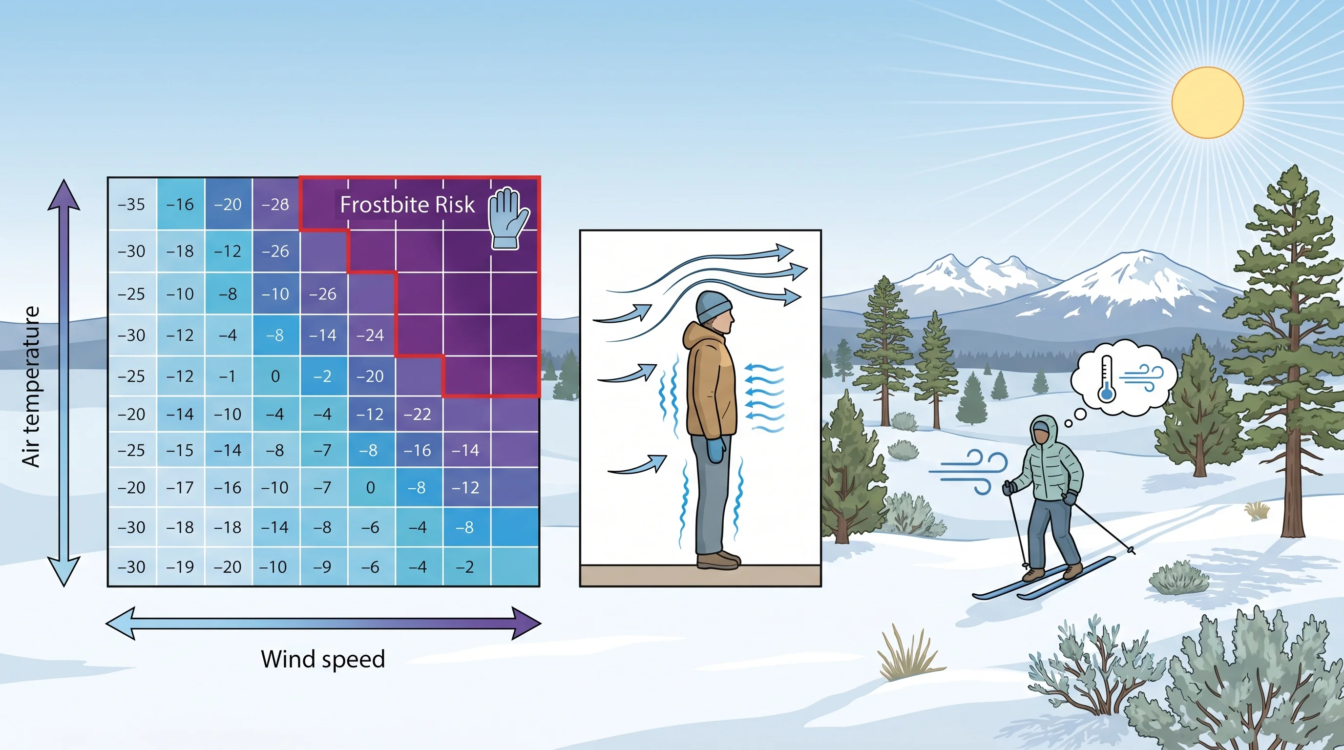
Wind chill is calculated from the air temperature and the wind speed using a standard formula that the National Weather Service adopted in 2001, based on how fast heat is lost from exposed skin. You do not need to do the math yourself; forecasts, apps, and wind chill charts give you the feels-like value directly. The formula applies only at or below 50 degrees with wind above about 3 miles per hour, since wind chill is a cold-weather concept and means little on a warm or calm day.
Reading a wind chill chart, you find the air temperature along one axis and the wind speed along the other, and the cell where they meet is the feels-like temperature. Many charts also shade the frostbite-risk zones, showing how many minutes of exposure it takes for frostbite to set in at a given combination. As both the cold and the wind increase, that safe-exposure time drops sharply, which is the most useful thing the chart tells you for planning time outdoors.
Is Wind Chill Dangerous? How Fast Does Frostbite Happen?
Wind chill is dangerous because it speeds up both frostbite and hypothermia, and at extreme values frostbite can begin on exposed skin within minutes. The lower the wind chill, the shorter the safe exposure time: at moderately cold wind chills you have plenty of time, but as the feels-like temperature drops well below zero, exposed skin can be at risk in well under half an hour, and in the most extreme cases in just a few minutes. Hypothermia, the dangerous drop in core body temperature, is the deeper threat over longer exposure.
The defenses are straightforward: cover every bit of exposed skin, dress in windproof outer layers that block the air from stripping your warmth, watch for early warning signs like numbness or waxy, pale skin, and head for shelter if you cannot stay warm. Because wind chill is about heat loss, blocking the wind matters as much as adding insulation, which is why a thin windproof shell can make a bigger difference than a bulky but breathable layer.
Where Does Wind Chill Bite in Central Oregon?
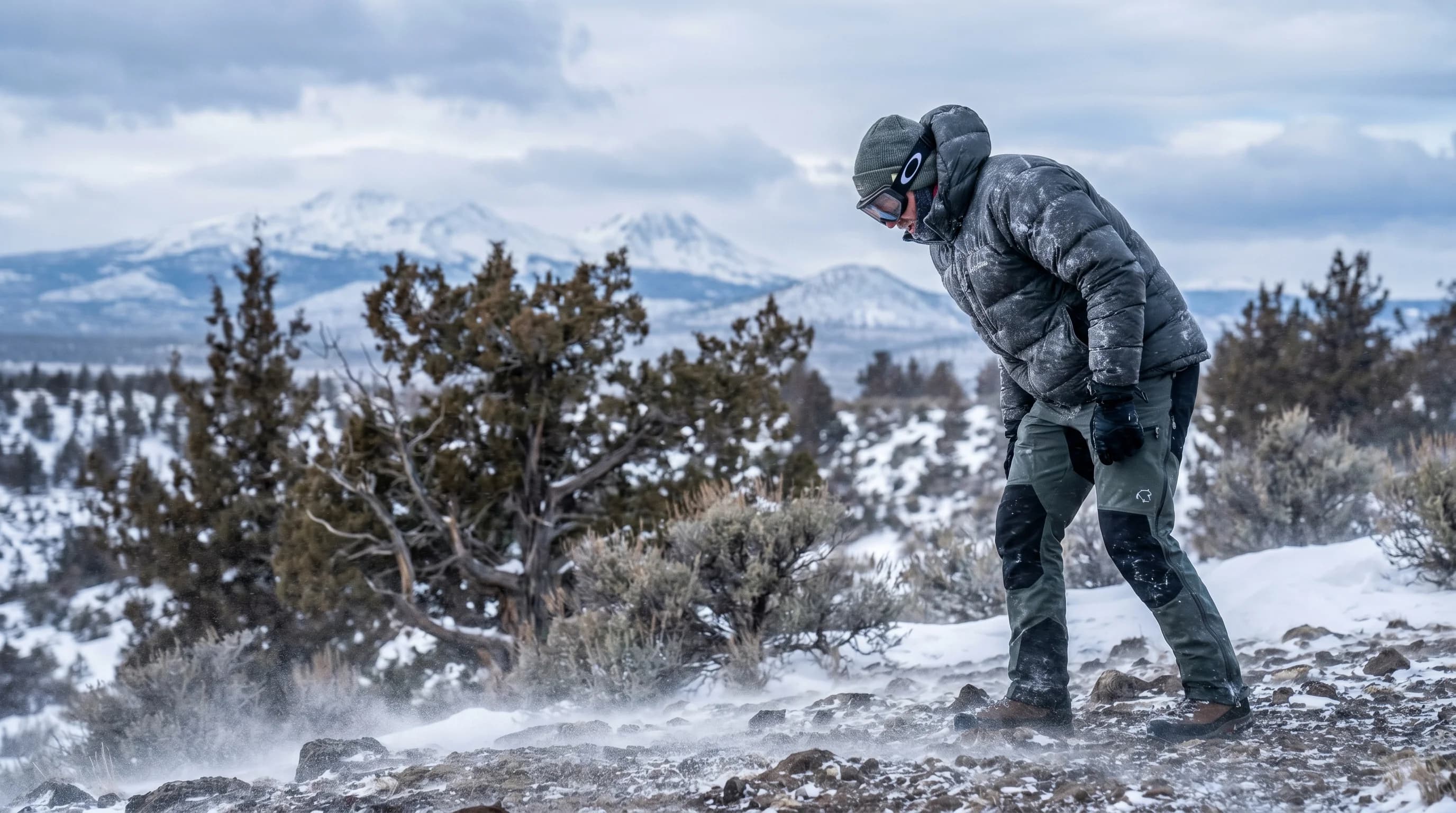
Wind chill bites hardest in Central Oregon up in the exposed Cascades and across the open high desert on windy winter days. Mt. Bachelor's summit and the high ridgelines can feel brutally colder than the base, because they combine genuinely cold air with strong, unobstructed wind; a calm reading at the base can correspond to a dangerous wind chill on the upper mountain. Skiers, riders, and anyone heading to the summit should dress for the feels-like temperature up high, not the one in the parking lot.
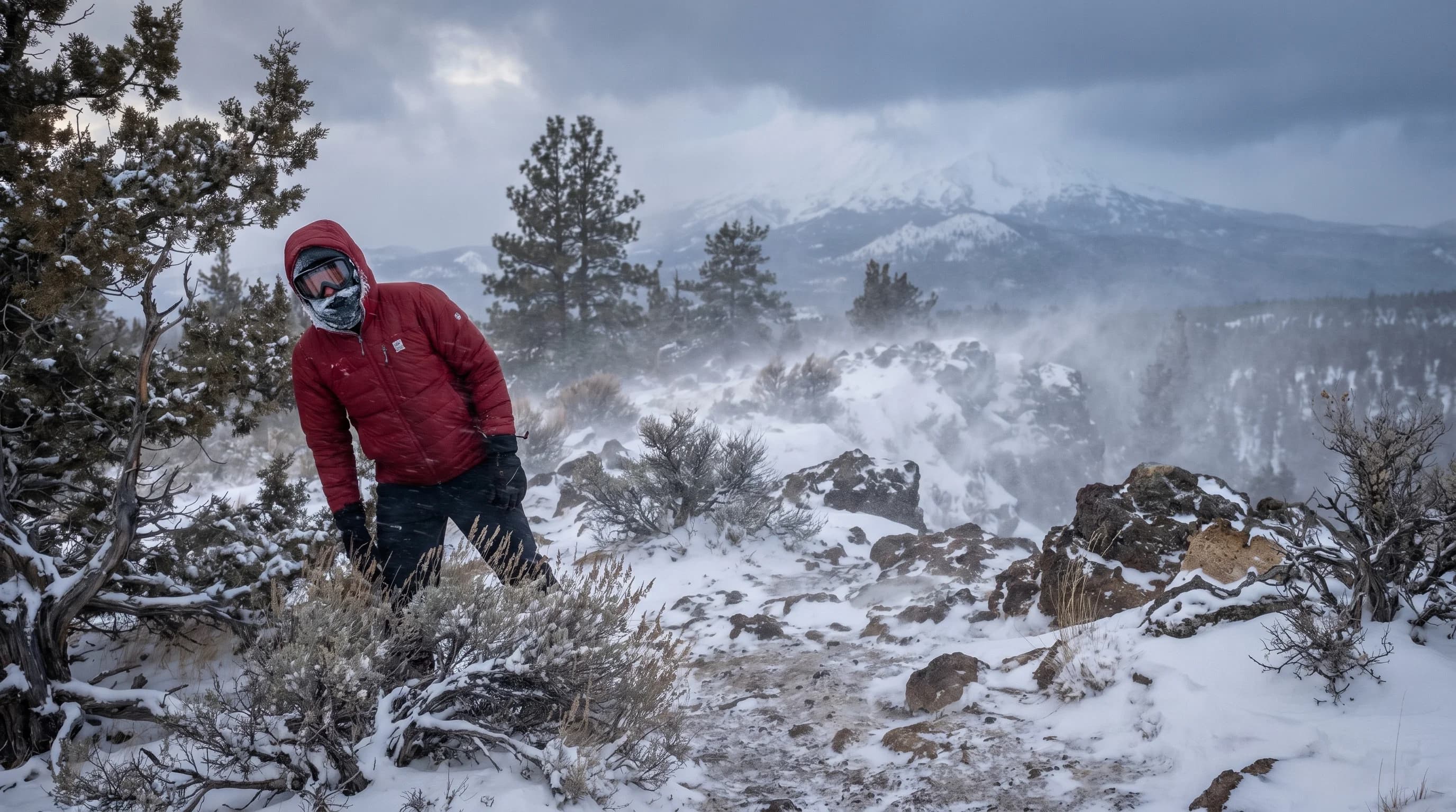
Down in the basins, the open terrain around Bend and Redmond offers little to block the wind, so a cold, breezy high-desert day can drive the wind chill well below the air temperature. Combined with the region's already big day-to-night temperature swings, a clear, cold, windy morning can be deceptively hazardous. The exposure side of this is closely tied to the region's wind pattern, covered in why Bend afternoons get gusty, and to the Cascade conditions in the Mt. Bachelor weather guide. The simple rule for the high desert in winter is to factor the wind into how you dress, not just the number on the thermometer.