Central Oregon has some of the biggest day-to-night temperature swings in the country, often 30 to 40 degrees between a warm afternoon and the cold dawn that follows. A July day can hit the mid-80s and fall into the 40s overnight; a May afternoon in the 60s can give way to a hard frost by morning. This dramatic daily swing, what meteorologists call diurnal temperature range, is the signature of the high desert, and it comes down to three things: high elevation, dry air, and clear skies. Together they let the ground heat quickly by day and shed that heat just as quickly at night.
What Is a Day-to-Night Temperature Swing?
The day-to-night temperature swing, or diurnal temperature range, is the difference between the afternoon high and the overnight low, and in Central Oregon it is routinely 30 to 40 degrees. For comparison, a humid coastal city might swing only 10 to 15 degrees between day and night. The high desert's swing is more than double that, which is why a Bend summer afternoon can be genuinely hot while the same night requires a jacket, and why frost is possible overnight even in late spring and early fall.
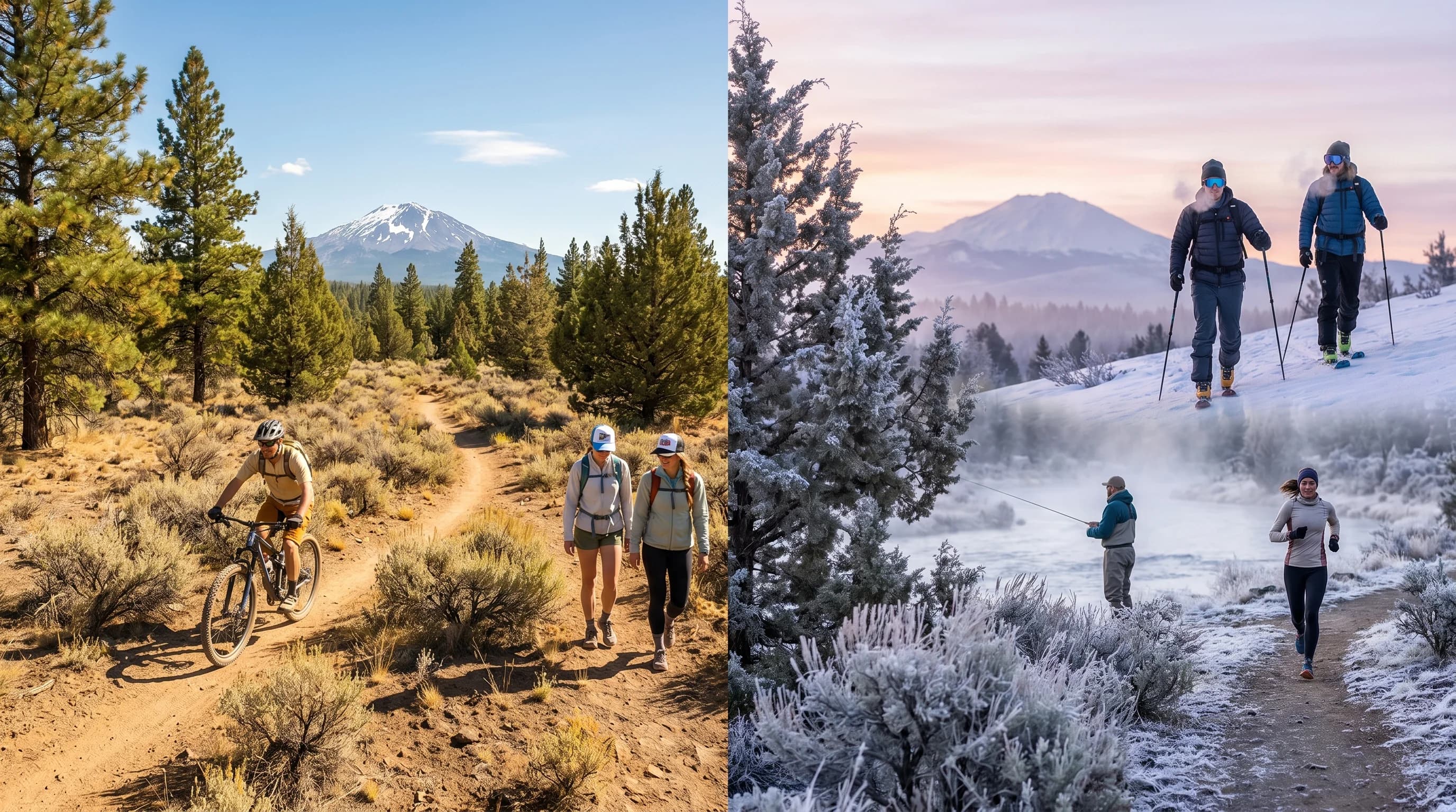
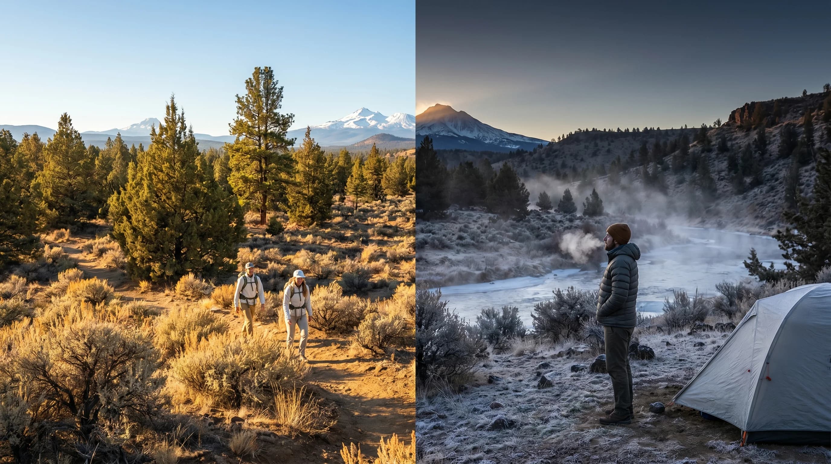
This big swing is the reason layering is non-negotiable in Central Oregon and why the heat rarely feels oppressive even in midsummer: no matter how warm the afternoon, the night cools off sharply for comfortable sleeping. It also drives some of the region's most distinctive weather, from the hard overnight freezes that produce freezing fog to the morning frosts that catch gardeners off guard. Understanding the swing is the key to understanding the high desert.
Elevation and Thin Air
Central Oregon's high elevation is the first reason for its big temperature swings, because the thin air at 3,000 to 4,000 feet holds less heat and cools faster than the denser air at sea level. Bend sits at about 3,600 feet, Redmond near 3,000, and the surrounding plateau higher still. At that elevation the atmosphere above is thinner, so there is less of it to absorb and re-radiate the day's heat back toward the ground after sunset. Less of an atmospheric blanket means faster cooling once the sun goes down.
The same thin air lets sunlight reach the ground with less filtering during the day, so the surface heats efficiently under the high-elevation sun, which is also why the high-desert sun burns so fast. The combination is a recipe for extremes: strong daytime heating because the sun comes in clean, and rapid nighttime cooling because there is little atmosphere overhead to hold the heat in. Elevation sets the stage for the swing.
Dry Air and Clear Skies
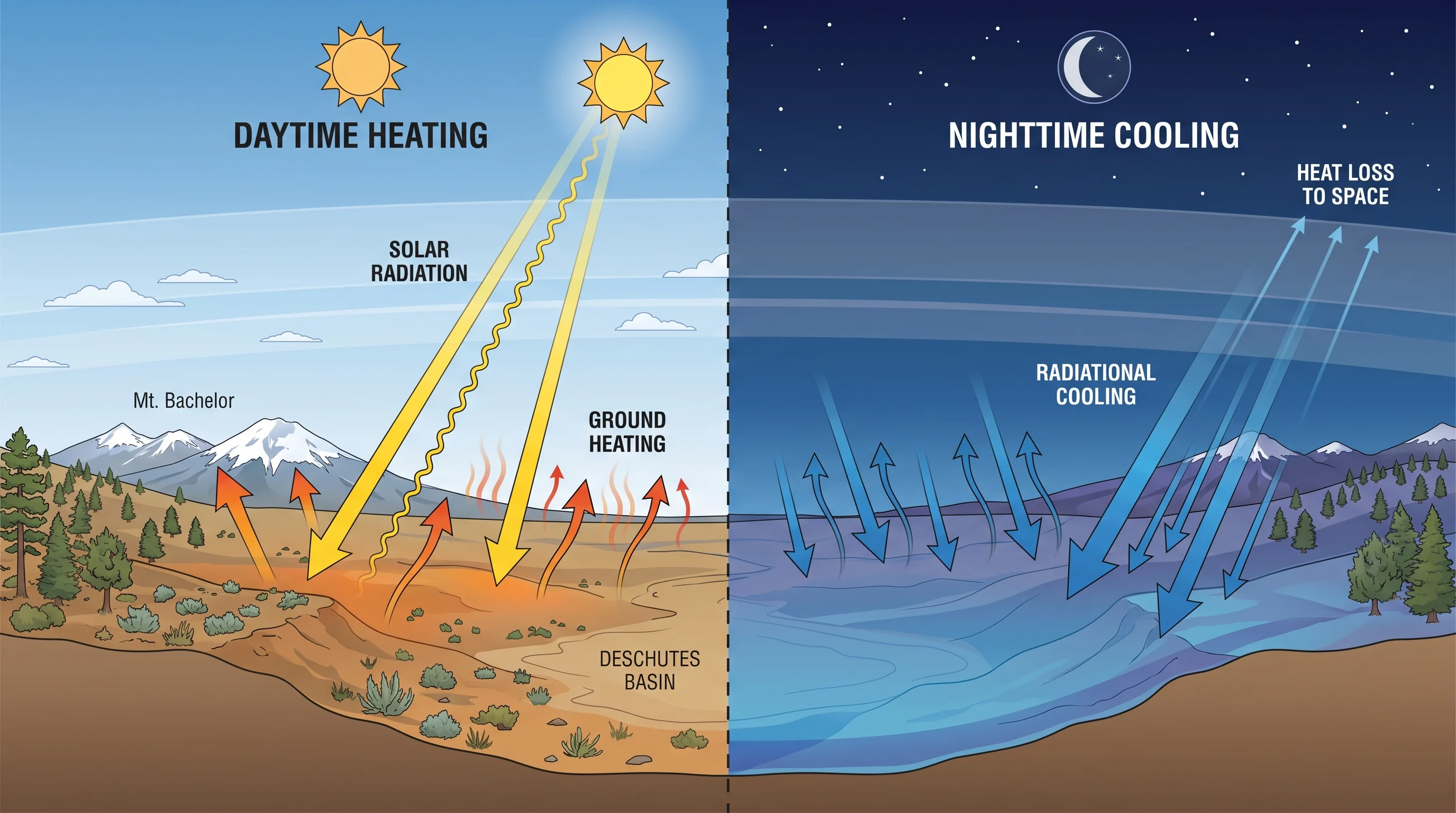
Dry air and clear skies are the biggest drivers of Central Oregon's temperature swings, because water vapor and clouds are what normally trap heat overnight, and the high desert has little of either. Water vapor is a powerful greenhouse gas: in humid climates, the moisture in the air absorbs the heat radiating up from the ground at night and radiates much of it back down, keeping nights warm. Central Oregon's air is dry, so there is little moisture to do this, and the ground's heat escapes almost unimpeded to space.
Clear skies amplify the effect dramatically. Clouds act like a lid, reflecting the ground's radiated heat back down at night, but on the high desert's frequent clear nights there is no lid at all, and the surface cools rapidly through a process called radiational cooling. The clearer, drier, and calmer the night, the more the temperature plummets. This is why the biggest swings happen under exactly the high-pressure conditions that bring sunny days and calm, cloudless nights, the same setup behind the region's deep winter cold and temperature inversions.
Why the Swing Matters
The big day-to-night swing shapes daily life and recreation in Central Oregon, from how you pack and dress to when frost threatens and how comfortable the nights stay. The most immediate consequence is layering: a single day can call for shorts and sun protection in the afternoon and a real jacket at dawn, so visitors who pack for only one temperature are caught out, the practical side of which is covered in what to pack for Bend by month. Gardeners and farmers plan around the late-spring and early-fall frosts that the swing produces even when afternoons feel warm.
The swing also has real upsides. Hot summer afternoons give way to cool, comfortable nights, so air conditioning is far less essential than the daytime heat alone would suggest, and sleeping is easy. The cool nights and warm days are also part of what makes the region's growing conditions distinctive. The flip side is the hazard end: the same hard overnight cooling that cools a hot night also drives the freezing fog and ice that make winter mornings dangerous. The swing is the through-line connecting the region's heat, cold, and ice.
When Are the Swings Biggest?
Day-to-night swings are biggest under clear, calm, dry high pressure, which is most common in summer and early fall but can occur in any season. In midsummer, a brilliant clear day heats the surface strongly and the following cloudless, dry night sheds that heat completely, often producing a 35-degree-plus drop from a mid-80s afternoon to a 40s dawn. Early fall brings some of the sharpest swings of all, with warm days and the first frosts arriving within the same 24 hours.
Swings shrink when the weather turns cloudy, humid, or windy, because clouds trap heat, moist air resists cooling, and wind mixes the cold surface air with warmer air aloft before it can settle. So the grayest, wettest, windiest stretches, often in late fall and early winter, have the smallest day-to-night ranges, while the clear high-pressure spells in between have the largest. This dependence on clear, calm conditions ties the swing directly to the region's broader climate, explained in the Central Oregon climate guide. Once you understand the swing, the high desert's habit of needing a jacket at dawn and shorts by afternoon makes perfect sense.